Volcanarchy: Tajumulco pt. 2
A journey to the highest point in Central America: Volcán Tajumulco
The Journey Upwards
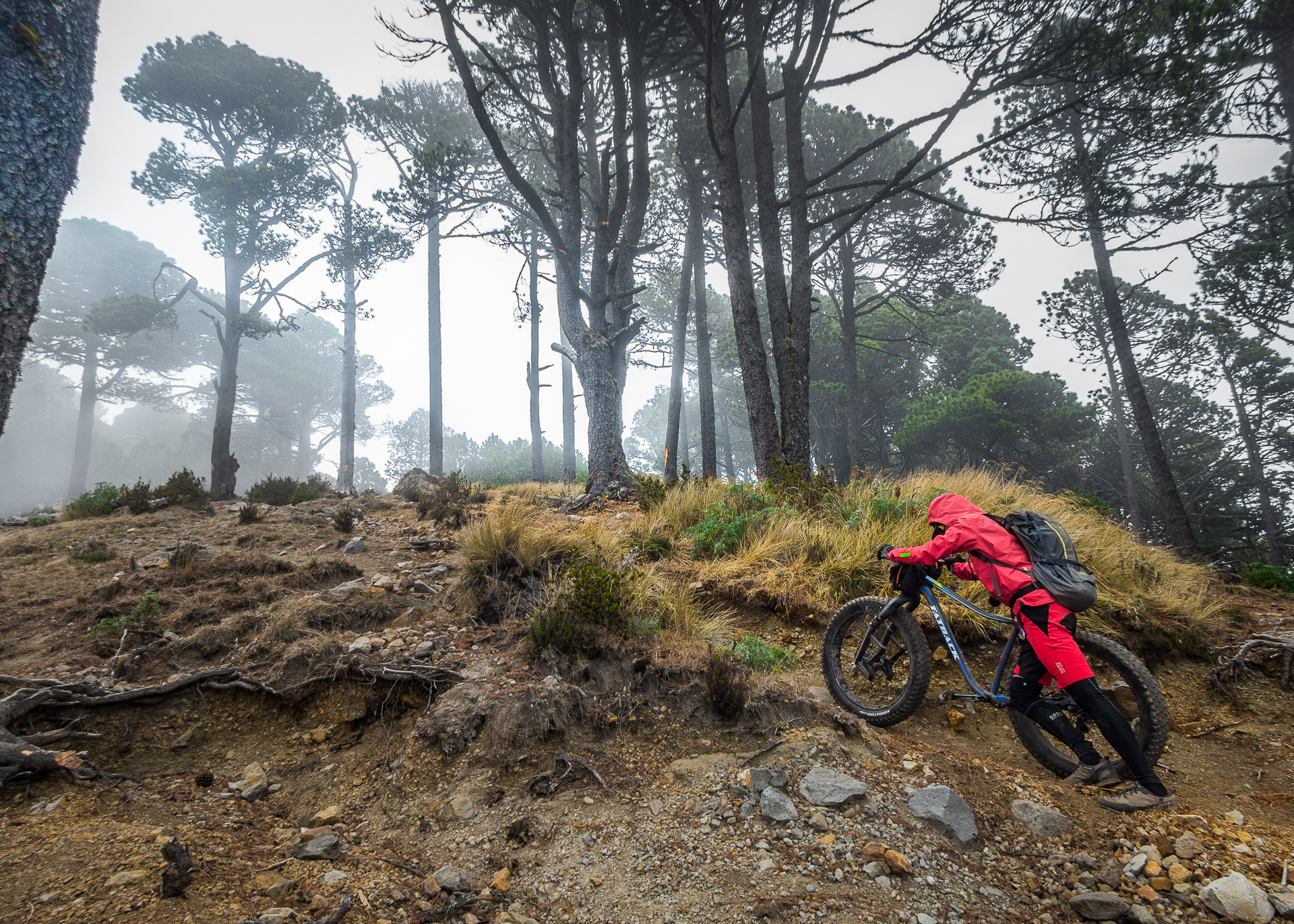
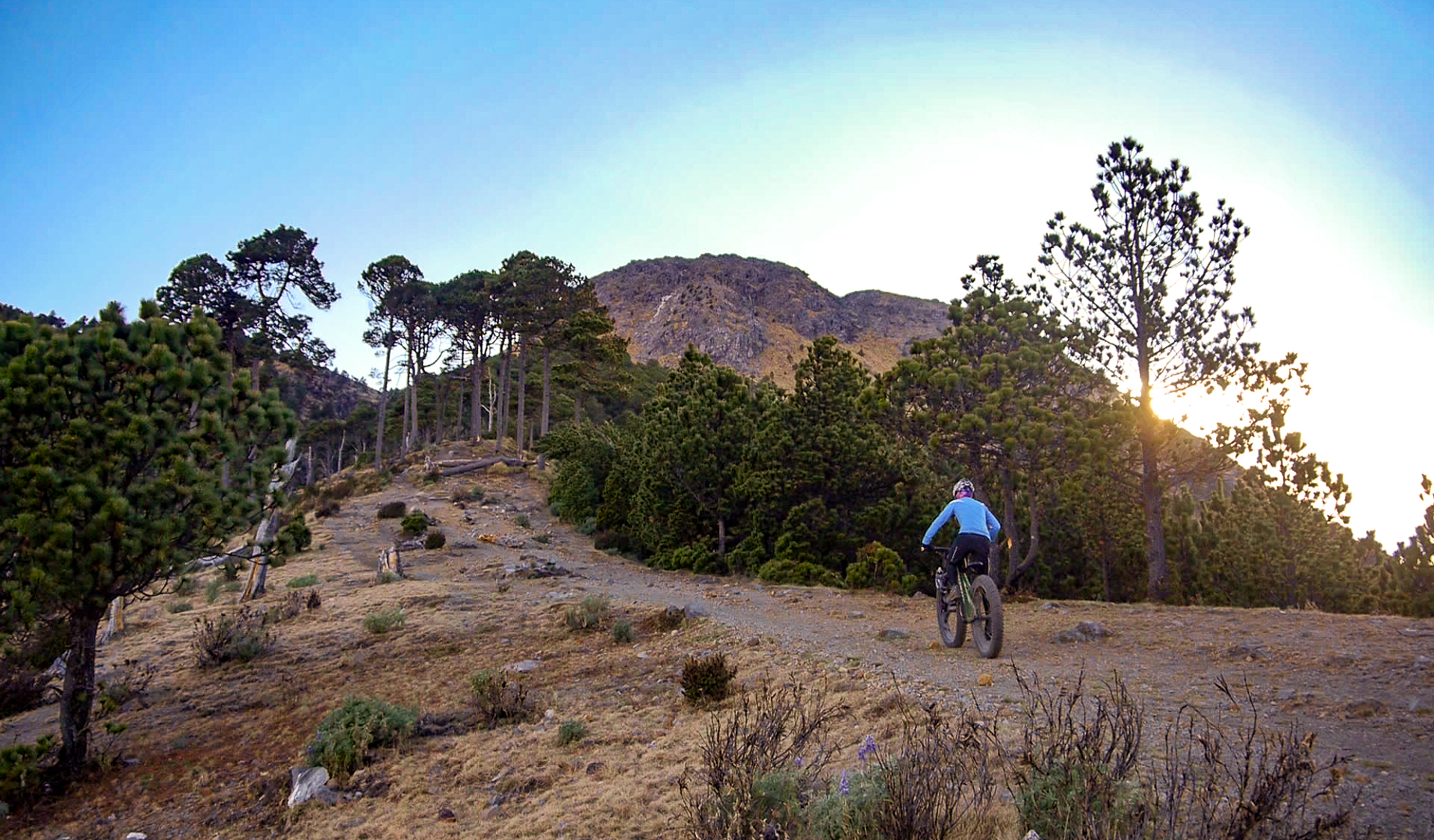
As Brendan and I snaked our way up the flanks of Volcan Tajumulco, the trail quickly turned steep. We gradually learned the most efficient and effective methods for each of us to make progress. Brendan’s preferred method was pushing. Since he is tall and can get more leverage against the load, he made good time this way.
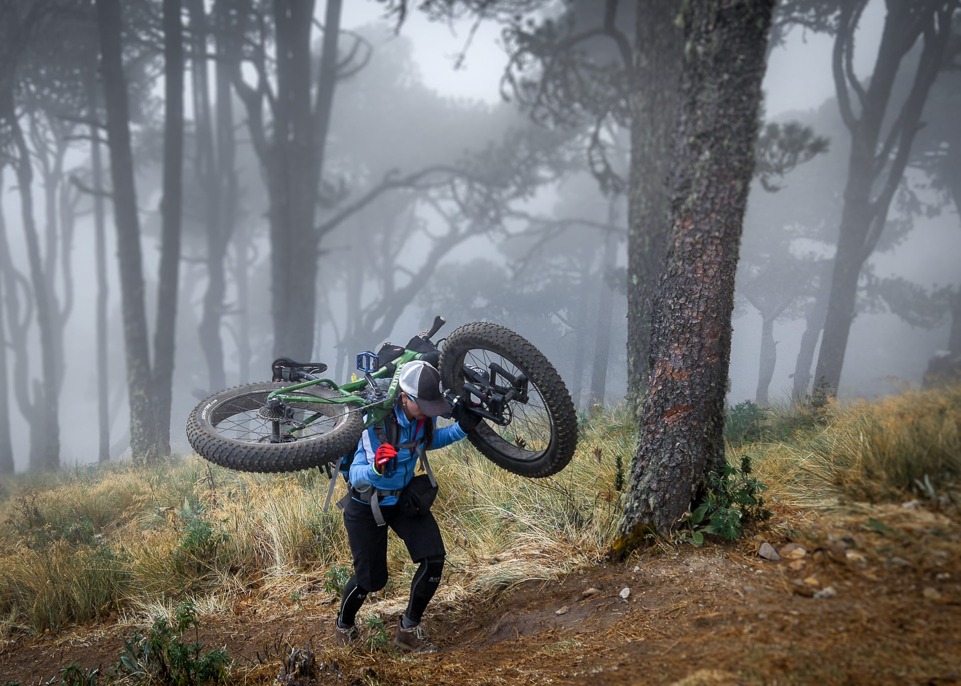
For me, the best method was lifting my bike overhead and balancing it across my shoulders, resting it on the top of my pack. Pushing the bike, for me, mostly results in pushing myself backwards. It is steep and loose, and the bike is too heavy. So I shoulder the bike, put my head down, turn off my brain, and march upwards.
For me, the best method was lifting my bike overhead and balancing it across my shoulders, resting it on the top of my pack. Pushing the bike, for me, mostly results in pushing myself backwards. It is steep and loose, and the bike is too heavy. So I shoulder the bike, put my head down, turn off my brain, and march upwards.
Below me, Brendan fell further and further back. I was worried, as I have never seen him move that slowly. Usually he is the strongest of any group we are in. I could tell he was deep in the pain cave and struggling. He had barely eaten anything in days, bedridden and sick, and he was running on nothing but tenacity and willpower.
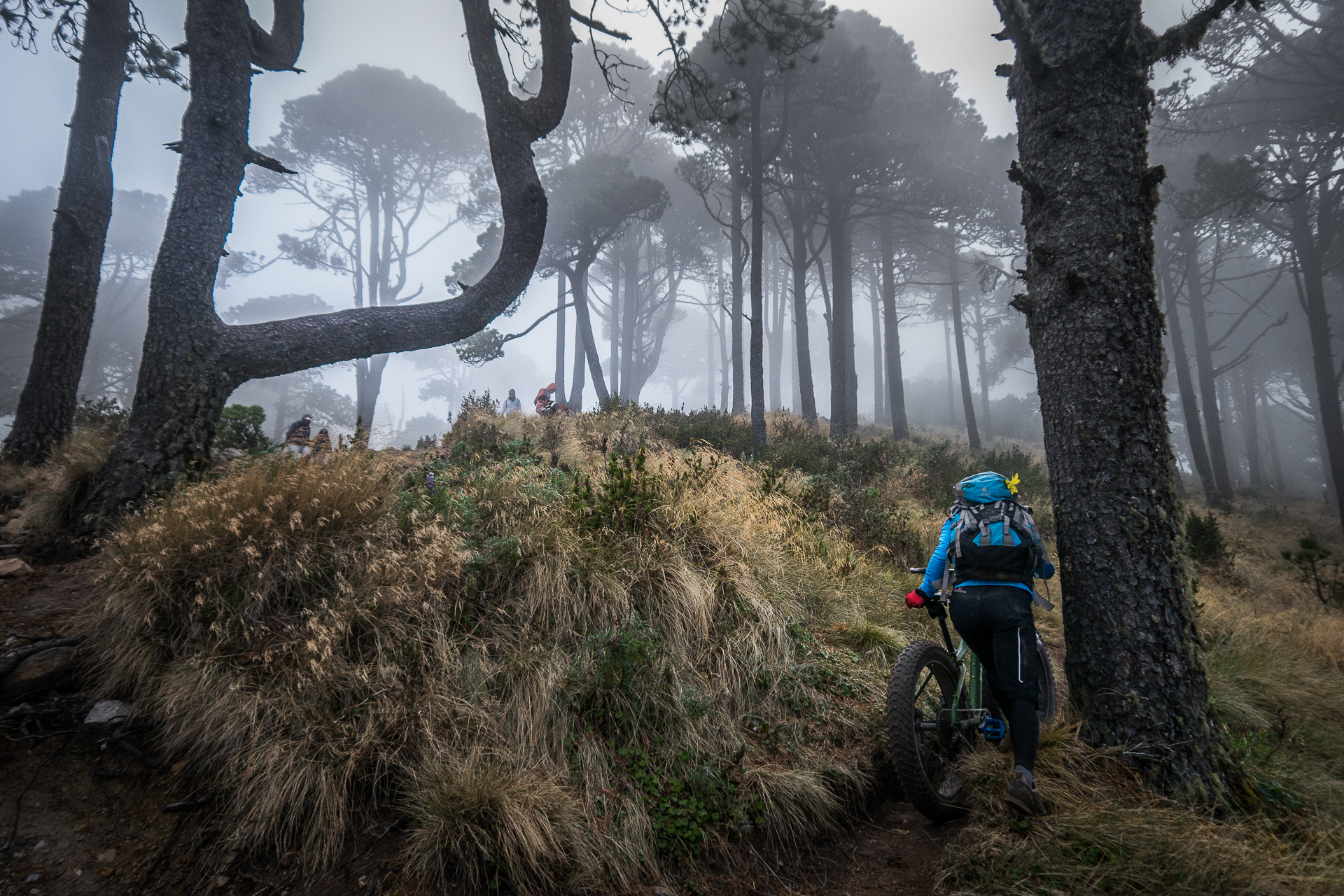
Above me, our friends were still sprinting uphill. I waited as they slipped from my sight. Brendan and I had always stuck together on rides where one of us was struggling, the other hanging quietly back for moral support. This time would be no different. I knew he would push as far as he could.
Volcán Tajumulco (4,220m)
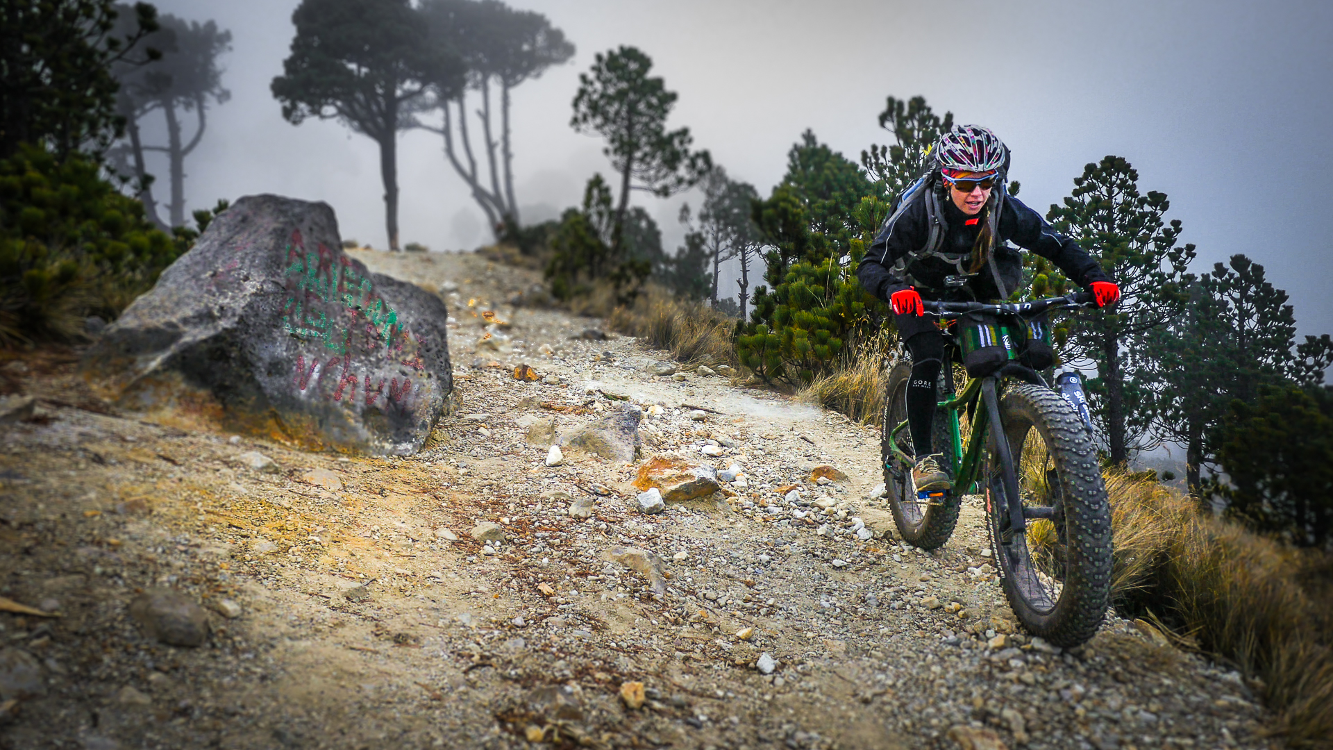
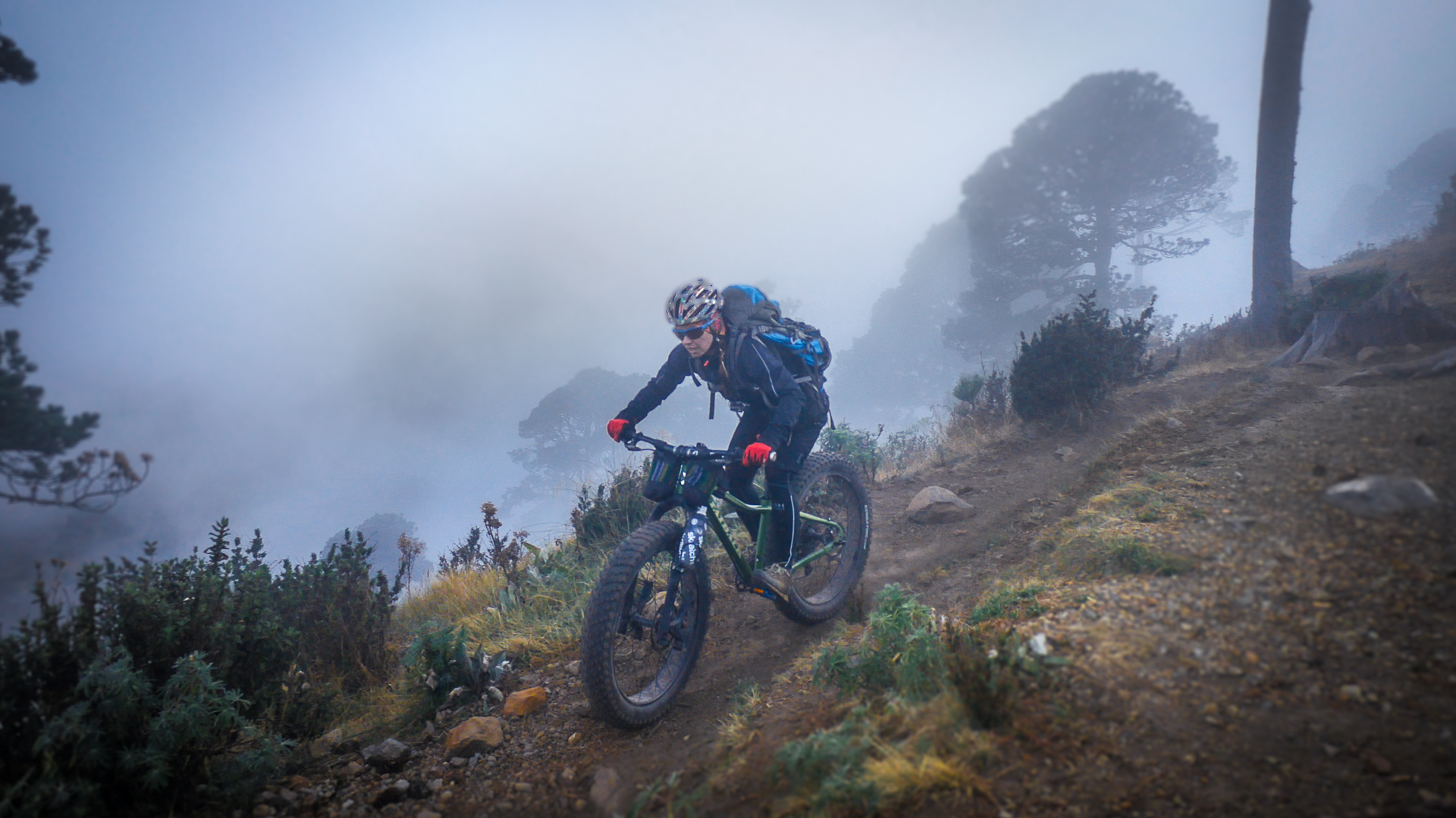
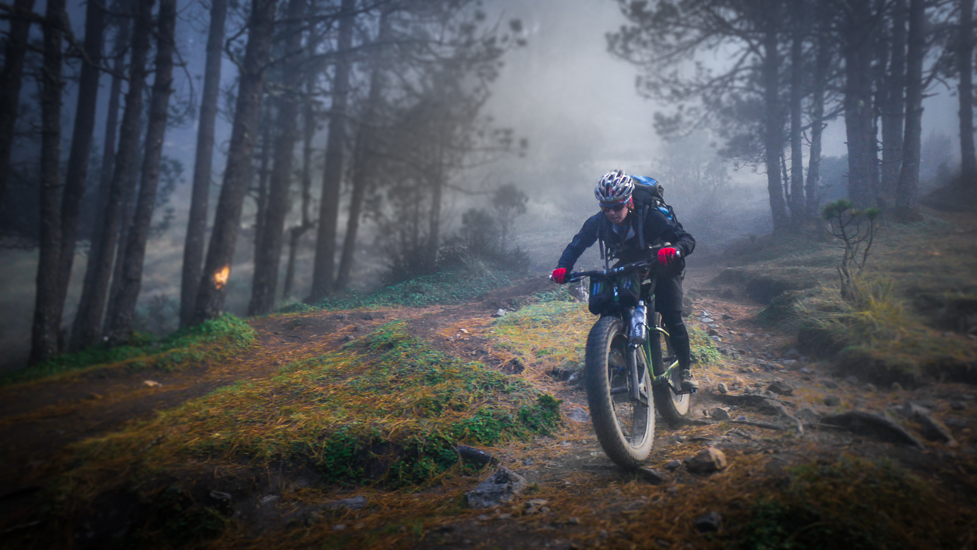
We finally hit a ridgeline, and there was an eerie feeling to the place as we continued up. The fog was otherworldly, almost alive, like a veil of heavy grey algae that we had to swim through. Standing over 100 feet tall, ghostly Araucauria trees slipped in and out of the mist as we trudged past. I looked up at them in awe. I could barely see the tops. I felt like I had gone back in time, walking past these ancient trees I had only seen before in pictures.
A Rebel Stronghold
Finally we reached the base of the summit cone. Just below us in an old steam vent crater stood the remnants of a building: the remains of an old rebel base from the civil war that ended twenty years ago. Tajumulco had been a rebel stronghold, and there are still 500 untriggered land mines lying buried somewhere around the mountain. I shuddered in the fog, silently vowing to stick to the trails on this one. This was not a place to get lost.
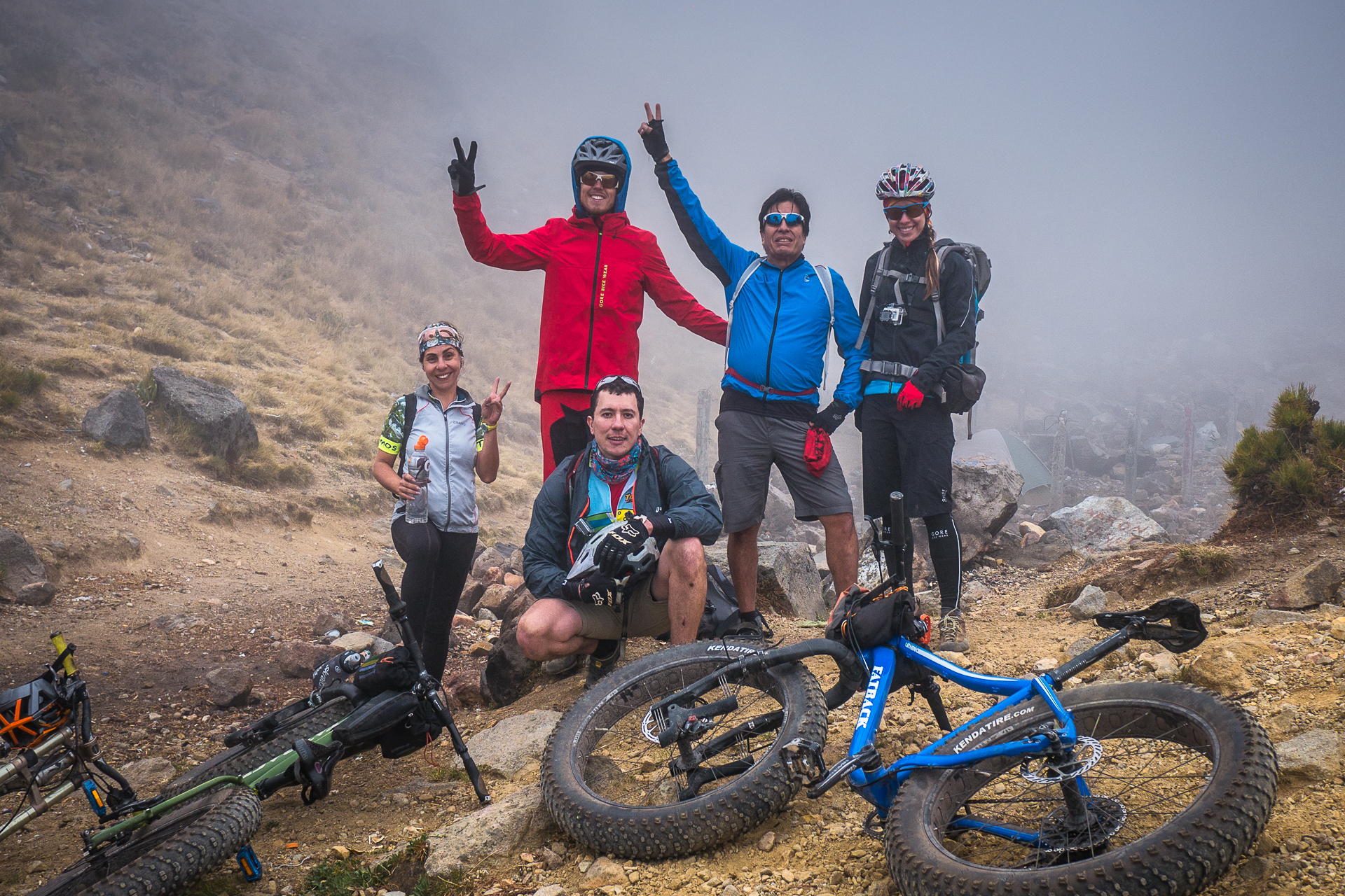
As we huddled close together in the rocks for warmth, our backs against the biting wind, we decided to pull the plug. Brendan was cracked, sick, and the summit was still enshrouded in the milky veil. Our friends flew past us from somewhere above, hooting and hollering as they descended wildly only half in control. We had to laugh, and cheered them on as they charged out of sight. It was the Guatemalan way.
The Golden Hour
Finally, a reward for our efforts.
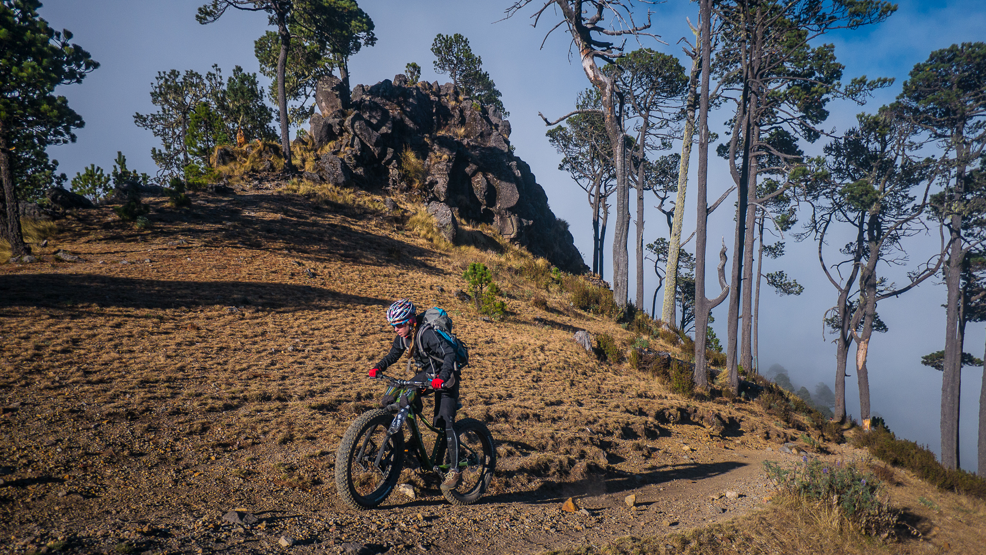
As we slowly made our way down, the fog finally cracked, and we were rewarded for taking our time. A burst of warm golden light filtered through revealing the tops of the ancient Araucaria trees reaching for the sky, and bathing us in warmth.
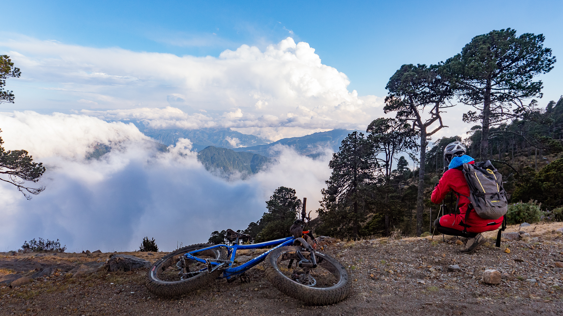
Suddenly we could see where we were: atop a huge ridgeline, with vast, mountainous terrain below stretching all the way to Mexico in the north, Xela in the south, and the Pacific Ocean far on the horizon. The clouds below us ebbed and flowed like waves in the valleys. The struggle was forgotten as we stood in awe of the scene around us.
A network in no-man’s land
In this remote area of northern Guatemala, we were looking down upon a network of human life. Hundreds of tiny roads snaked along ridgelines, dropping precipitously down the canyons with tight switchbacks. The roads connected to countless tiny villages that don’t exist on any map, invisible to most of the world. This was a different sort of wilderness.
Timelapse at 13,000 ft.
Time to go down!
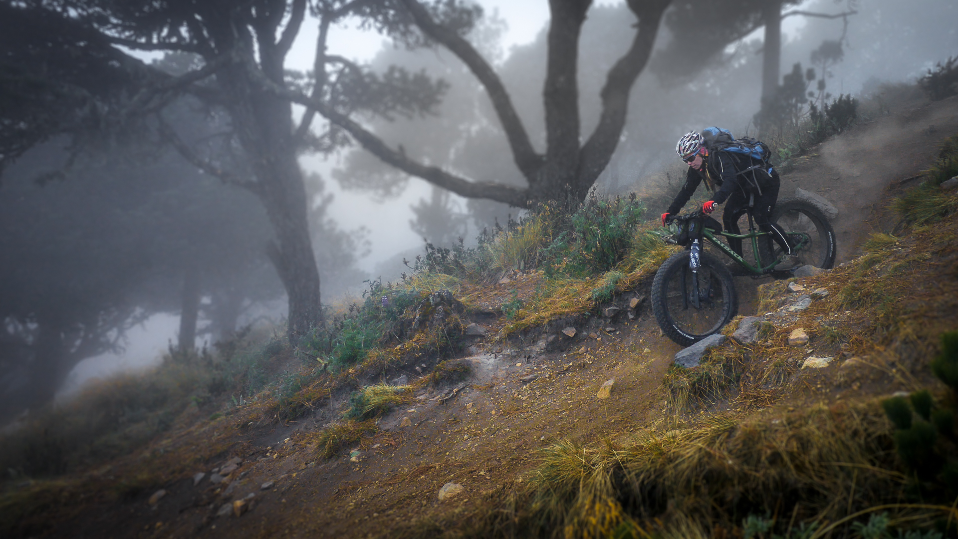
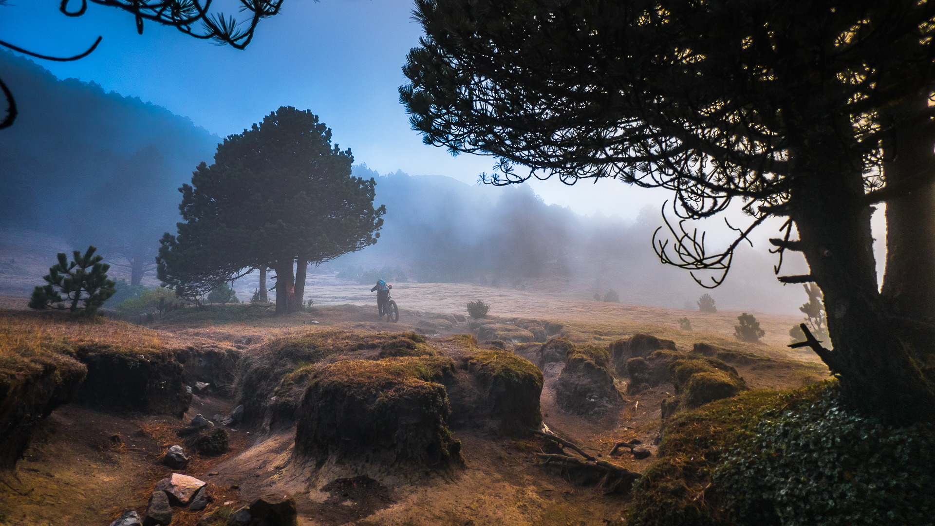
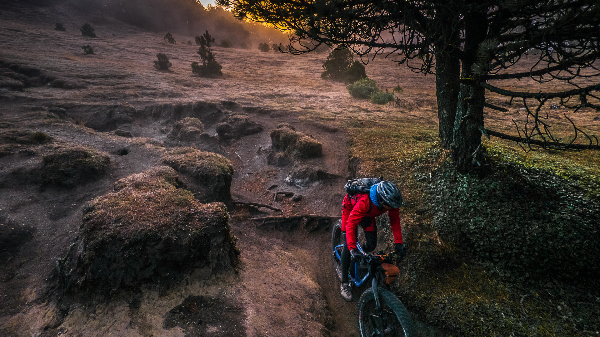
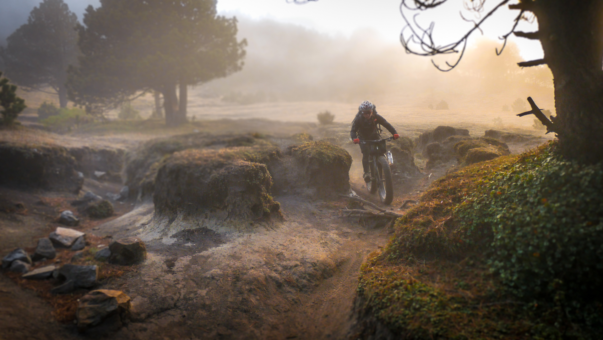
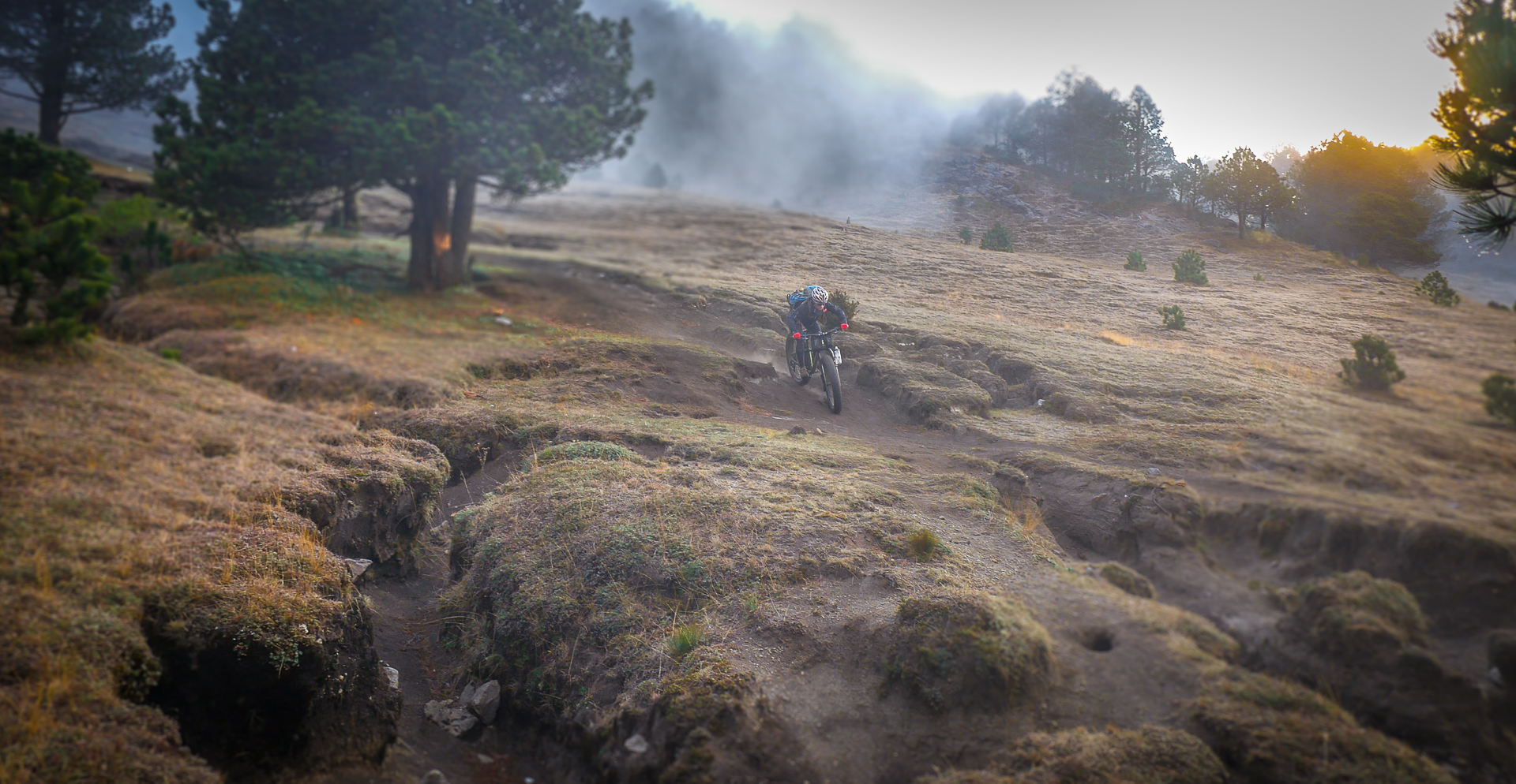
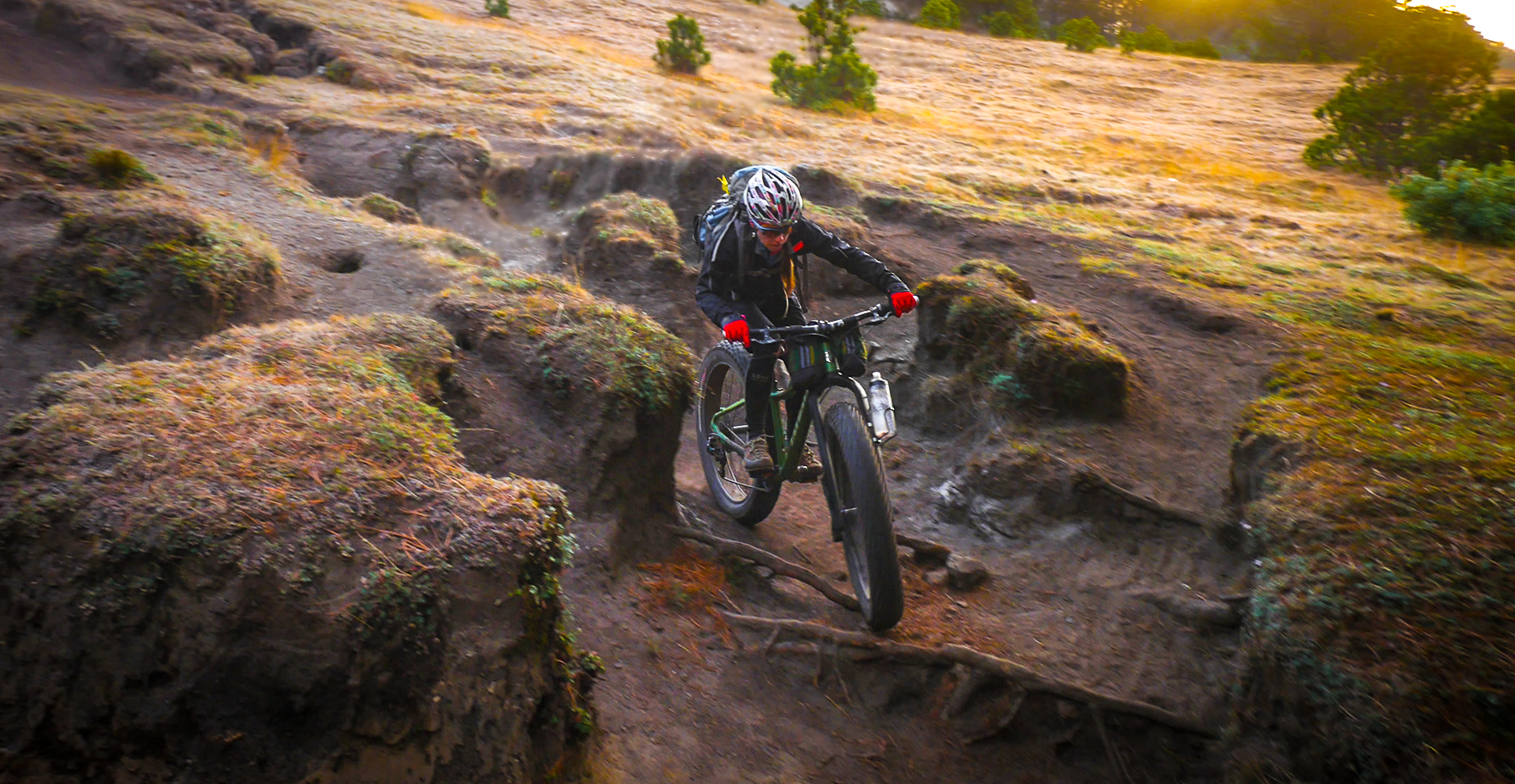
The ride down the flanks of Tajumulco was so fun it should be illegal. The trails were carved deeply into the soil like tiny canyons, changing quickly from shallow to handlebar high and back again, snaking through the trees and popping out into green meadows where the golden light and swirling fog danced around like some sort of trippy dream. Darkness came quickly as we re-entered the dark forest. A drizzly rain started to fall, making the roots, rocks and steep dropoffs tricky to negotiate.
Nighted
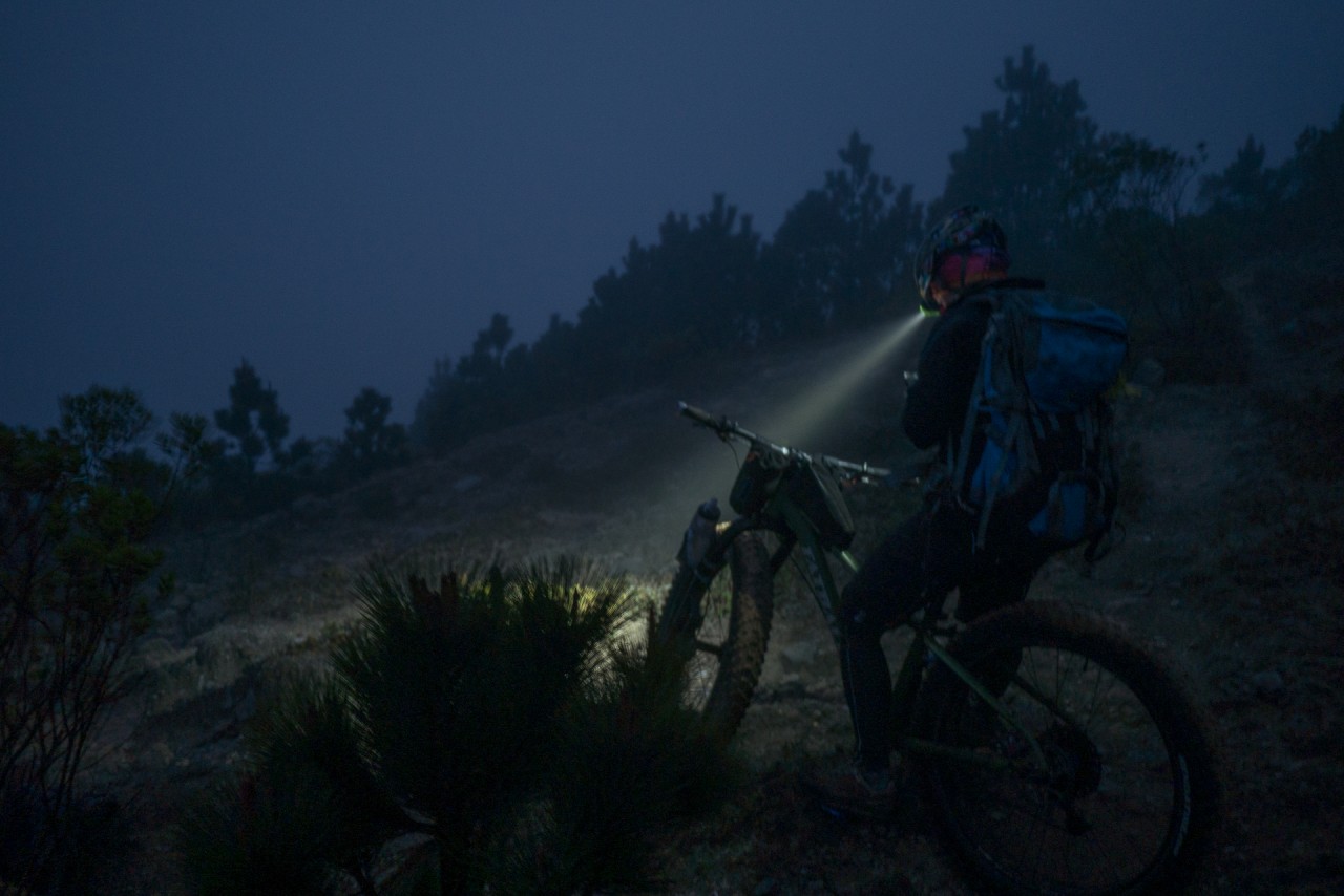
We donned lights and pulled out the GPS. We had not tracked our ascent route as we needed to ration batteries for the week. Looking at the topo, we knew we were headed in the right direction, but trails were snaking everywhere. Routefinding went from difficult to impossible. Slowly we continued on, being careful to stay on the ridgeline and not drop off into the canyons. Though neither of us said it, thoughts of untriggered landmines were in the back of both our minds.
Suddenly, we saw lights off to our right. Was it a house? Maybe the one we were camped at? We stopped, contemplating. Then, flashlights pointed at us. Maybe it was our friends searching for us! We started moving towards them. As we got closer, we realized it was not our friends, but four soldiers from the Guatemalan army, complete with night vision goggles and assault rifles.
We are definitely in their territory: a shine of their lights behind them reveals a large military base, obviously built to ensure the guerrilla forces that had Tajumulco as a stronghold during the war don’t come back. Brendan and I look at each other, silently thankful we can communicate in Spanish as we explain our harmless intent. The soldiers point us the right way towards our camp and we ride into the night.
When we reached camp, our friends were overjoyed to see us. They had been worried. Sergio and Oscar had been out searching for us twice, and also for Pichi who had gotten onto the wrong trail and was lost alone for two hours in the dark. Somehow, she said, she had ended up two valleys over. She had just returned, exhausted.
Oscar was cooking dinner and tea, and we gladly contributed our share. The hot meal warmed us from the inside, and we crawled into our tent as the dust swirled and the wind howled around us, reminding us we were at 11,000ft. I was asleep before my head hit the pillow.
“Extreme” – go figure
Moving On
In the morning Brendan still felt weak, but his nausea was gone. We decided to ride north to Volcan Tacana as planned. We felt deflated by falling short on Santiaguito and now Tajumulco. We wondered aloud if we had bitten off more than we could chew, and if our goal was even possible.
Sergio, no stranger to these pursuits, has one piece of advice for us as he bids us farewell: “Con tiempo, todo se puede:” With time, all can be done.
Leave a Reply
You must be logged in to post a comment.