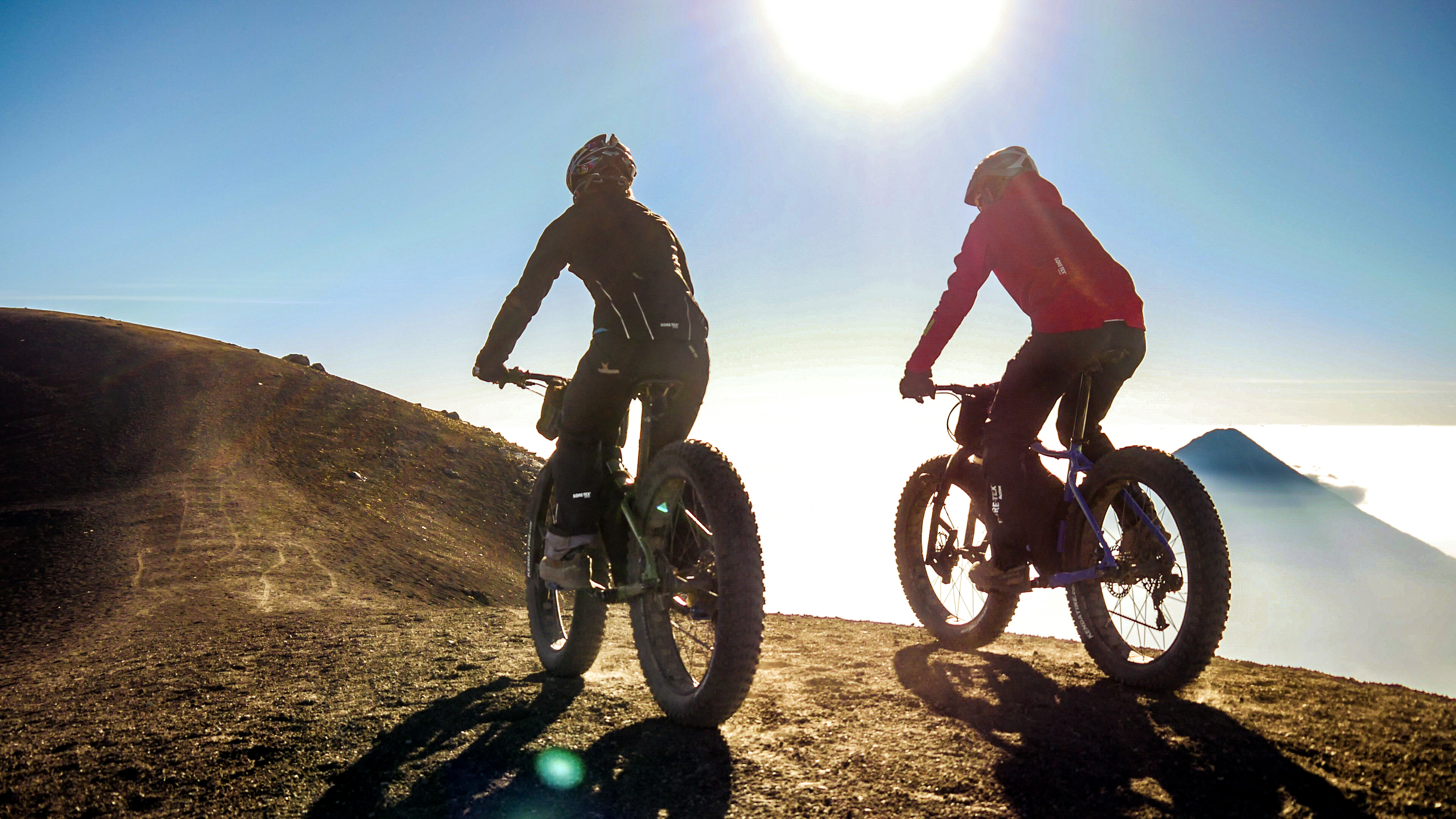
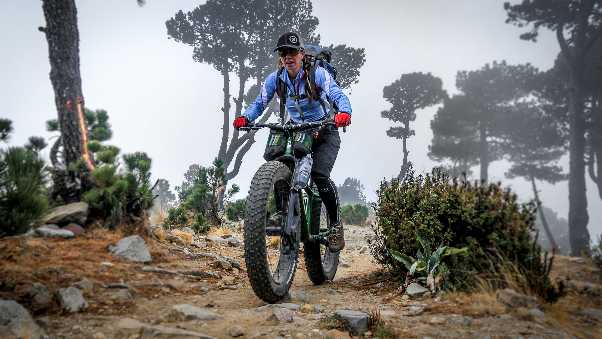
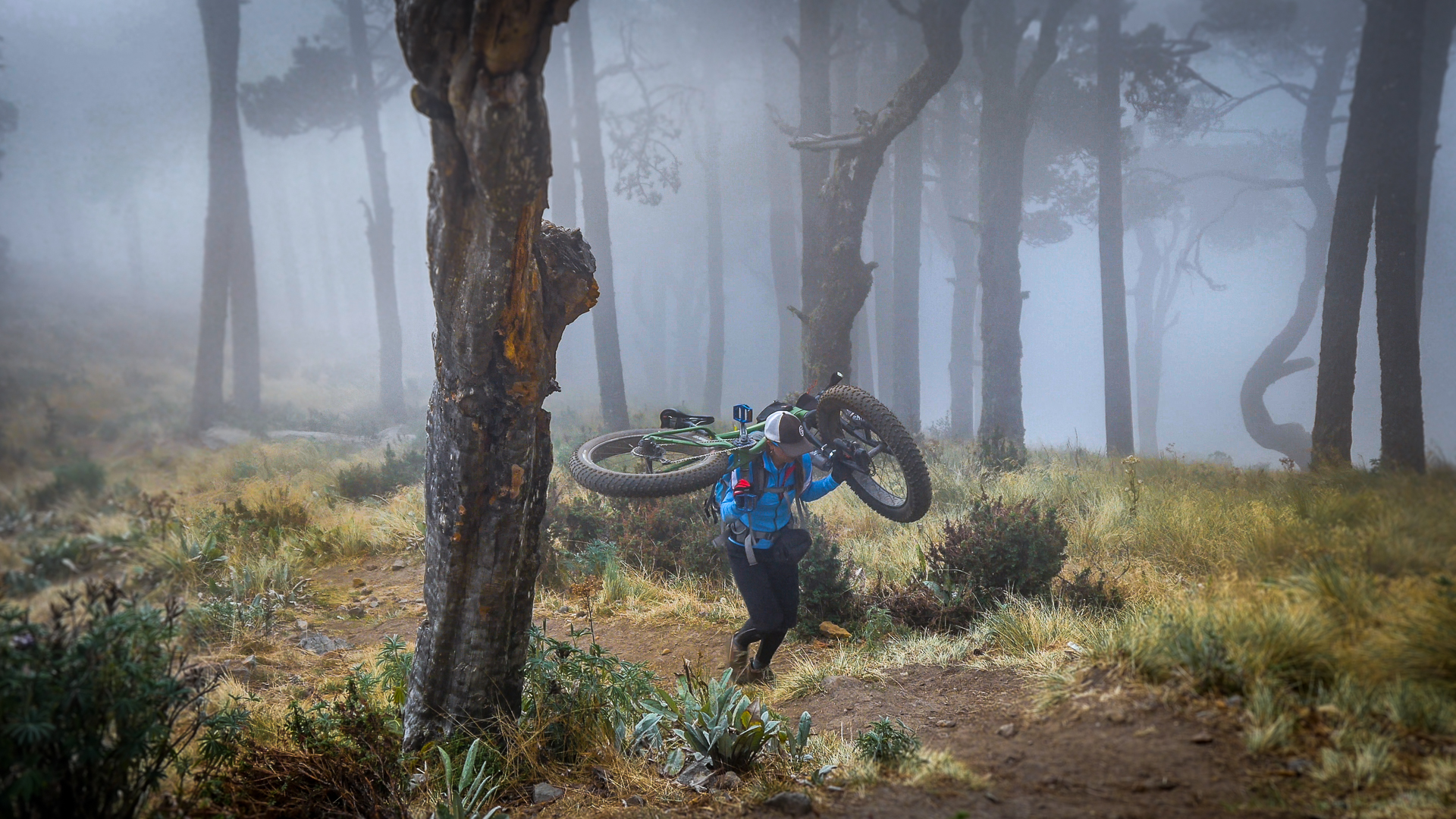
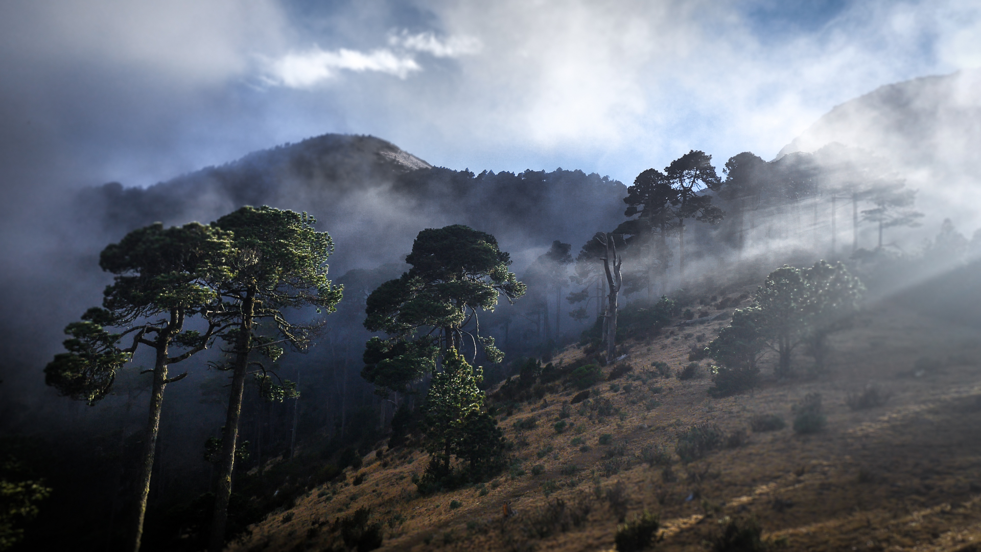
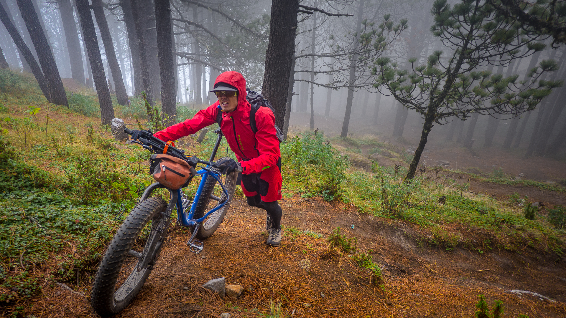
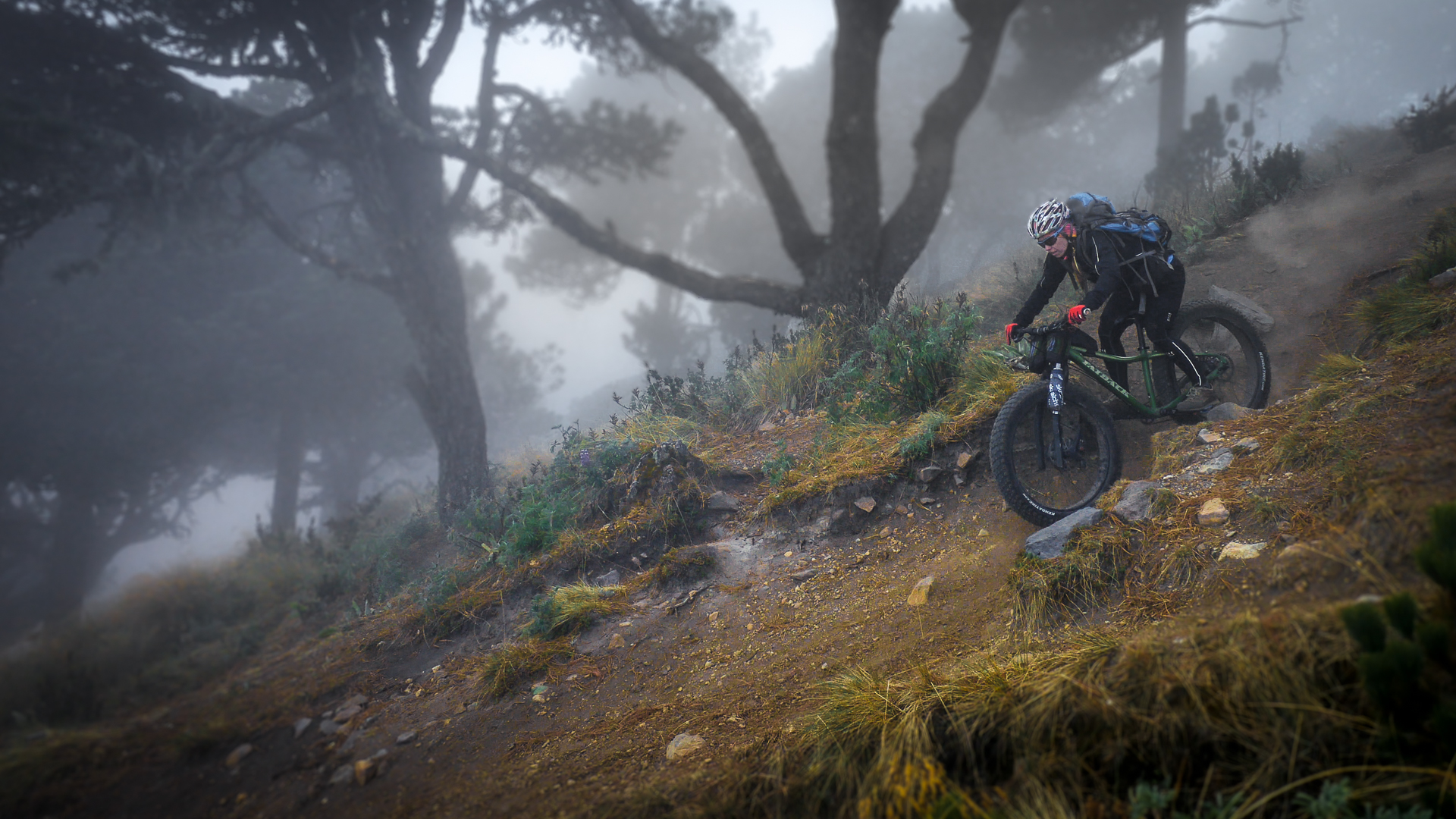
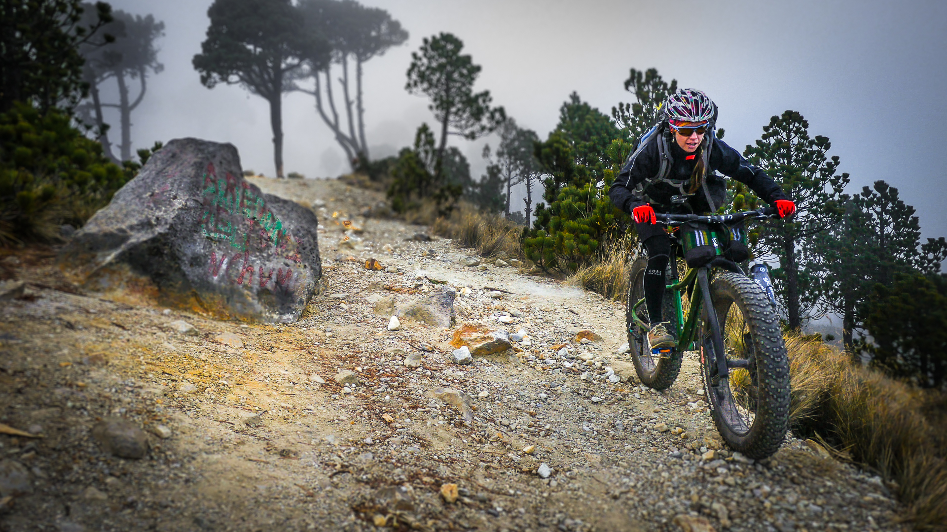
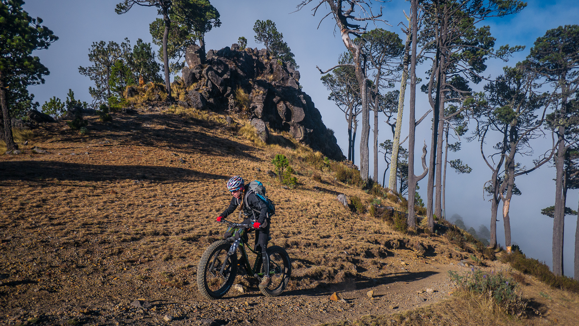
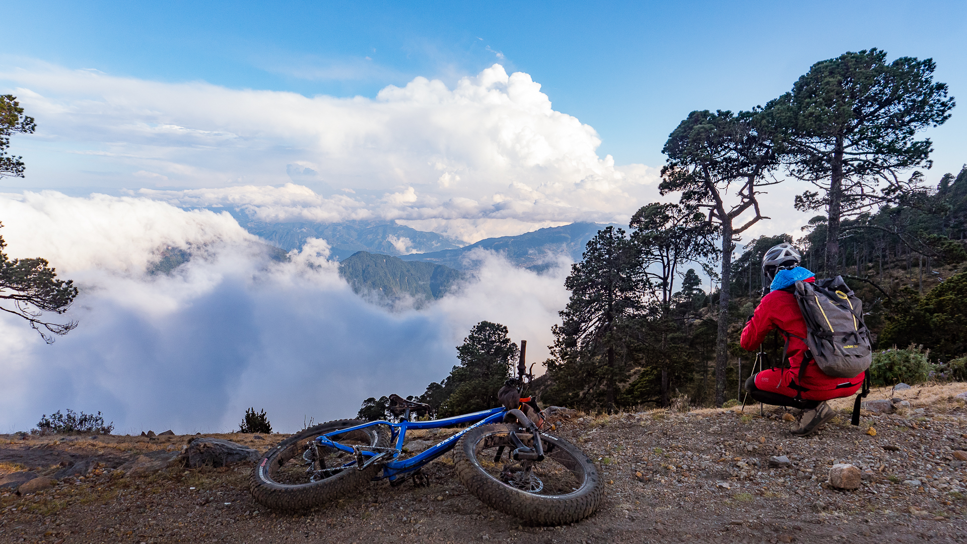
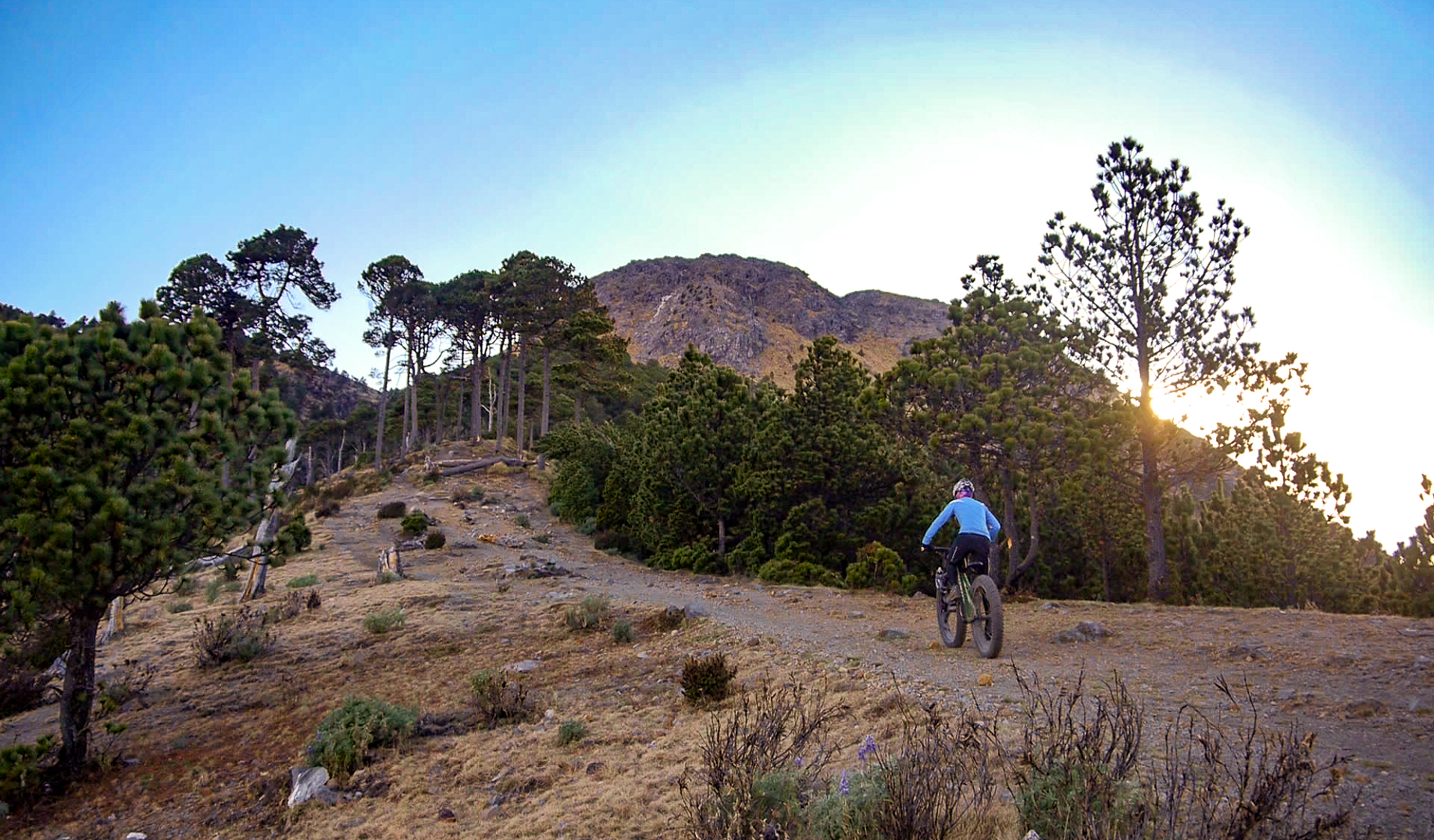
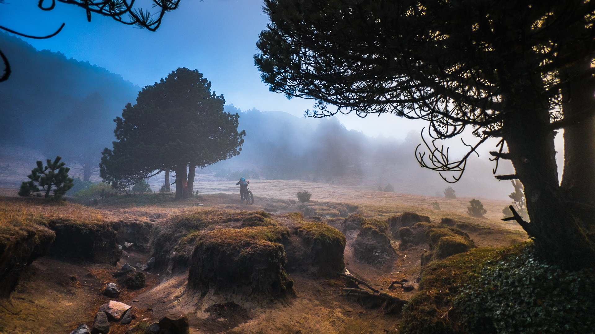
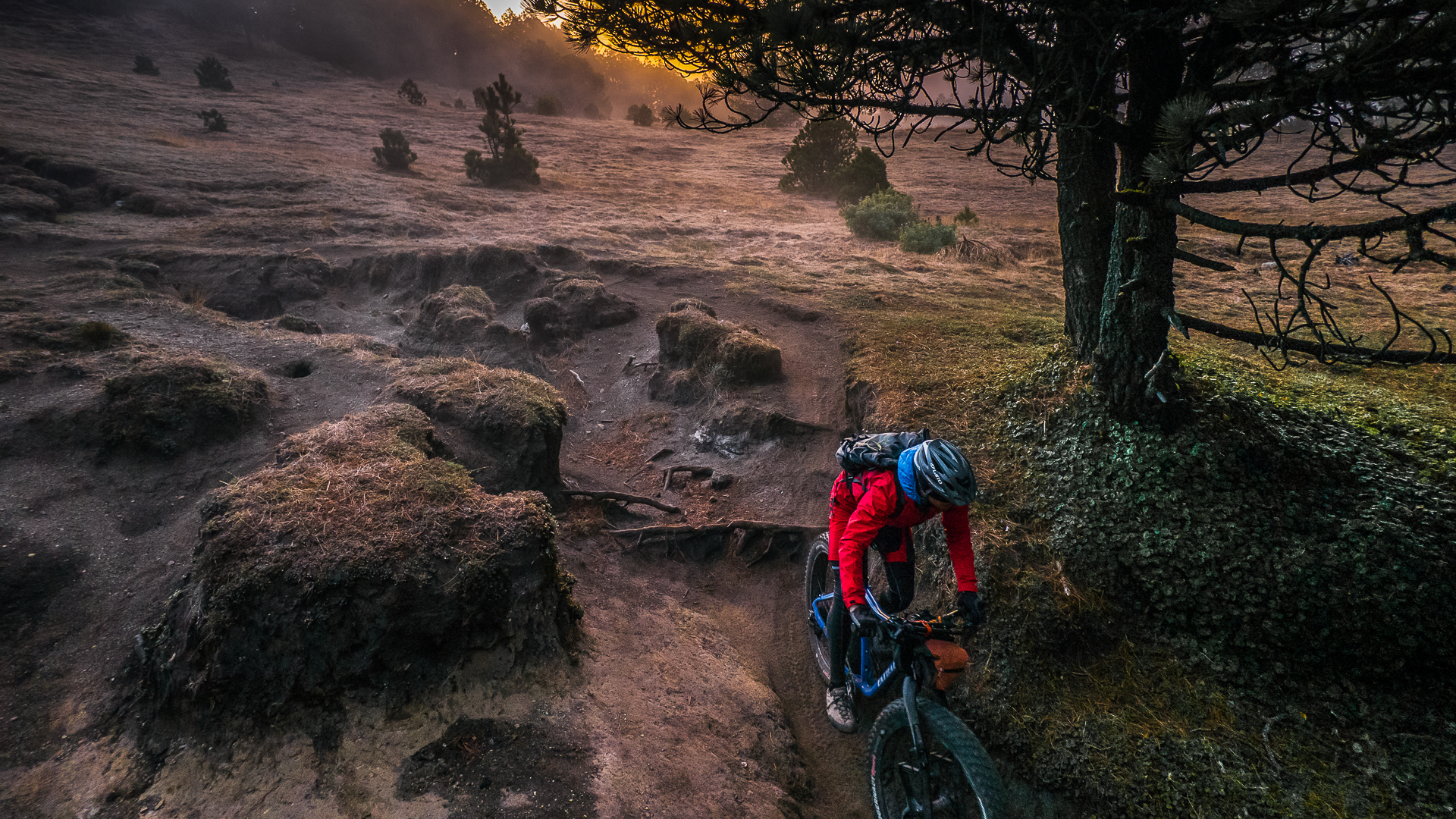
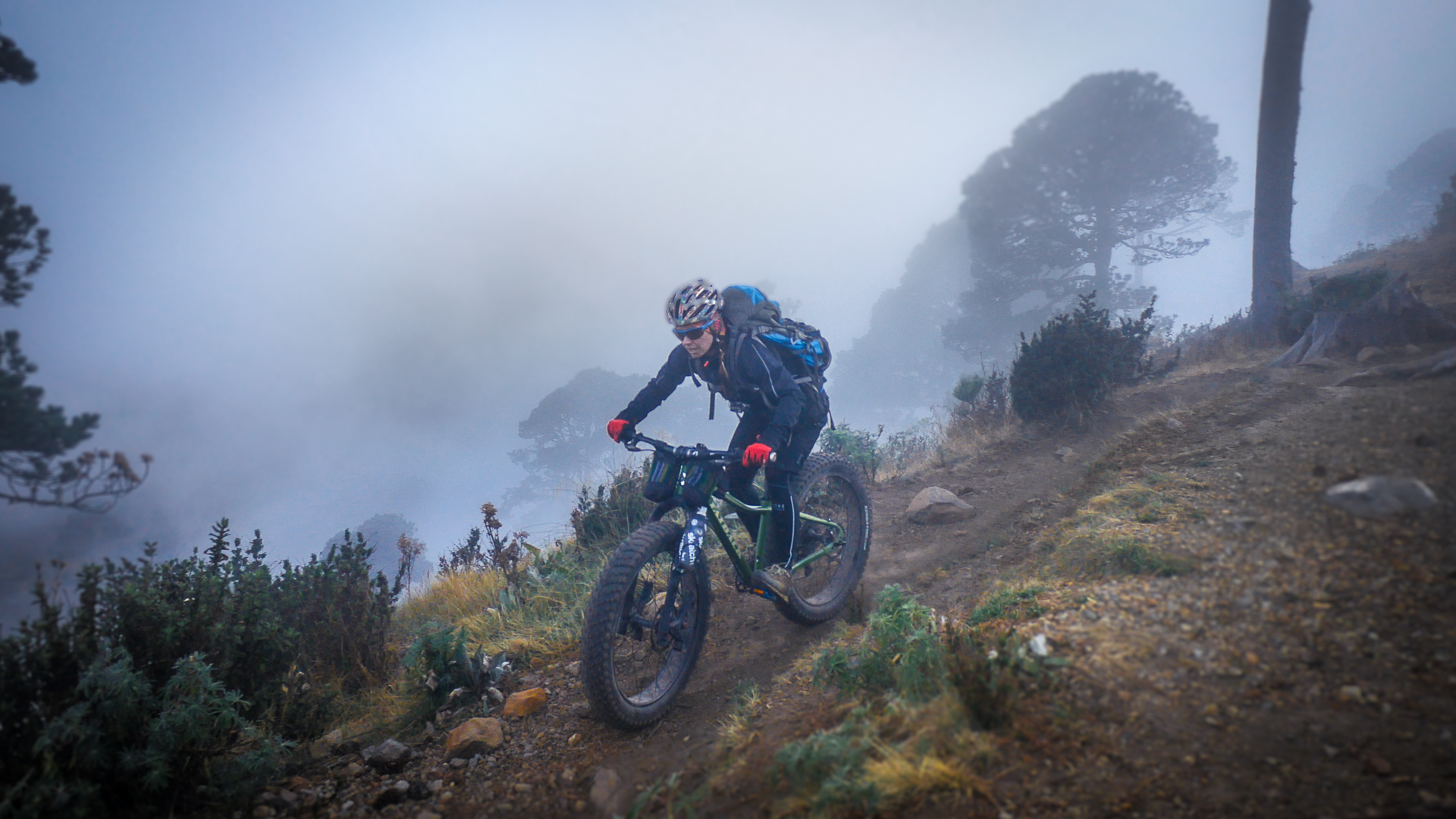
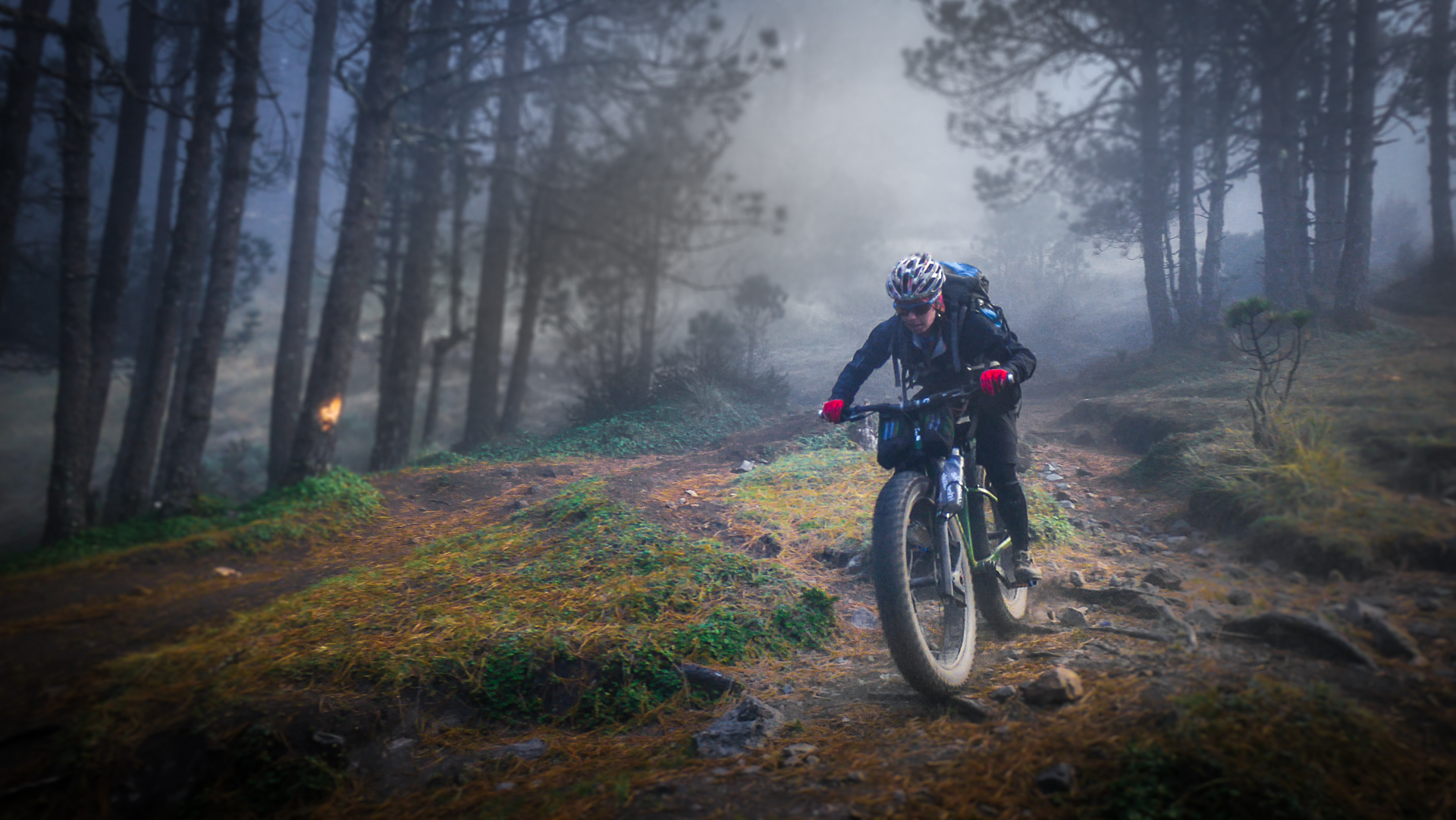
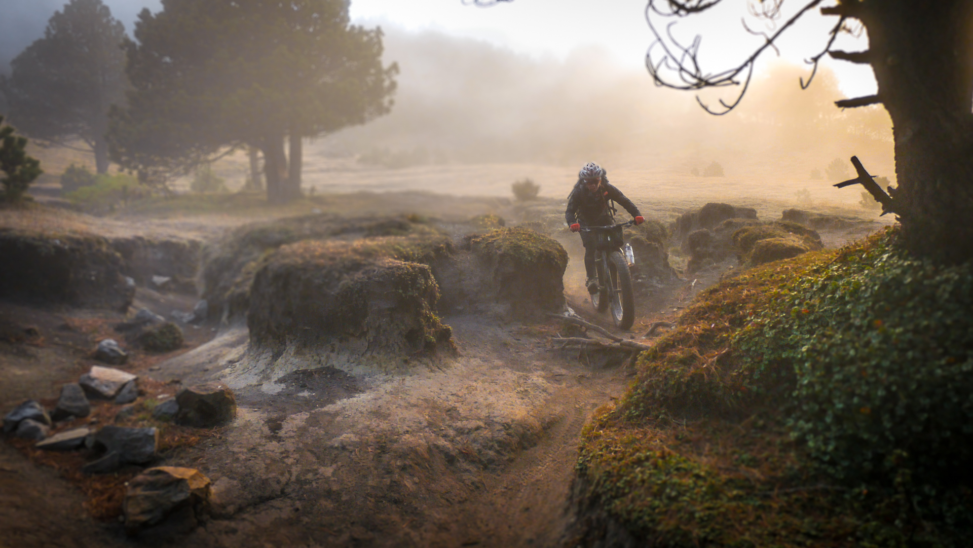
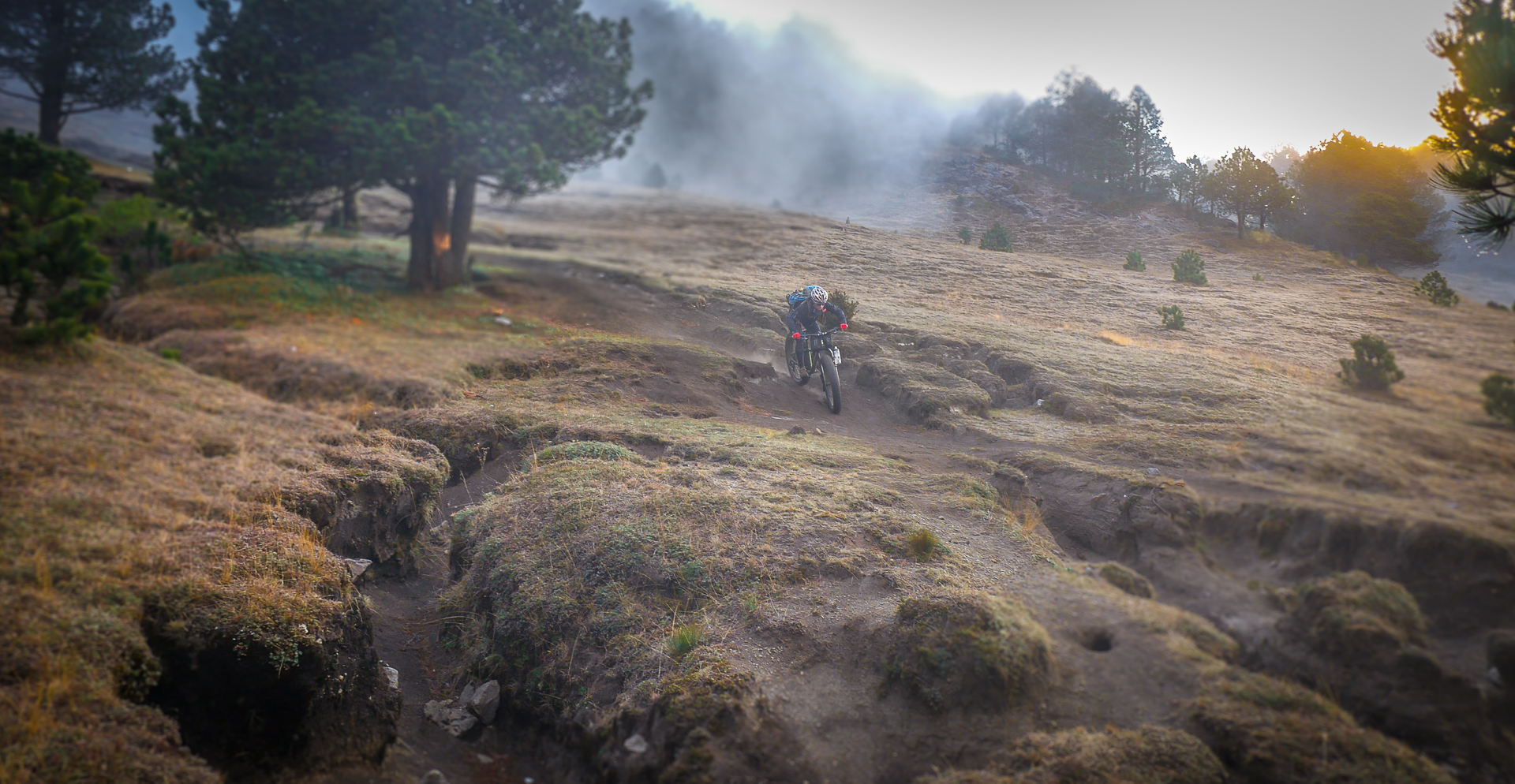
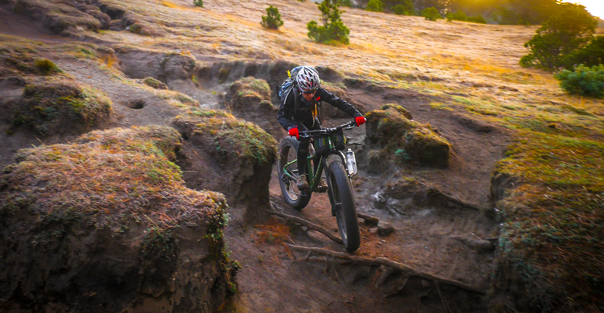
Taking fatbikes where they have never been before – and with good reason!
Category: Volcanarchy 2016
Santiaguito – Fatbiking on an Active Volcano
Baptism by fire. Our first objective of the trip would be our hardest
Volcanarchy – Gear
Fatbikes and other gear we used on the Volcanarchy Expedition
Acatenango
The final attempt
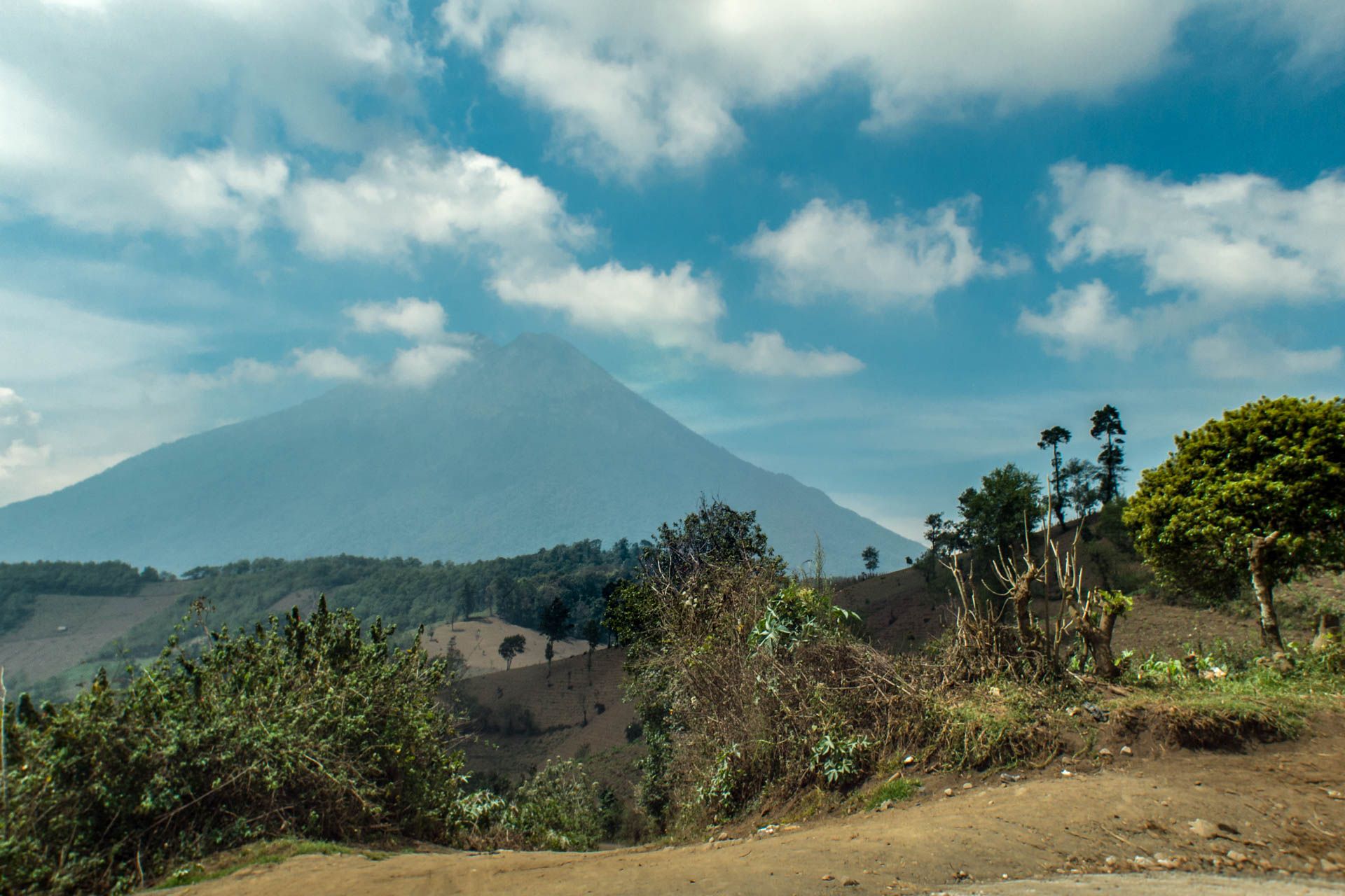
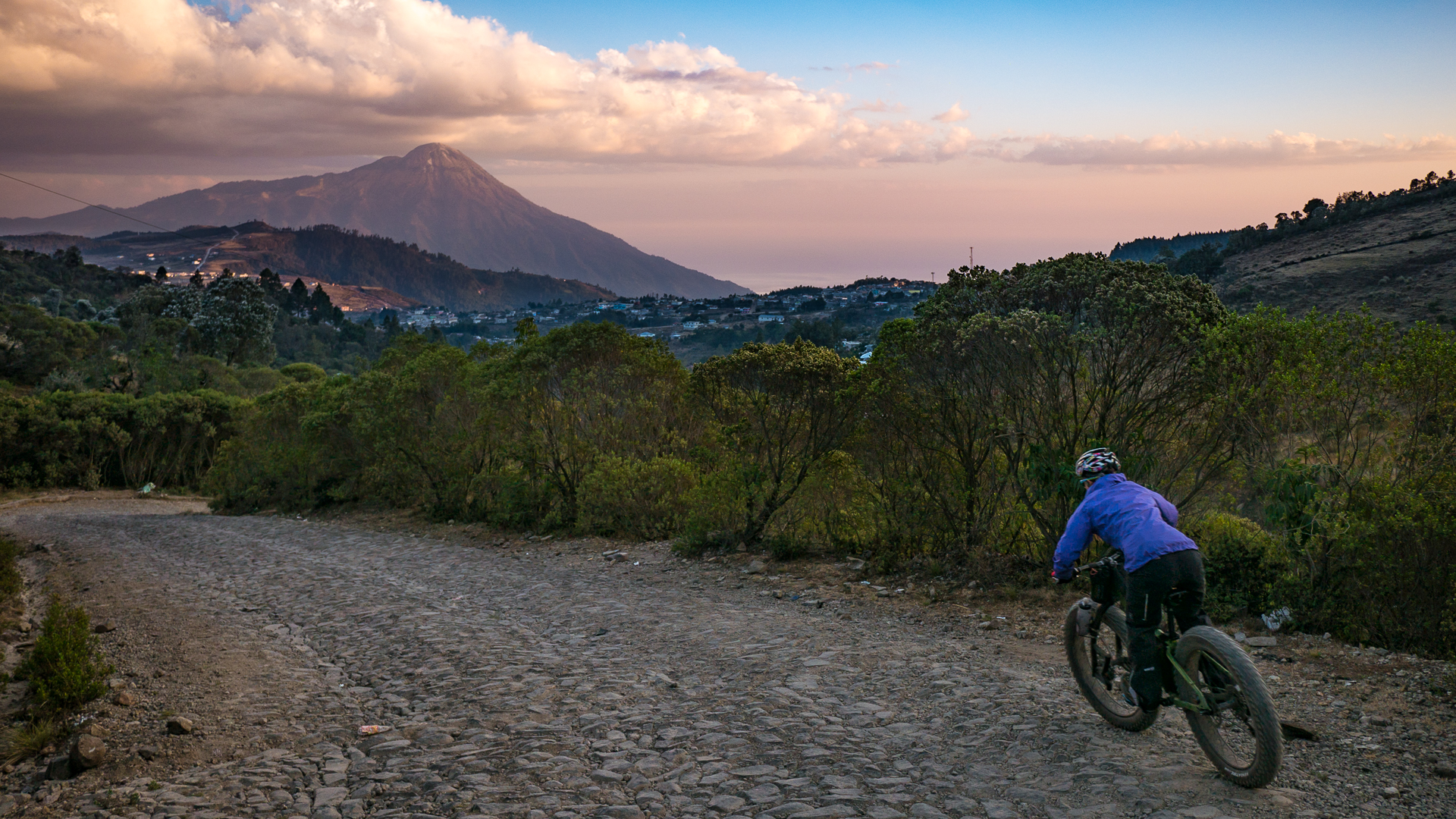
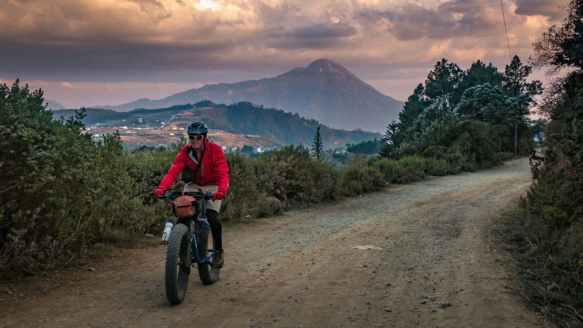
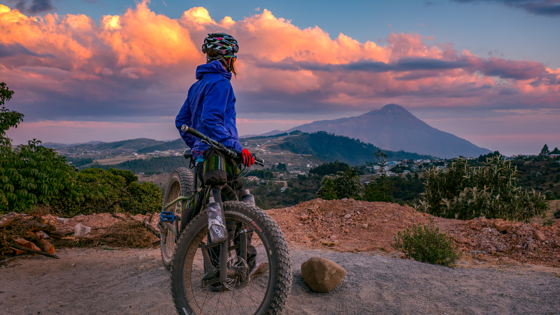
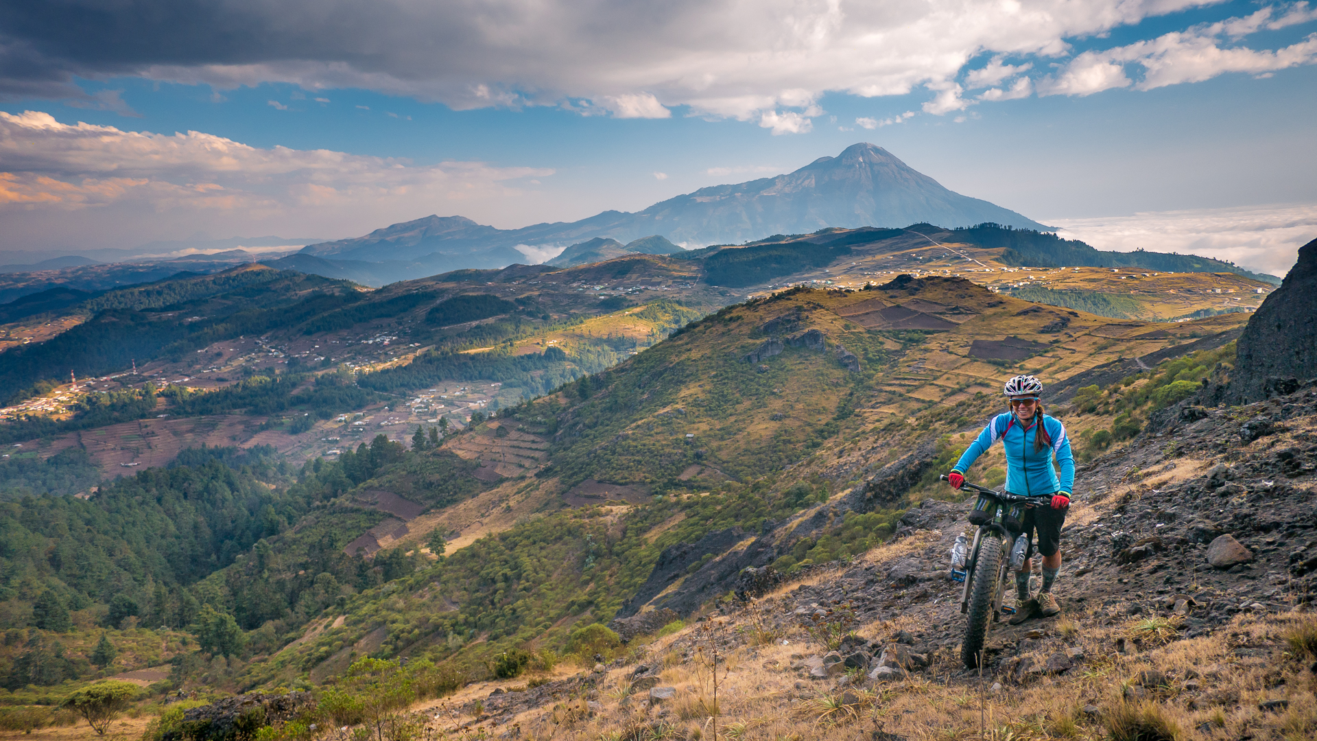
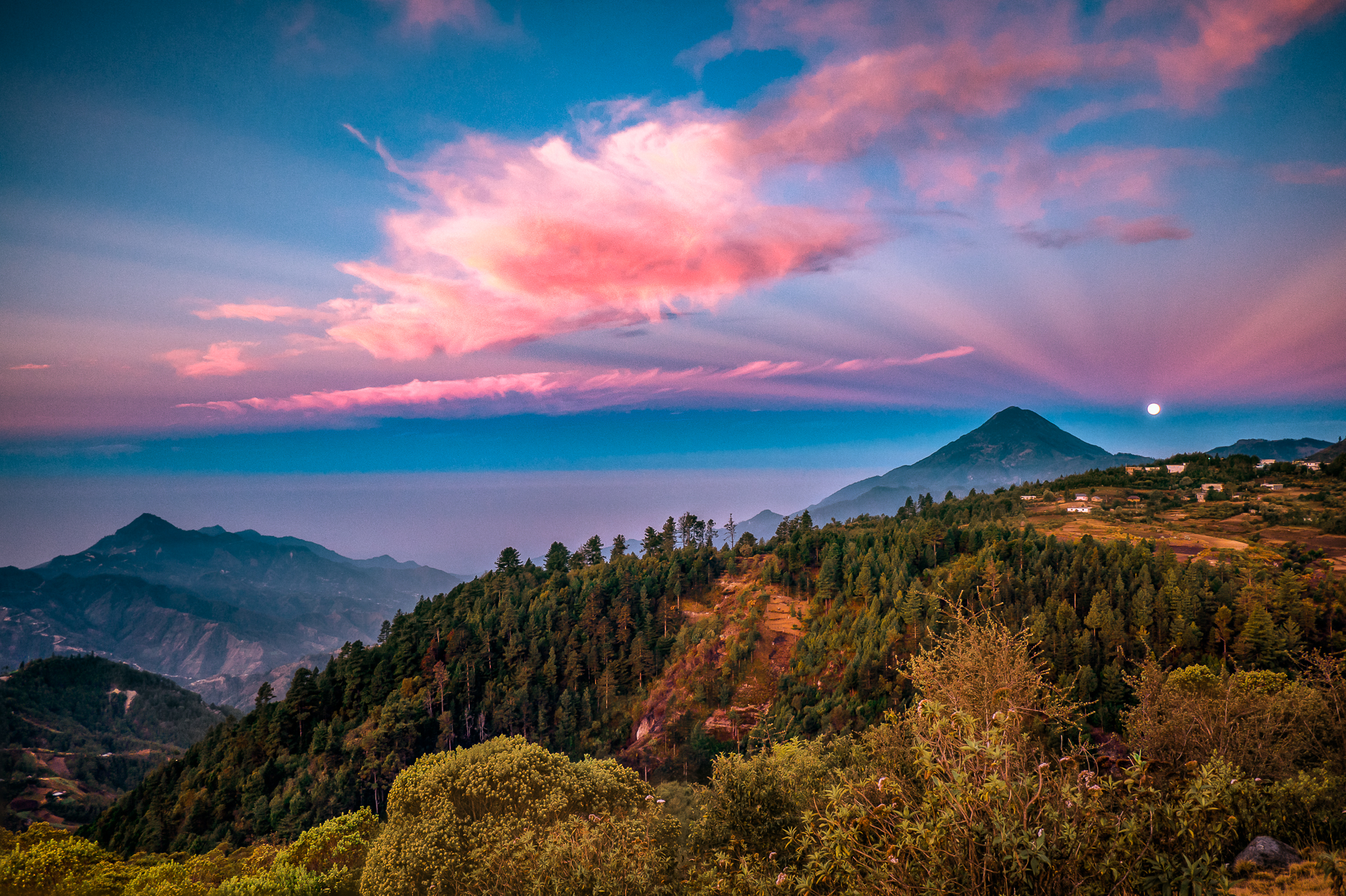
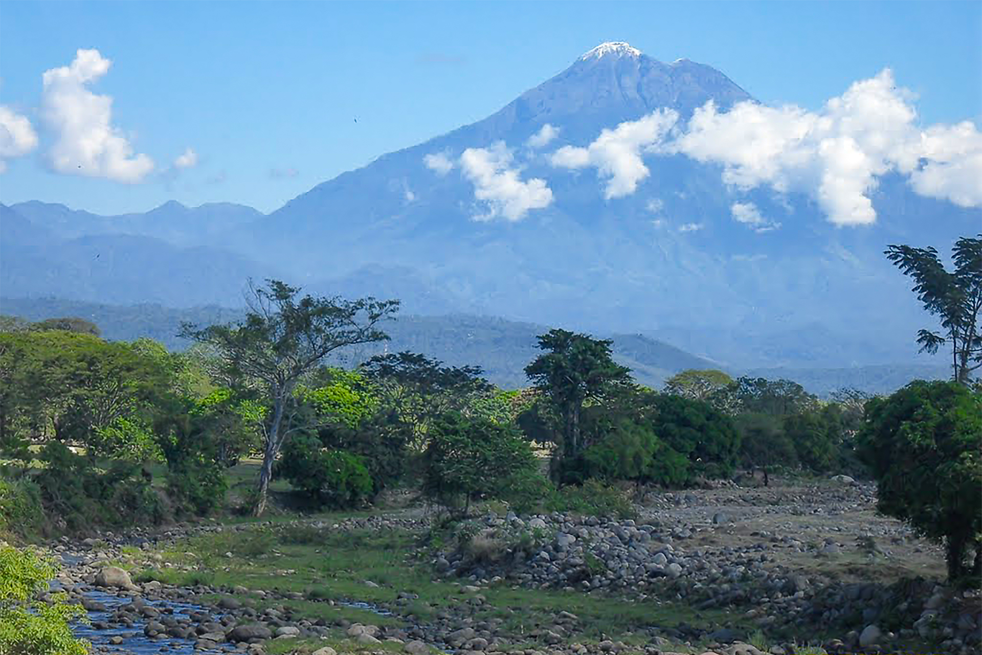
Volcán Acatenango (3,976m) from the east. It’s dual summit cones towering above the nearby pueblo of Parramos
Volcán Acatenango (3,976m)
Acatenango is the tallest volcano you can see from the cultural and tourist center of Antigua below. Antigua is ringed by three volcanoes: Agua to the ?? and Acatenango and Fuego to the ??. Volcan Fuego is one of seven (??) volcanoes in Guatemala that is currently active. It erupts several times a day. It shares a saddle with Acatenango, and therefore Acatenango’s summit is the closest you can get to an active volcano in Guatemala.
One last chance...
After the strain and sickness we suffered from our time spent in the North, we took a few days at home in Panajachel to recover. But we couldn’t wait long- I had a flight out to the US in a week. It was time for me to return to North America for my racing season.
To be completely honest, neither Brendan nor I were very excited about this last expedition. We were tired and weak. Both of us were malnourished, the strain of sickness had gotten to both our heads and we were afraid that anything we ate could set it off again. So we struggled with trying to fuel enough to improve our strength, and eating as little as possible to prevent getting sick again. If one of us got sick again, it was all over.
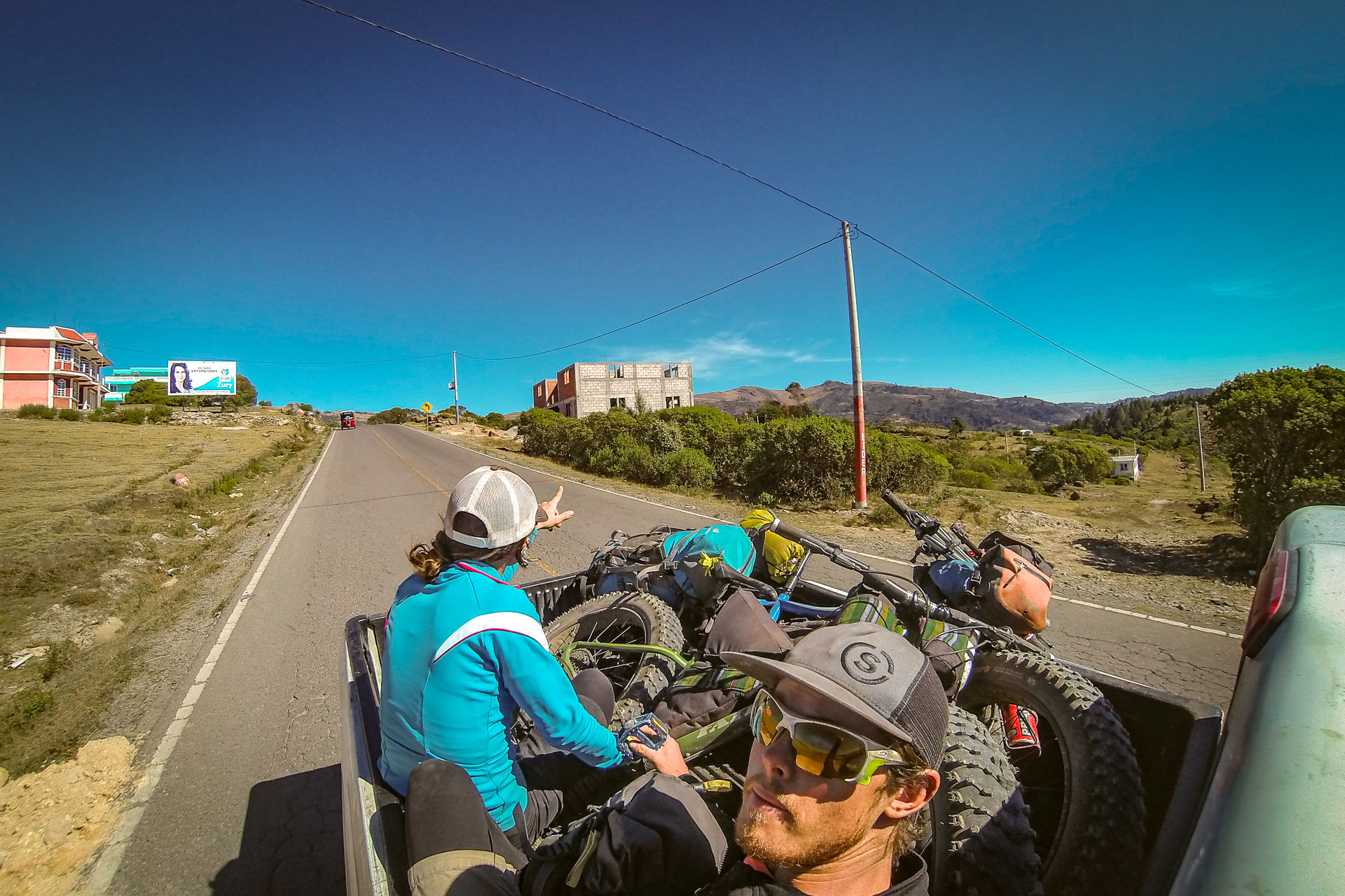
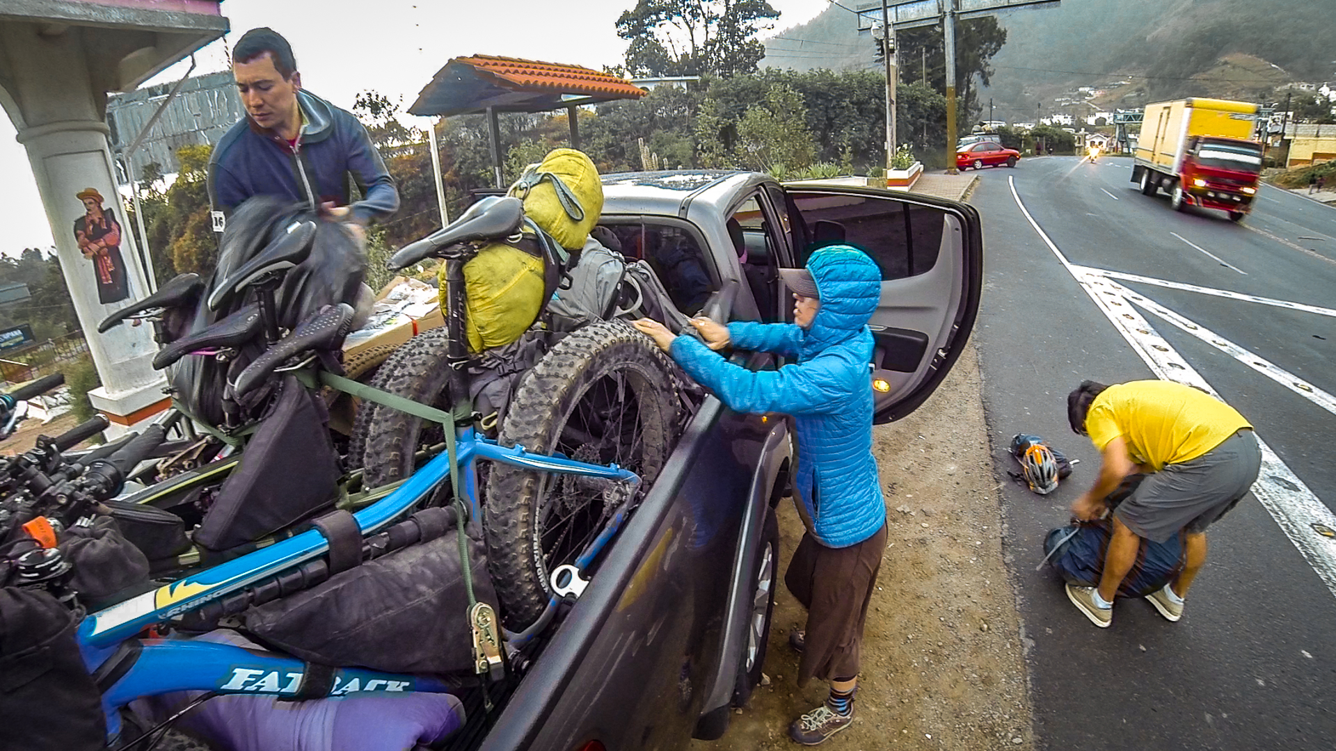
We had arranged to stay with our friend Jordan in Chimaltenango, the city closest to Acatenango. From there, it would be a couple hours bike ride plus hopefully a hitch in a pickup to the base of the volcano, where we would start our climb.
We ditched as much weight as we could: anything not essential would stay behind. Still, because of the necessary food and water, we were both carrying around 70 pounds. We packed strategically: as much weight on the bikes as possible for the pedal up, easily transferrable to our empty backpacks to begin the hike. I wasn’t going to mess around with pushing- I was going to strap my bike directly to my pack as soon as it got steep. A summit push despite any odds was very much on both our minds. This was our last chance.
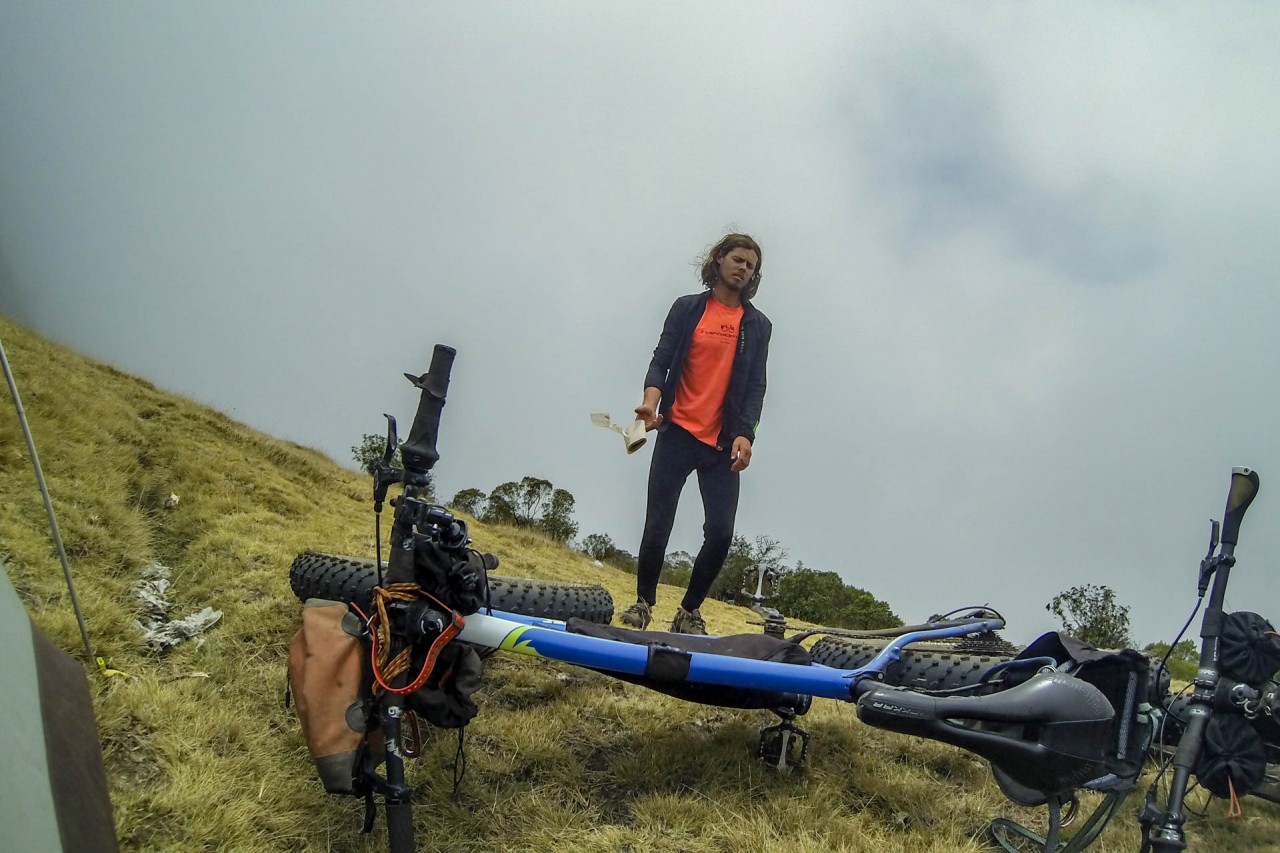
Preparing, fighting a battle with doubt. Could we do it?
Custom Heading
Our Last Chance
I awoke with a start before the alarm. I was a bundle of nerves. I hadn’t been this anxious since my early days of bike racing. I knew today was going to hurt. Could I do it? Could WE do it? Brendan had been sick for weeks now, and although he was one of the toughest people I knew, everybody has their limits.
And as for me, the nagging question in my head: am I physically strong enough? This load, 70 pounds, was WELL over half my bodyweight. We had both lost significant weight from sickness. Could I physically carry the load? The entire expedition I had been adamant about carrying my full load, including my share of the group gear. I had not invited Brendan on this trip so he could carry all of the weight.
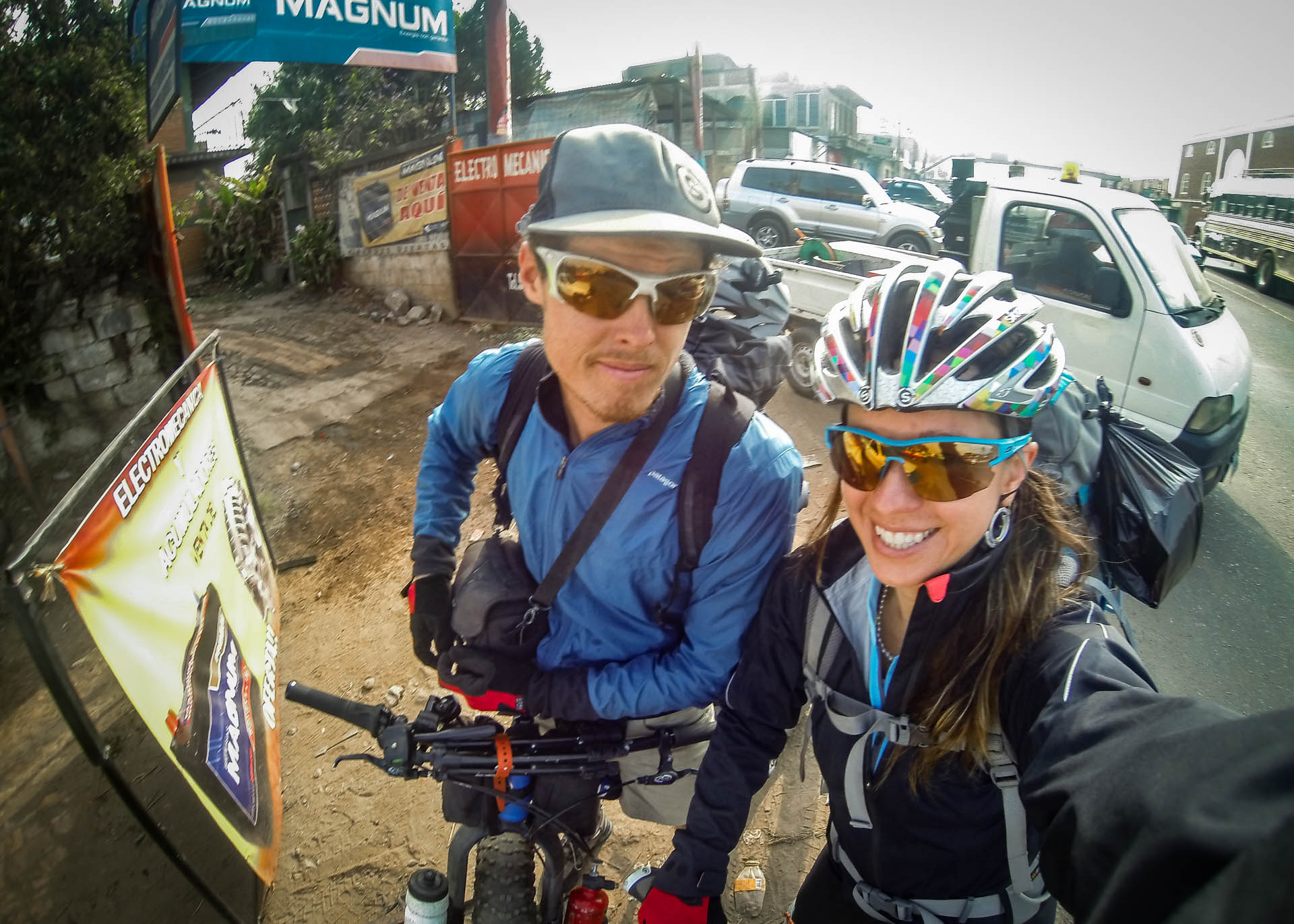
As a small woman, to be taken seriously as an athlete I must insist on being an equal partner and this was not the time to stop. I had to push away the doubt and replace it with a mantra: I will not fail. Never, never, never give up. With this in mind, I followed Brendan out of Jordan’s house, got on my loaded bike, and started pedaling through Chimaltenango rush hour traffic towards the looming volcano.
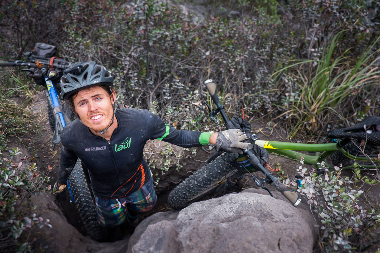
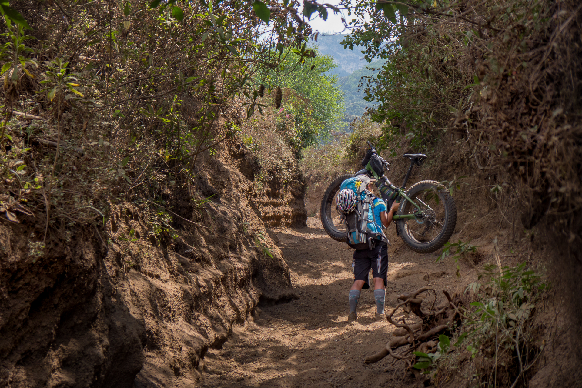
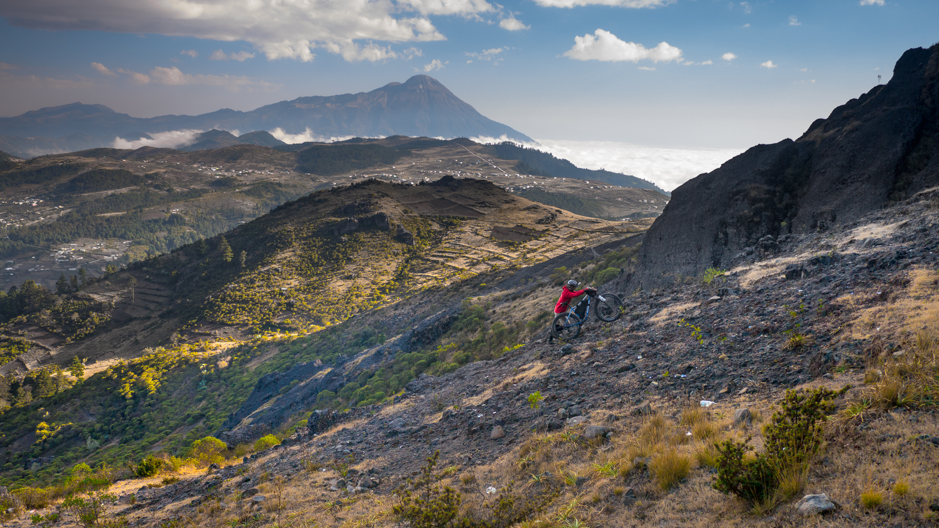
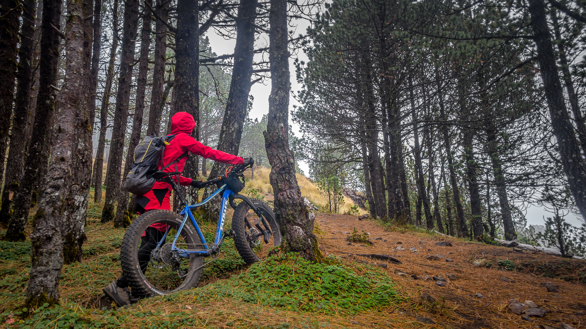
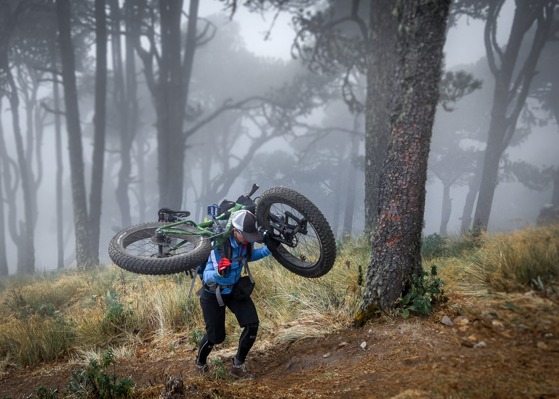
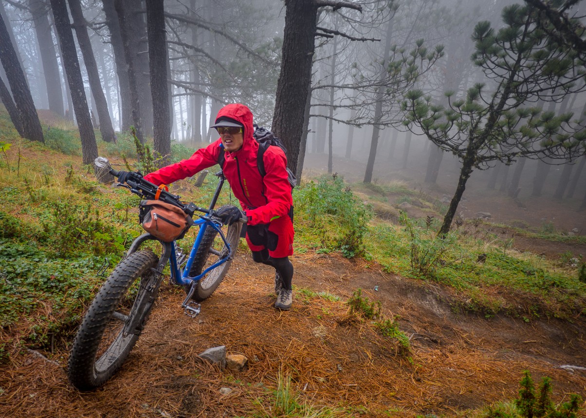
At the base of the trail, I immediately strapped my bike to my backpack. I have learned that while Brendan is able to make good time pushing his bike uphill, it is better for me to carry. All the weight above me just pushes me backwards. I find myself having to turn sideways often to work my way through the underbrush, but I am actually making progress.
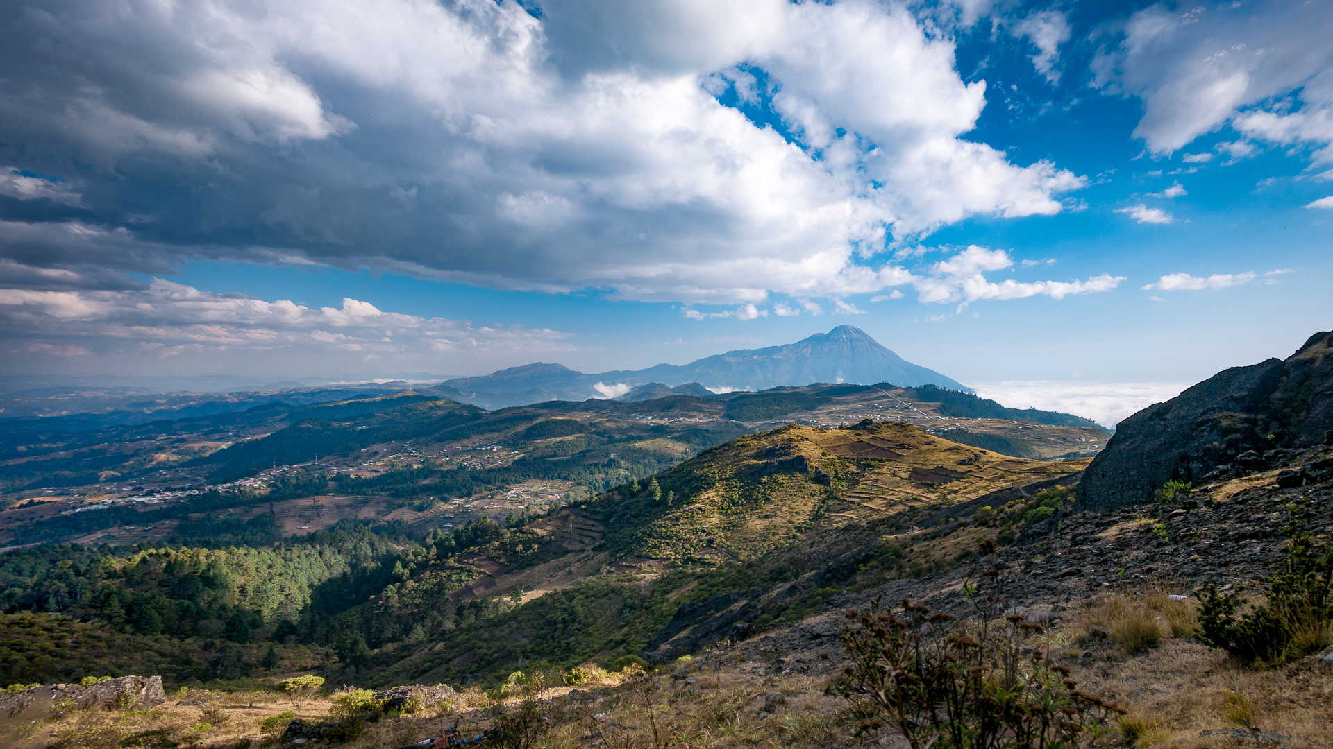
View from the flanks of Volcan Acatenango, Guatemala’s highest volcano in a chain along the Sierra Madre de Chiapas
A guide's mountain
Acatenango is a guide’s mountain. Outfits from Antigua contract with local guides from the village at the base of the mountain who are members of a guide’s coalition to ensure they all get work. Tourists are shuttled up from Antigua by the busload, for day trips and camping.
Soon a Mayan guía catches up with me as he brings a straggling tourist up to his group. Tomás is 40 years old, and has been guiding the mountain three times a week for the past 20 years. He sees people going up with bikes occasionally, but never bikes and camping gear to the summit. He smiles at my awkward pack, but his smile is one of knowing, not doubting. He is no stranger to heavy loads.
Volcán Fuego is a close neighbor of Acatenango, and is the most active volcano in Guatemala. It was the first natural wonder of the country that I had witnessed from far down in the valley when I arrived in Guatemala exactly a year earlier for the race. Its explosive energy drew me in, and it had become a dream of mine to experience it up close.
But I knew what was ahead: a steep couloir full of volcanic rubble where it would again be one step forward, three feet back. And the final barrier to the crater was a technical rock scramble with complicated routefinding. No problem, in the daylight without 70 pounds on our backs.
Fueled by willpower
Four hours pass quickly, then six. Brendan and I try to take in as much food as possible in attempt to regain strength from our sickness, but we are depleted and not moving as quickly as we’d like.
Still, I am surprised at how strong I am feeling, despite the 70 pounds I am awkwardly carrying. I am fueled by willpower to complete an objective and the dream I have of sleeping on top of a 13,000 foot volcano next to an active volcano.
Committed to the struggle
[/css_animation]It took us six hours to even reach treeline with our heavy loads.
The moment of truth
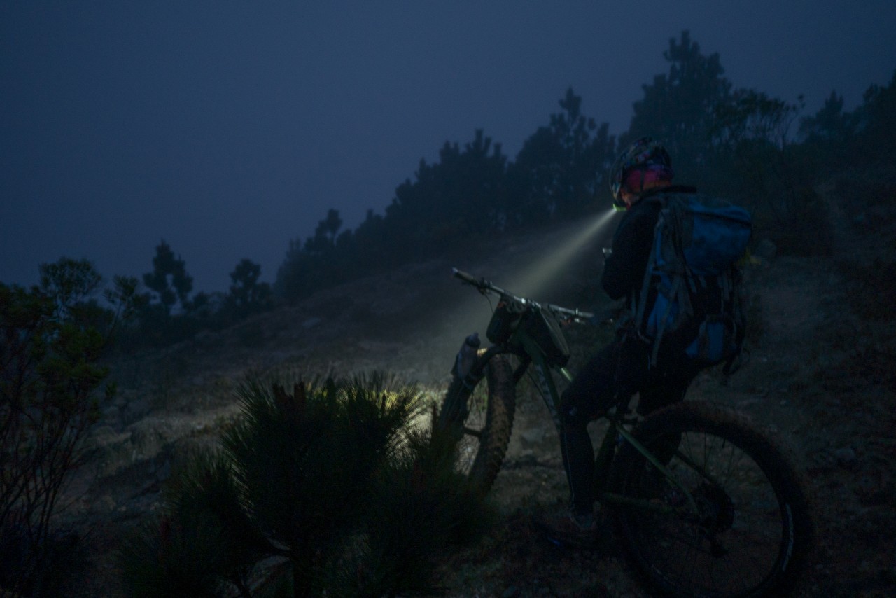
As we reach the saddle, it is cold, dark, and windy. We catch a glimpse of the summit cone of Acatenango in the moonlight as clouds fly past. It looks far away.
Brendan says he wants to make camp at the saddle, and summit in the morning with just the bikes. He gives a number of valid reasons: It will be cold and windy up at 13,000 feet, routefinding through the rocks in the dark will be difficult, we could get lost, he is exhausted. It all makes sense.
But I am determined and not easily talked out of my dream when we are so close. There are no words strong enough to explain how much it means to me. Finally, Brendan agrees to push for the summit.
Step, step, slide. I have been carrying well over half my bodyweight for ten hours. I slip to my knees in the steep couloir and fight to stay upright, blocking out thoughts of failure. “Just keep moving. If the Mayans can do it, I can too. Con tiempo, todo se puede.” My mind plays tricks on me as I struggle in the dark, trying desperately to once again channel the tenacity of the Papabikers. I know they are following our adventure and I want to make them proud.
The dream realized
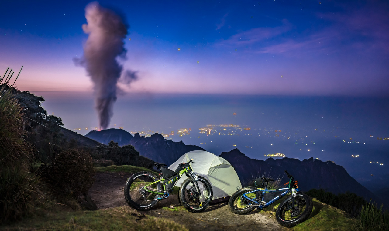
When we finally crest the summit cone with nothing but the sky stretching endlessly overhead, I am overcome with emotion. After all the hardships and doubts, we finally made it. We are up at 13,000 feet with our fat bikes, and we are going to camp face to face with Volcán Fuego. The wind is ripping, but I don’t feel the cold. The stars are brilliant and the purplish glow of the Milky Way casts its hue on the rocks. I have never felt so insignificant.
Suddenly, like an unexpected and esteemed party guest throwing open a door, Fuego announces its presence. A huge black cloud silently billows up from the hole that runs straight down to the earth’s core, and a huge geyser of magma spouts high up into the air. It lights the night up a brilliant red, then rains down on the flanks of the mountain and fades to blackness.
It is impossible to fathom what is happening in front of me. It is too powerful to comprehend, and it is a force of nature I will never truly understand. All I know is that the past twelve hours of suffering were worth it for that moment. We stand in awe as the earth trembles under our feet. No cameras are rolling, but the scene is forever etched in my memory.
When Fuego has finished its spectacular welcome, it falls silent. The wind, which had been ripping across the crater of Acatenango, goes quiet as well. We are left staring into the cold, clear, quiet vacuum of night. The stars look close enough to touch. There are no other beings around: we are alone with the volcano. It is the calmest night I have ever spent in the mountains, and I sleep more soundly than I have in months.
- el Fin -
Volcanarchy: Ixchiguan pt. 3
Piedras Partidas
The Kindness of Strangers
Sick, desperate, and out of options, Brendan and I stood in the center of Ixchiguan in the dark. We had one card left to play. The kind pharmacist Ramirez who gave us medicine also gave his phone number. Brendan called and asked if we could pitch our tent behind the pharmacy.
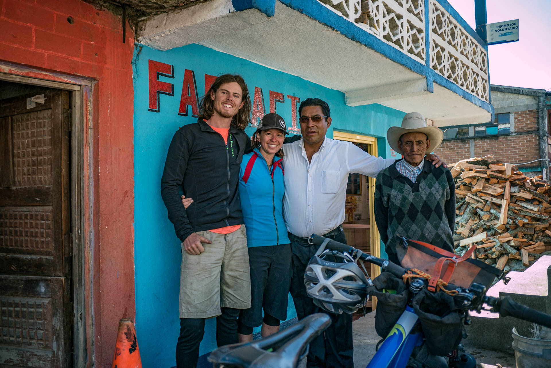
Ramirez said that he owned another pharmacy in town which had a small room with beds above it, and we were welcome to stay there. His family lived just down the hill.
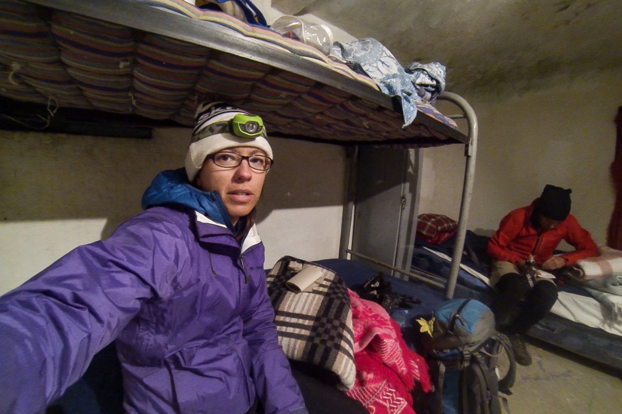
He met us with his pickup truck and took us to the room. “Stay here as long as you like,” he told us in clear, slow Spanish to make sure we understood. “It is peaceful here and you will be safe and warm. I am right down the hill if you need anything.” The room was well ventilated, with small and comfortable beds we were happy to crawl into, shivering after getting out of our soaking wet clothes.
Ramirez returned with hot tea and fresh bread that his wife had made, along with more of the medicine for us to take over the next two days. “Tomorrow, when you are better, you will meet my family. Do not hurry, this is your home for as long as you like.” It did not take long for me to fall into a deep sleep, only waking up to run to the bathroom a few times.
The next day, we slept and recovered. One at a time, Ramirez brought each of his many family members up to meet us, including his 95 year old father. He presented each of them proudly to us like he was introducing the President.
Latin cultures are very community oriented, and the extended family is revered above all else. Each had the same look: stoic and resilient, yet very kind. All of them welcomed us to their home and village. Throughout the day, Ramirez and his wife Dora brought us bread and tea.
Back on the bikes!
Exploring Piedras Partidas
The next day, Brendan and I felt good enough for a short ride. We wouldn’t be able to attempt Tacana, but we didn’t want to lose the opportunity to explore this beautiful, remote area of Guatemala that most people never see.
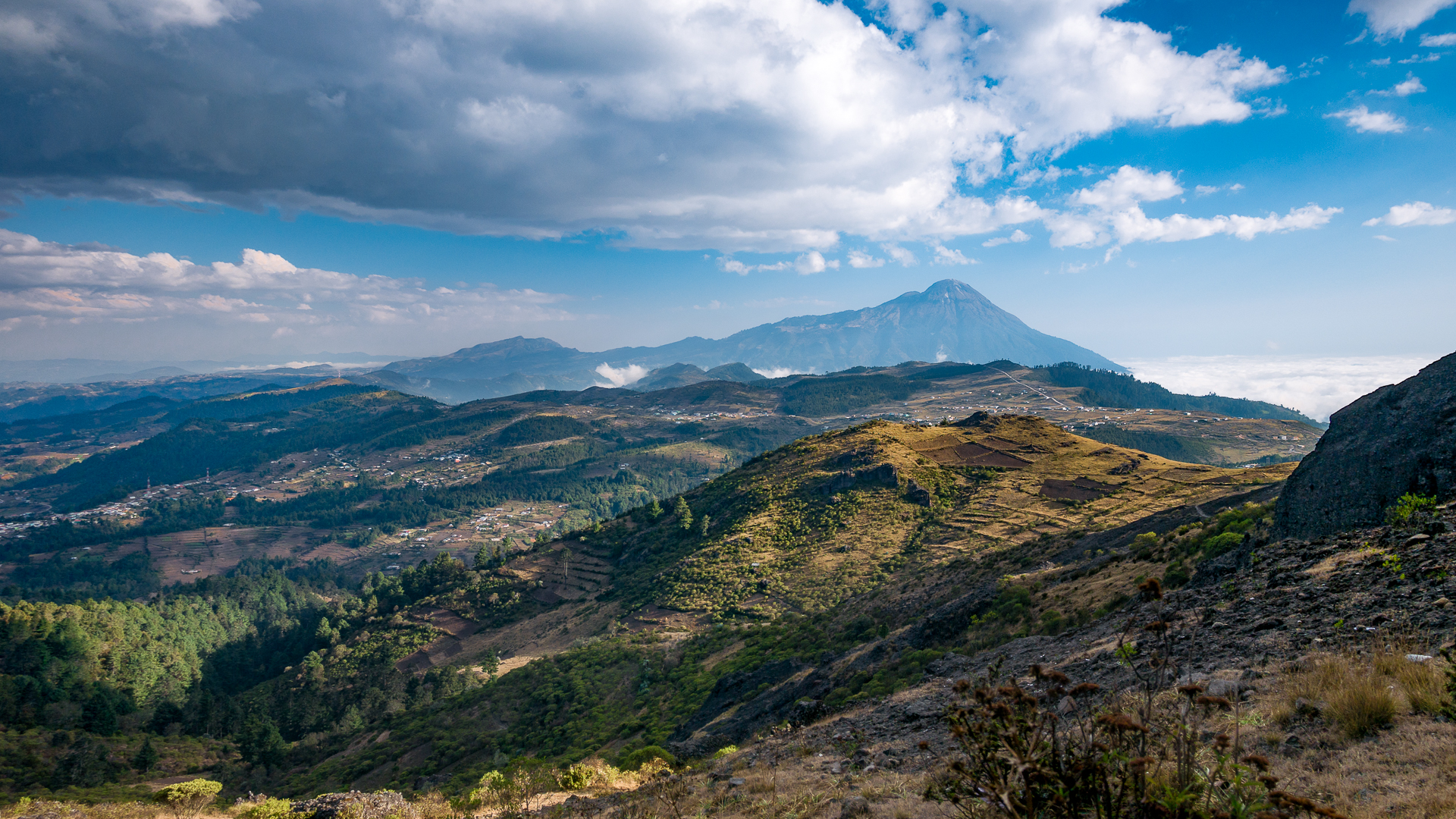
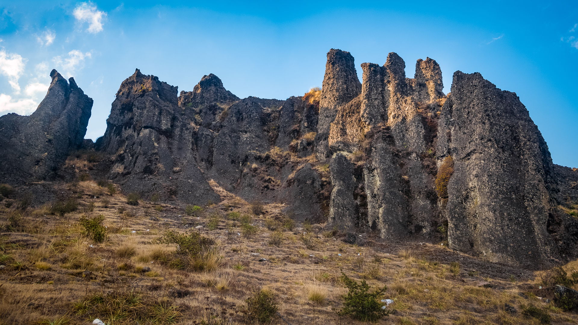
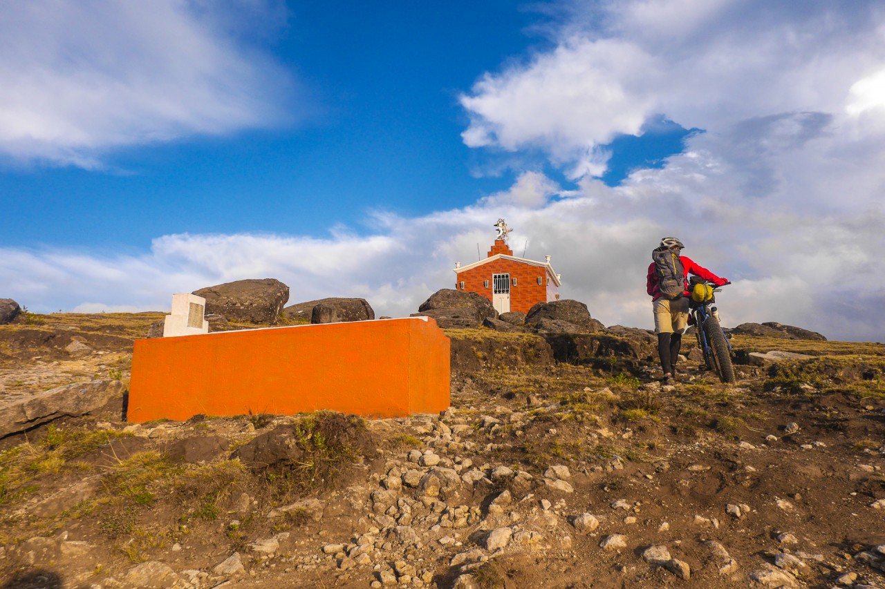
We headed very slowly up the hill about 5 kilometers to a local landmark, Piedras Partidas: an extinct volcanic cone that is the highest point in the San Marcos region.
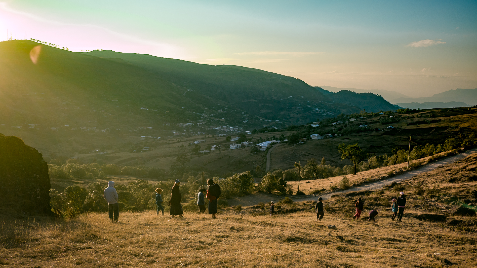
Piedras Partidas is a popular place for people of the area to come and enjoy with their families. It was Semana Santa (Easter) weekend, the biggest holiday of the year in Guatemala. There were many people picnicking, hiking around, and scrambling on the rocks.
We saw some very old Mayan ladies in their traditional dress climbing up the steep faces with remarkable agility. Young children were frolicking around alone on the rocks, their parents unconcerned. Kids learn self-reliance and self-preservation at a very young age in Guatemala.
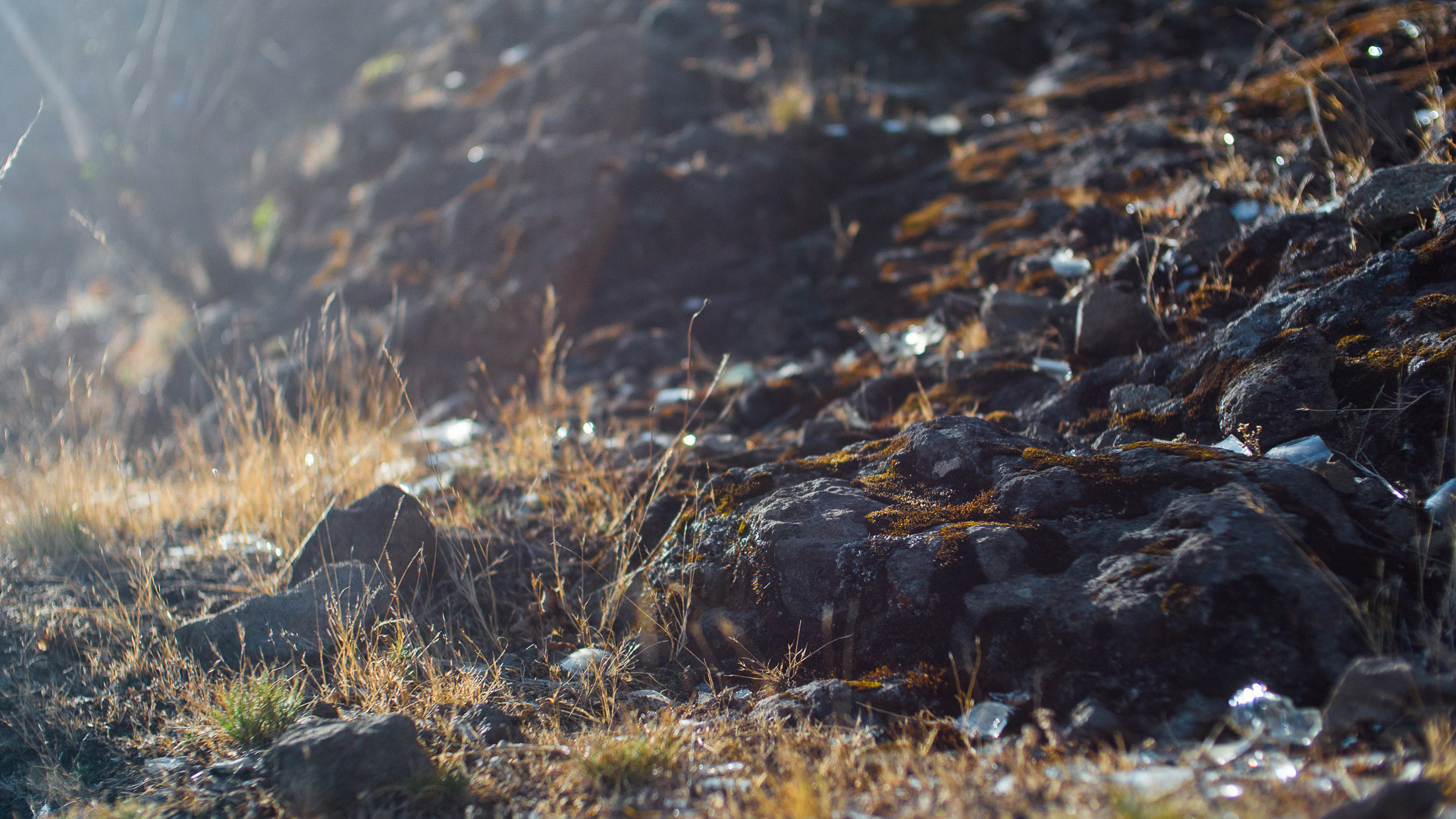
Some of the families were doing Catholic religious ceremonies, where they would chant, sing, and wail while lighting glass candles with pictures of Christ and the Virgin Mary painted on them. Eventually they would hurl these candles, glass and all, off the top of the rocks into the cirque below, and they would shatter on the rocks.
I found this an interesting practice, which left the beautiful rock formations littered with broken glass, but stranger things have happened in the name of religion.
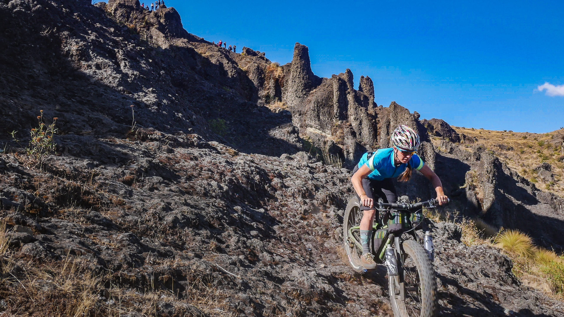
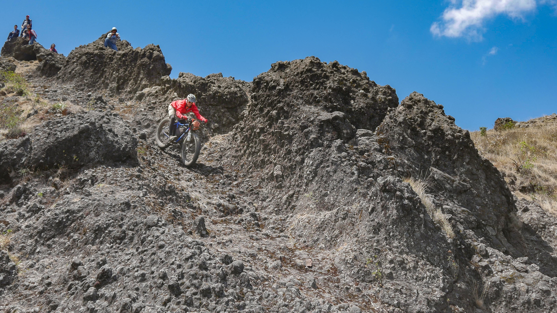
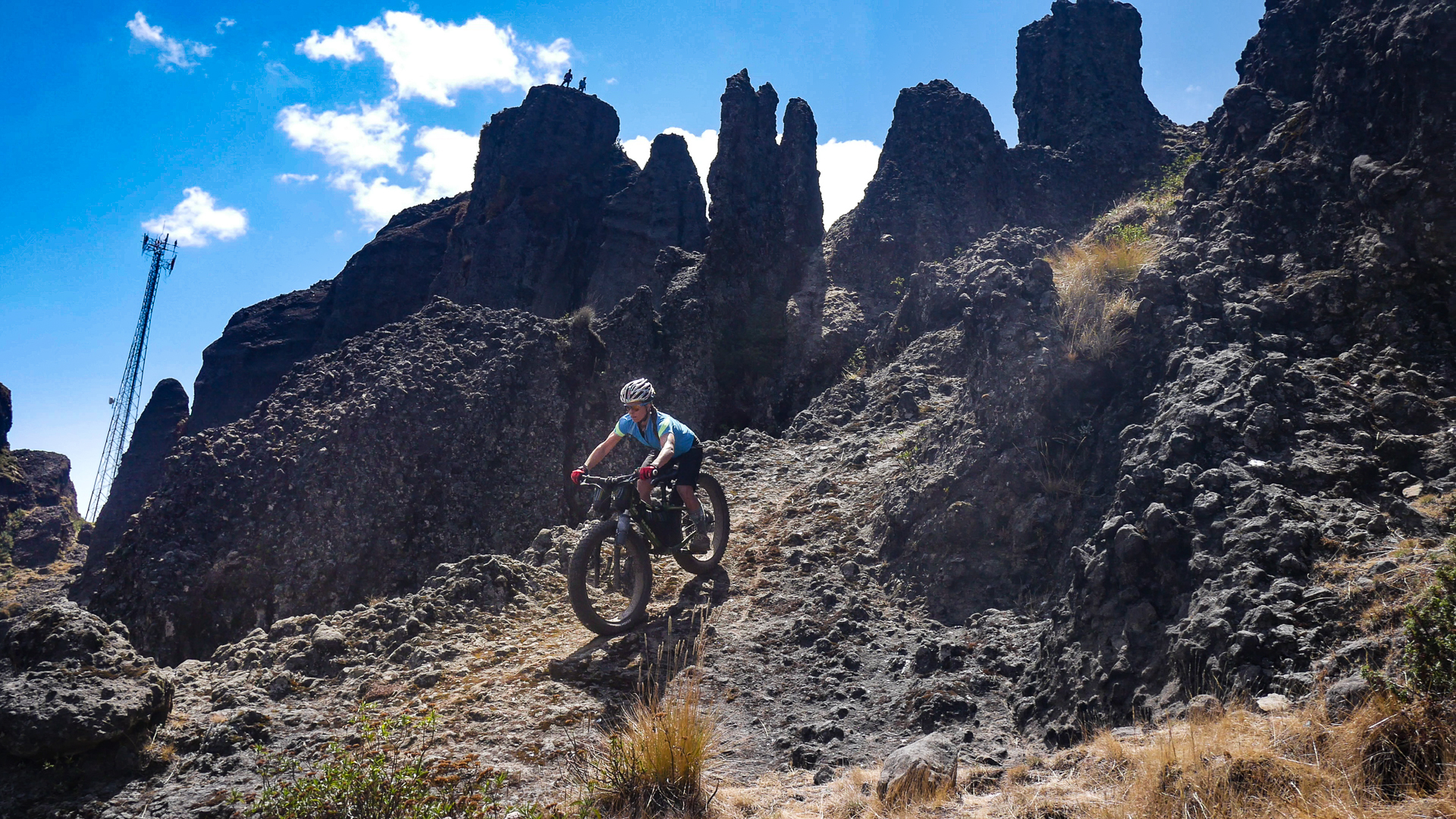
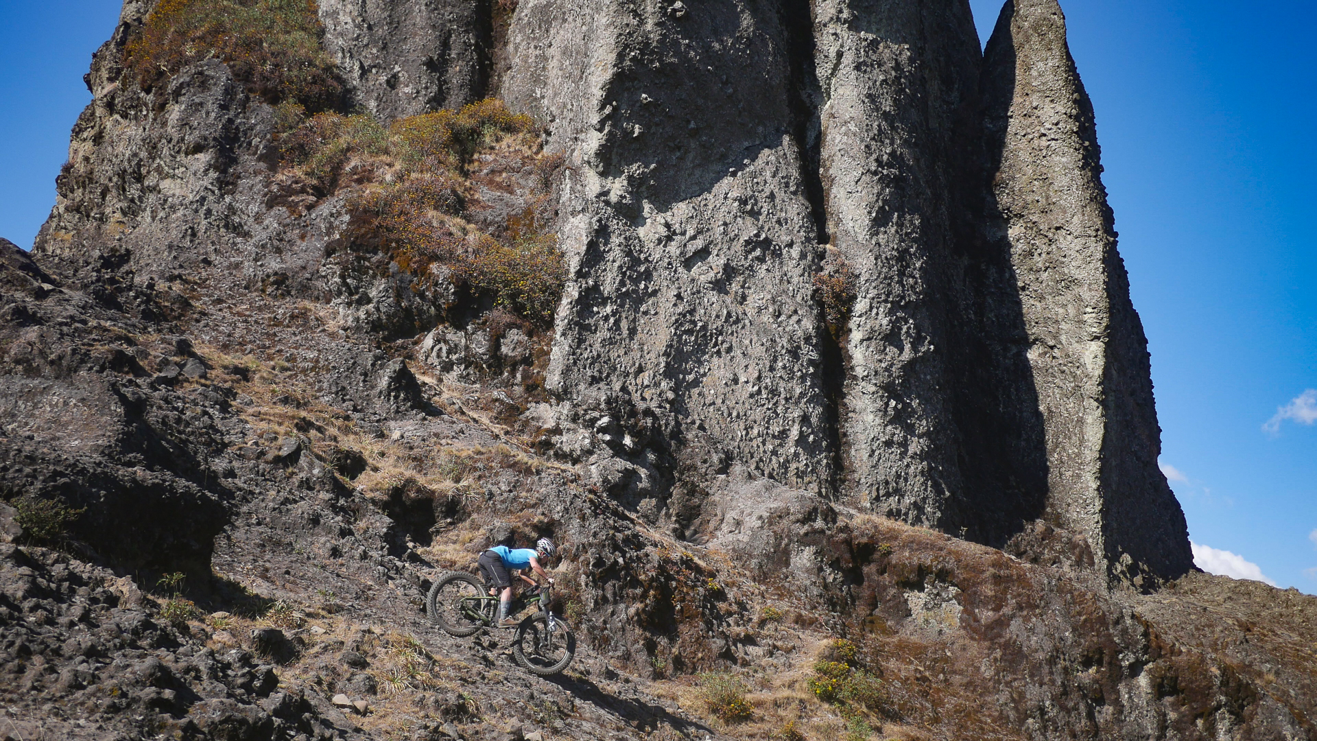
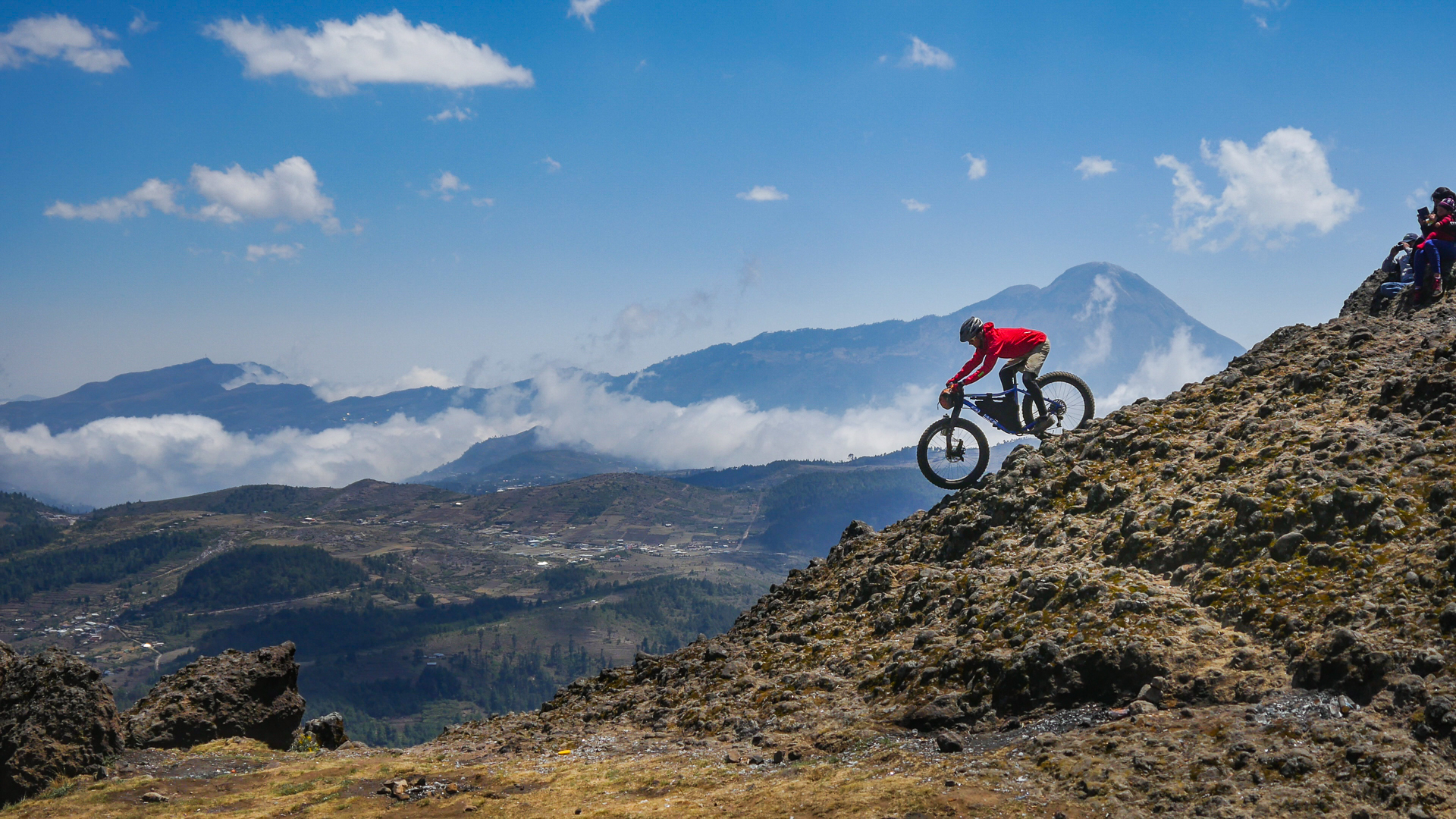
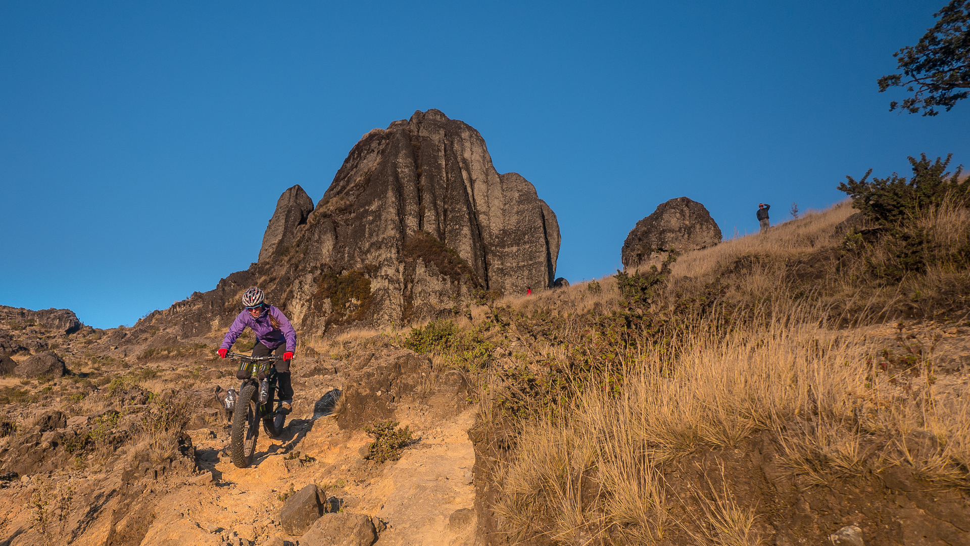
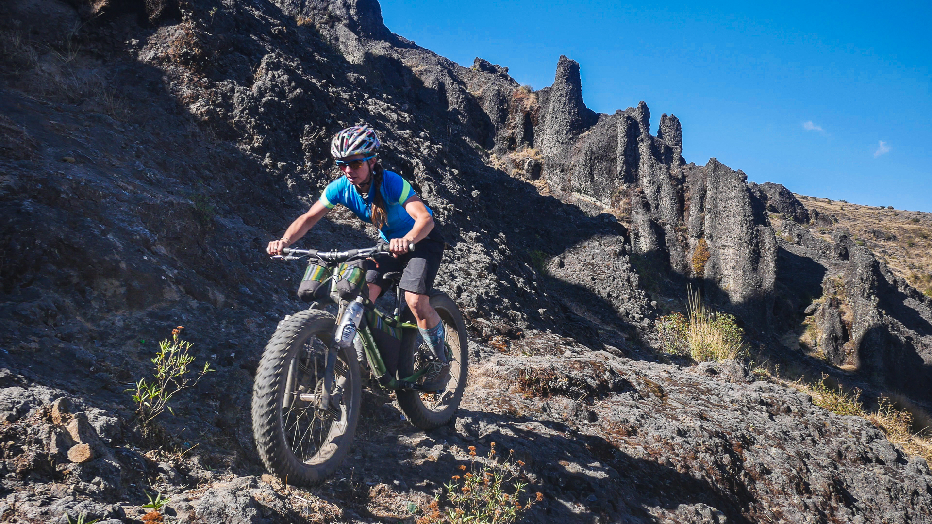
The riding at Piedras Partidas was like nothing I had ever ridden before. It was conglomerate rock, globs of round stones melded together by solidified grey lava, cascading steeply down the extinct cone in couloir-like formations. Using what little energy we had, we hiked up and down the rock lines, linking together longer and longer segments of the tricky terrain until we couldn’t take another upward step.
Quite a spectacle
The Mayans watched us from above, cheering us on when we would skid down the steep rock chutes on our bikes. I was a little nervous that they might not like us riding our bikes all over the place they were doing their religious ceremonies, but in typical Guatemalan fashion — as long as we weren’t camping without permission on private land — anything goes, and no one cared what we were doing aside from finding us entertaining and hilarious.
Mayans of all ages come to Piedras Partidas to enjoy the beautiful area with their families, scramble on the rocks, and perform religious ceremonies.
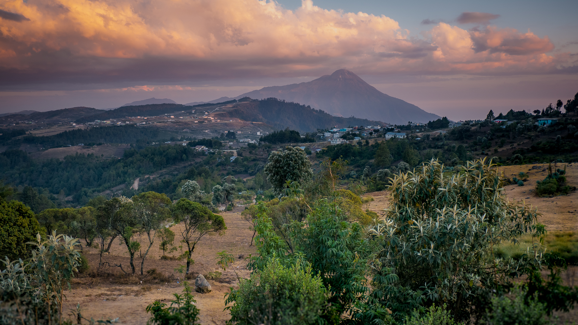
At the end of the day, we rode back down the hill into another stunning sunset towards Ixchiguan. Ramirez was waiting for us, and told us we were invited to have dinner with his family in their home. As we changed clothes and went down the hill, the aroma of fresh bread wafted out the windows. For once in what felt like a long time, I was actually hungry.
Ramirez of Ixchiguan
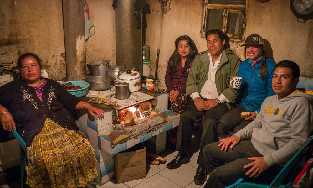
As Dora made stew over the wood fire, Ramirez regaled us with stories of his family and his life in remote northern Guatemala.
He told us of his years spent working for the DEA in the United States, flying around in helicopters busting narcotraficantes trying to get across the border.
A helicopter crash that left him needing back surgery ended his career, and he returned to his community and became a pharmacist.
Custom Heading
The whole family had gathered for Semana Santa, and they were taking part in the community celebration which included dancing with elaborate masks and costumes, decorating the streets, and horses trained to do all sorts of tricks.
It was an unforgettable evening spent with this warm and welcoming family, whose lives were so different than ours, but who shared many of the same values and aspirations.
Saying Goodbye
The next morning, despite many invitations to stay and join the family for the Semana Santa festivities, we packed up our bikes to get back on the road. We had only a week left, and one more objective to complete. We were determined to get to the top of the next volcano, and we needed to make our way back across the country.
We said our goodbyes with gratitude, pointed our loaded bikes back towards the south, and rode away from Ixchiguan — with the elusive Tacana, still untouched, growing ever smaller over our shoulders.
Volcanarchy: Ixchiguan pt. 2
Exploring the northern region of Guatemala and Ixchiguán on fatbikes
A place to rest
After our much-needed siesta on the side of the road between Tajumulco and Tacana, Brendan and I continued north. We were headed for the pueblo of Sibinal, which was at the base of Volcan Tacana. But our siesta had set us back, and we knew we would not make the 40k to Sibinal that night.
We crested a hill as the shadows were growing long, and we were both getting hungry. Below us was a town: the village of Ixchiguan. Maybe we could camp somewhere around here? It would be a push for Tacana in the morning, but anything that would help Brendan recover was our priority- solid food and a good night’s sleep. As we coasted down, we saw a steep trail heading up an adjacent hillside towards a cemetery. The hill was just above treeline. It looked peaceful up there. Although we didn’t really have the energy to push the bikes up another hill – we decided to have a look.
Room with a view
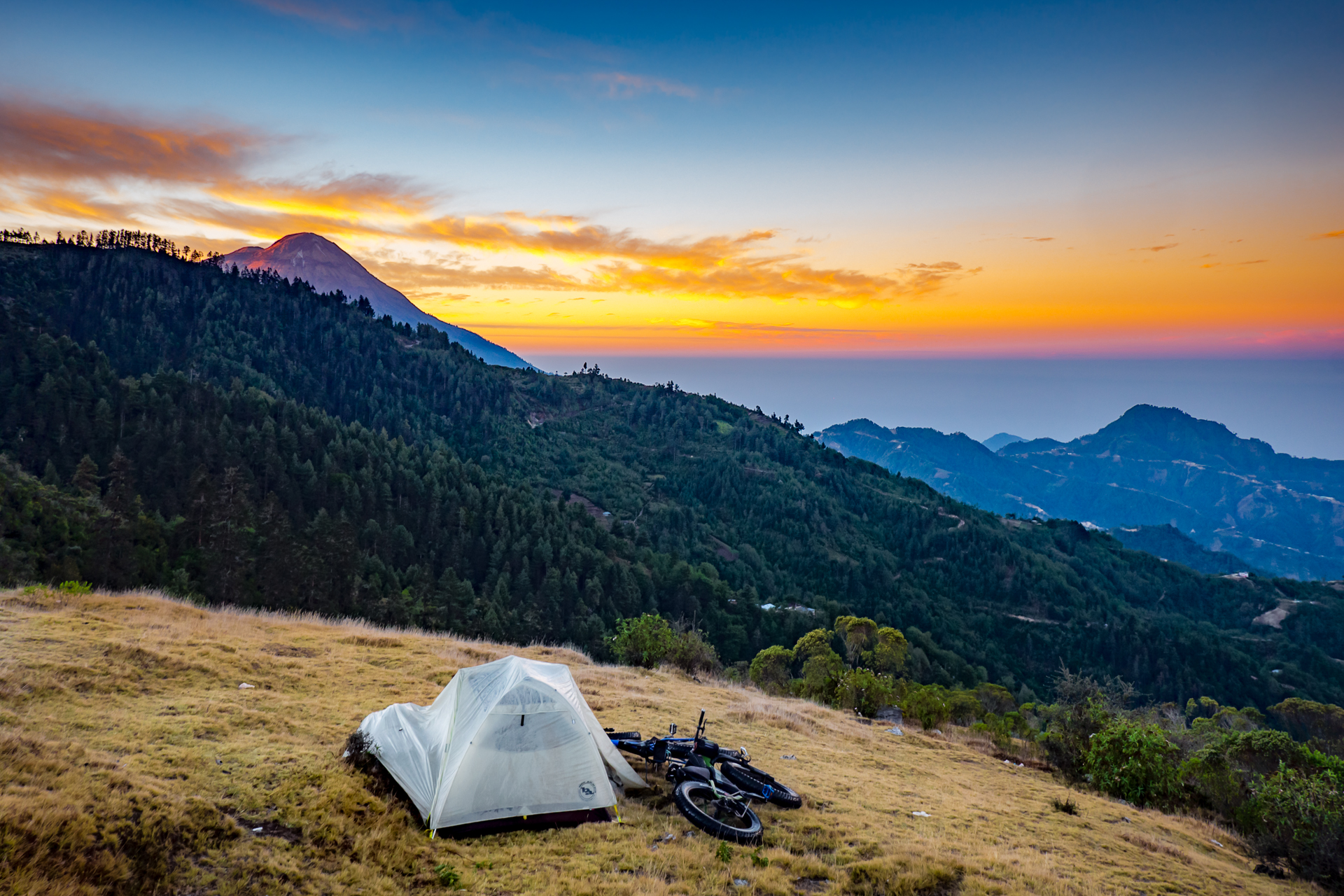
At the crest of the hill was a Cemetario, with a few lone horses grazing in the stubbly alpine grass. Uphill from us a sleepy pueblo lay off in the distance. We scouted the barren slope for a flat spot to camp for the evening -out of sight of the Mayans. To the west we had a 180 degree panorama with views of Volcán Tajumulco on our left and Tacaná off to the right. Here we were, at our tiny spot in space – halfway between our two objectives and our view framed by the two largest points in the continent.
Our hilltop camping spot was perfect. Although we could not see it we knew the Pacific ocean was right there – 11,00ft below us and beneath the coastal clouds. “Not too bad!” said Brendan, eagerly setting up his tripod as the last light of the day faded.
When we crested the hill above Ixchiguan, there was no one in sight. The sun was setting, a storm was brewing on the horizon, and we were eager to put up the tent and cook dinner.
I wondered if we should find someone to ask if we could camp there, but we both knew it would take too much time to attempt to chase down a caretaker at that point. We figured we would be out of there early enough in the morning that no one would notice us.
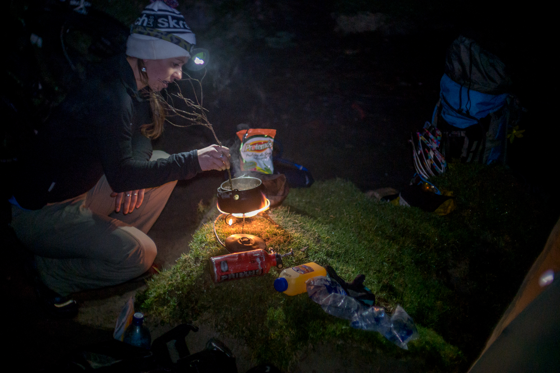
In the distance, a major electrical storm was quickly enveloping the ridge between us and Tajumulco. As the sun set it took with it it’s last golden rays beneath the clouds. I put up the tent while Brendan cooked dinner, trying to minimize the time we would need to be outside if the storm came our way. Thunder rumbled and lightning cracked across the sky as we huddled in the dirt alcove, sheltered from the wind. We ate our simple staple of a travel meal (quinoa, pasta sauce and dehydrated tofu) and watched the storm rage and then roll on. Thankfully, it didn’t reach us.
A different kind of storm
Sometime in the night, I awoke to a different kind of storm brewing- this time in my stomach. Oh shit. I spent the rest of the night running for the bushes. I don’t think I’ve ever been that sick in my life.
In the morning, I learned that Brendan had gotten it too. Sick on top of sick. We laid in the tent all morning, both moaning in pain in between runs for the bushes, trying to figure out what had gotten us. Was it the packeted sauce? The dehydrated tofu? Or maybe the breakfast we had many hours earlier at the tienda near the base of Tajumulco? Whatever it was, it got us good. We were wrecked.
Sickness strikes
Volcán Tacaná towered over us just a little ways north, but it might as well have been on another continent. At that point neither of us cared.
Just when we thought nothing else could possibly go wrong...
In the afternoon, clouds rolled in and a misty rain started to fall. We drifted in and out of fitful sleep, punctuated by stomach cramps. At around 4 pm, I awoke to the sound of commanding voices outside.
I peeked through the tent mesh and saw 12 angry Mayans standing there, both men and women, armed with clubs. My heart dropped into my stomach as I shook Brendan awake. “I think we’re in trouble.”
Brendan went outside while I stayed lying in a heap hoping that being a sick woman would evoke mercy. The villagers from up the hill had been watching us throughout the day and raised the alarm. This group was sent as representatives from the village to run us out.
Brendan explained the situation, that we did not mean any harm, that we were tourists traveling by bike and headed to the volcano, we had planned to leave early in the morning, but had gotten sick during the night.
They gave us a 20 minute speech, saying that we should not be here, that it was private land, people come there to pay respects to their dead and would not want to see someone camping up there, and besides it was dangerous: there were coyotes around, and people who would come and throw us off the cliff while we were in the tent.
Brendan pleaded for one more night to recover, saying the woman in the tent was very sick and could not move. They wanted to see me, so I poked my head out of the tent and moaned, “disculpeme, no tengo problemas, estoy muy enferma.”
No mercy
The group had a tense conversation in Mam, the native Mayan language of the northern region. Finally, they informed us that they would give us one hour to pack up and move on. If we were not gone in an hour — “there will be problems.”
It was evident they felt threatened by us. The wild border area was known for narcotrafficking, and certainly not for tourism. No one here sees gringos. Sick, tired, and frustrated, trying not to shit our pants, we packed our things in the cold rain as they smirked, smacking their clubs in their hands.
We finally managed to stuff our wet gear into our packs and trudged off, dripping and despondent, back down the hill towards town.
When we got to Ixchiguan, I was a wreck. I was barely able to move without releasing a foul torrent of liquid bowel magma down my pant legs. My stomach felt like something had curled up and died in there, and its ghost was trying to claw its way out.
Brendan was slightly more functional, and when we stopped at the pharmacy, the first building in town, he went in to seek help while I lay in a pathetic heap on the side of the road.
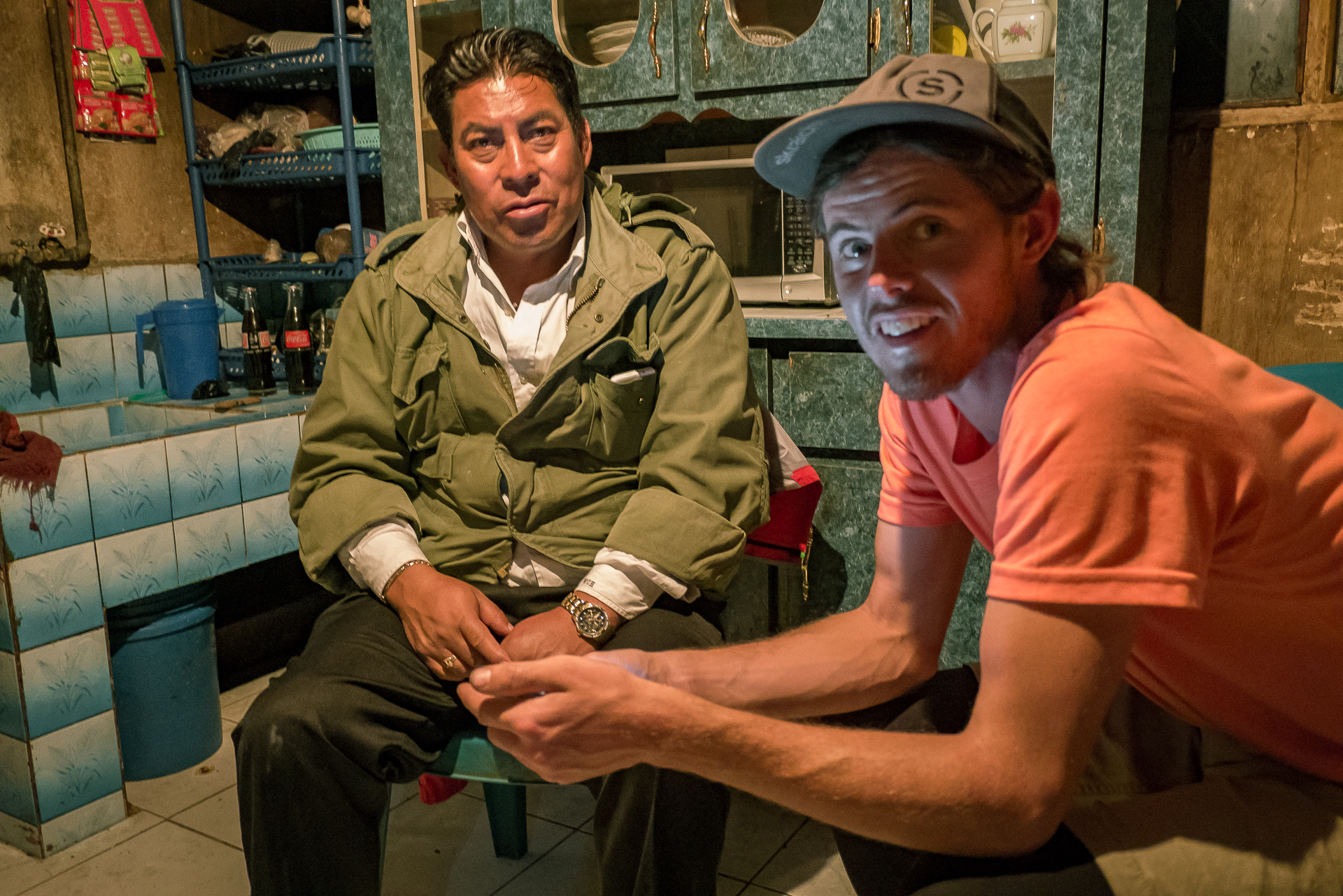
He emerged with a concerned-looking Mayan man who introduced himself as Ramirez. He was the pharmacist, and wanted to talk to me. He was very kind as he asked me about my symptoms, and quickly produced water and some pills for both of us: an antiparasitic drug he said would have us feeling better in two or three days.
He also gave us the names of the two hotels in town, and his phone number, with instructions to call him if we needed any help.
Darkness fell as Brendan and I slogged up the main street of Ixchiguan. We found both hotels and looked at the rooms. They were no place for a sick person: stinking of mold, no ventilation, and sketchy electrical wires running everywhere. I would rather sleep outside.
As we stumbled back out into the night, I was trying hard to hold it together. Freaking out or panicking wasn’t going to get us anywhere, but I was at my wits end and doing everything I could to keep from having to drop my pants and shit in the street.
Desperate, I pulled out Ramirez’s number and asked Brendan to please call him. “And ask him what?” he asked. “I don’t know,” I said. “But he said to call if we needed help. And I think we need help.”

Volcanarchy: Ixchiguan pt. 1
Exploring the northern region of Guatemala and Ixchiguán on fatbikes
Ixchiguán and the Search for Volcán Tacaná
The time Liz and I spent in Ixchiguán was not the highlight of our trip. It involved a terrible stomach sickness for the two of us, an unfriendly encounter with the locals, and we had to scrap one of my most coveted objectives of the entire expedition: the ascent of Volcán Tacaná (4060m).
For this leg of the journey we had to travel from home in Panajachel to the the remote northern border that Guatemala shares with Mexico. When our friends Sergio, Oscar, and Pichi dropped us off at the base of Volcan Tajumulco we were prepared to spend up to 6 days in the region with the objective to fatbike from the base of Volcan Tajumulco to Tacana.
There was very little information on the route or the roads in the area. I was recovering from a sickness that had left me bedridden for 3 days and too weak to get to the summit of Volcan Tajumulco – lowering our morale even more. My plan was to recover “on the road” and take it slowly.
Gallery
A dream unfinished
When Liz came to me with the idea of Volcanarchy I somewhat knew what logistics would be involved. I had hiked most of the objectives on foot with the exception of Volcan Tacana. Ever since I had stood on the summit of Tajumulco looking across towards the Mexican border I had been enticed by the volcano’s appeal. It was big, remote, and stood alone, with much more prominence than Tajumulco.
There were two routes to its summit: one involved a 3 day trek from the Mexican side of the border and the other involved reaching the remote town of Sibinal on the Guatamala side to which there was very little public transportation. To my knowledge no one has taken bicycles up Tacana – I knew it would be the highlight of the expedition.
Coincidentally we were also scheduled to be in the San Marcos district during the holy week of Semana Santa, during which they have a hiker’s reunion on the mountain, so I thought that would be cool to catch as well.
San Marcos District
The northern frontier of Guatemala
Looking across the valley beneath Tajumulco you can see the endless patchwork of fields and switch-backed dirt roads that climb the impossibly steep terrain. Although they are numerous, none of the roads are on the map and our research for this trip had to be done entirely with satellite imagry.
Beyond the law
All the information on the San Marcos District is a bit sketchy. The area is known for narco-trafficking and violence and it shares a rugged and lengthy un-patrolled border with the Chiapas district in Mexico. During the Guatemalan civil war in the 70’s and 80’s the area was a stronghold of the rebel forces and they even used the summit of Volcan Tajumulco as a radio base to communicate with their soldiers.
The entire area has a certain lawlessness to it, with very little police presence and no tourism infrastructure. The entire region of San Marcos is at or above 10,000ft and can be considered alpine terrain, with very few trees, extreme weather and volcanic formations. The temperature ranges from blistering hot in the sun to extreme cold at night – San Marcos is one of the few areas in Guatemala that receives snowfall.
Back on the road!
Joining Volcan Tajumulco and Tacana by bike
After a welcome breakfast with a family who ran a small tienda at the base of Tajumulco we were off along the highway to Sibinal. Taking the fatbikes on pavement can be a bit of a bog so we pumped up the tire p.s.i in preparation for the 40k journey. The highway afforded enormous views southward across the country and east towards Huehuetenango.
I was moving slowly, weakened from our 12 hour climb of Tajumulco and a shivering cold night in the tent the day before. The weather in the northern area could be quite temperamental – hot one minute in the sun and freezing cold the next in the shade. We were at 10,000ft after all.
We made our way slowly gaining altitude en route to Sibinal, somewhat recovering from an intense day on Volcan Tajumulco. The energy just wasn’t there for me that day and I ended up passing out on the roadside, still very sick from the week before. We had already been through a lot on this expedition and I found myself at an all time low – with serious doubts that we would make our objective of Volcan Tacana after traveling so far.
Both weak from the day before we decided to take a long siesta on the side of the highway and take in the clouds as they cascaded up the valley.
Volcanarchy: Tajumulco pt. 2
A journey to the highest point in Central America: Volcán Tajumulco
The Journey Upwards
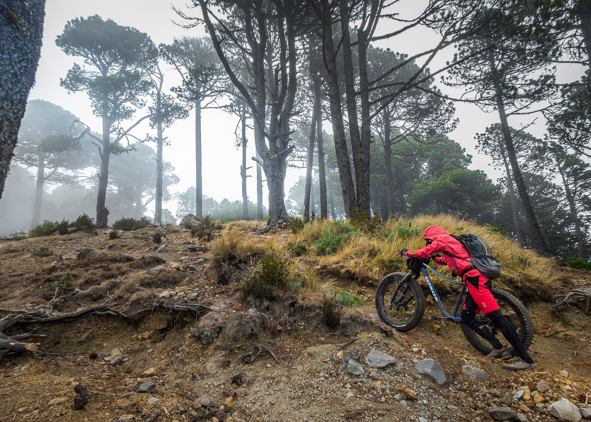
As Brendan and I snaked our way up the flanks of Volcan Tajumulco, the trail quickly turned steep. We gradually learned the most efficient and effective methods for each of us to make progress. Brendan’s preferred method was pushing. Since he is tall and can get more leverage against the load, he made good time this way.
For me, the best method was lifting my bike overhead and balancing it across my shoulders, resting it on the top of my pack. Pushing the bike, for me, mostly results in pushing myself backwards. It is steep and loose, and the bike is too heavy. So I shoulder the bike, put my head down, turn off my brain, and march upwards.
For me, the best method was lifting my bike overhead and balancing it across my shoulders, resting it on the top of my pack. Pushing the bike, for me, mostly results in pushing myself backwards. It is steep and loose, and the bike is too heavy. So I shoulder the bike, put my head down, turn off my brain, and march upwards.
Below me, Brendan fell further and further back. I was worried, as I have never seen him move that slowly. Usually he is the strongest of any group we are in. I could tell he was deep in the pain cave and struggling. He had barely eaten anything in days, bedridden and sick, and he was running on nothing but tenacity and willpower.
Above me, our friends were still sprinting uphill. I waited as they slipped from my sight. Brendan and I had always stuck together on rides where one of us was struggling, the other hanging quietly back for moral support. This time would be no different. I knew he would push as far as he could.
Volcán Tajumulco (4,220m)
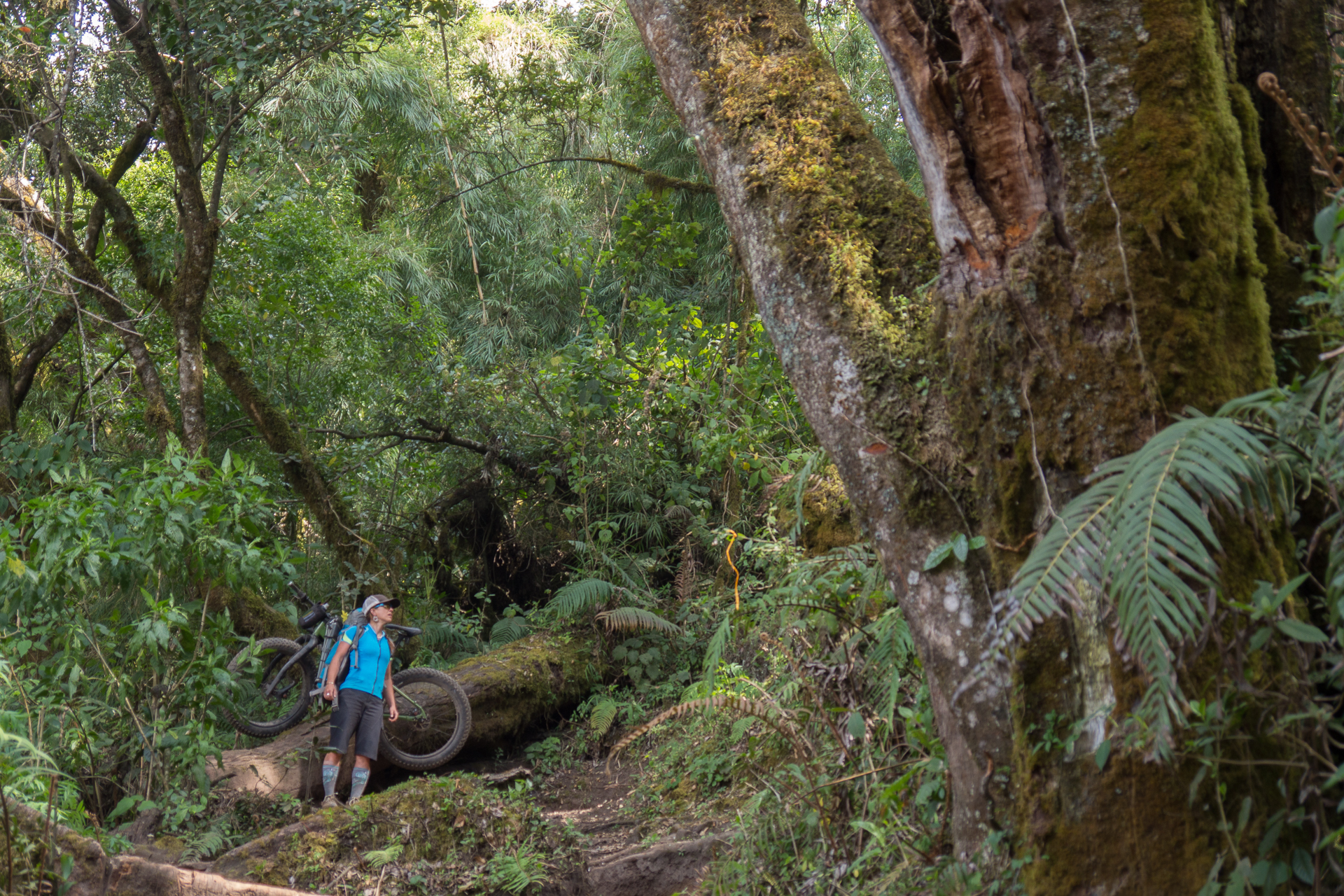
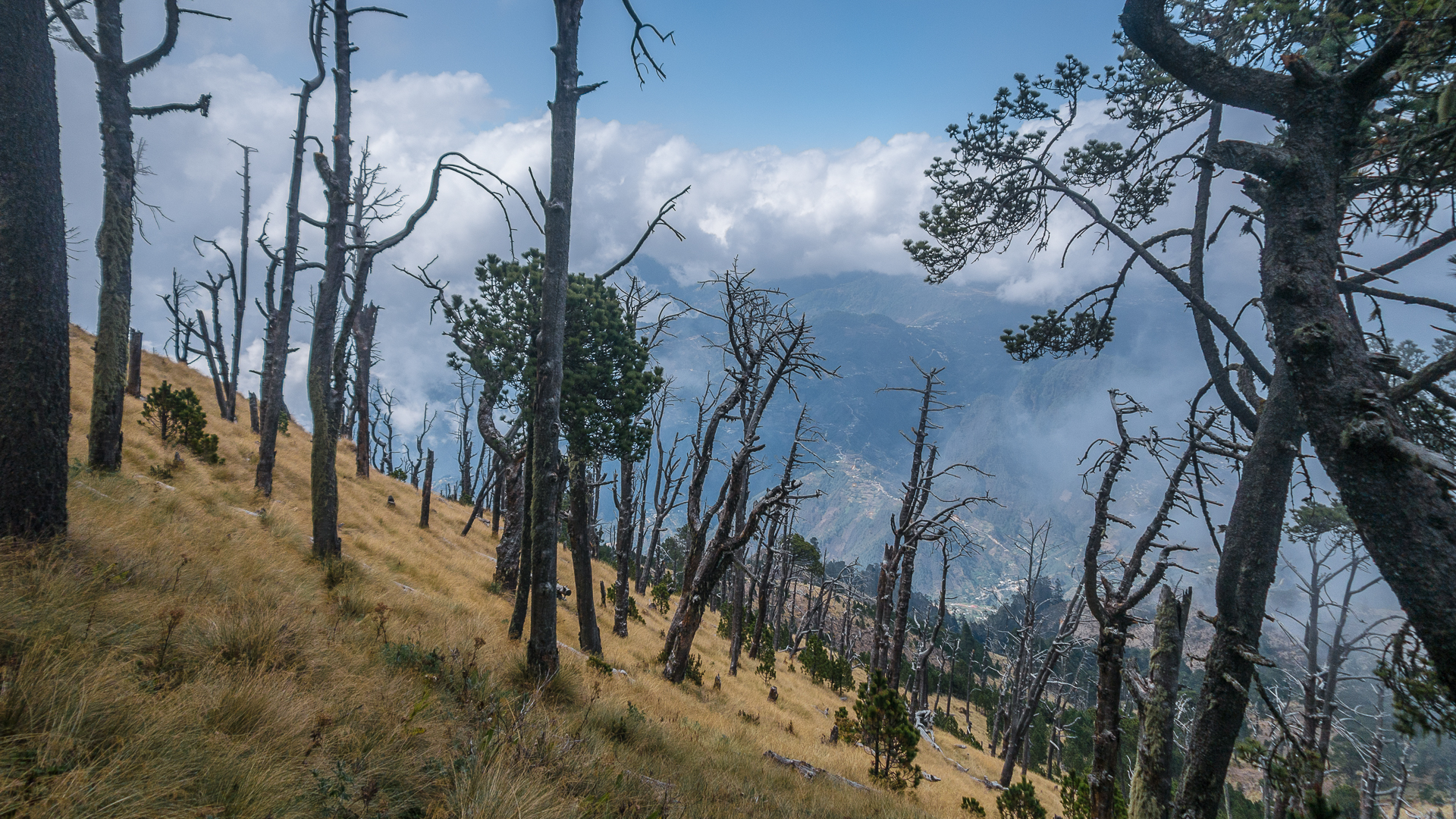
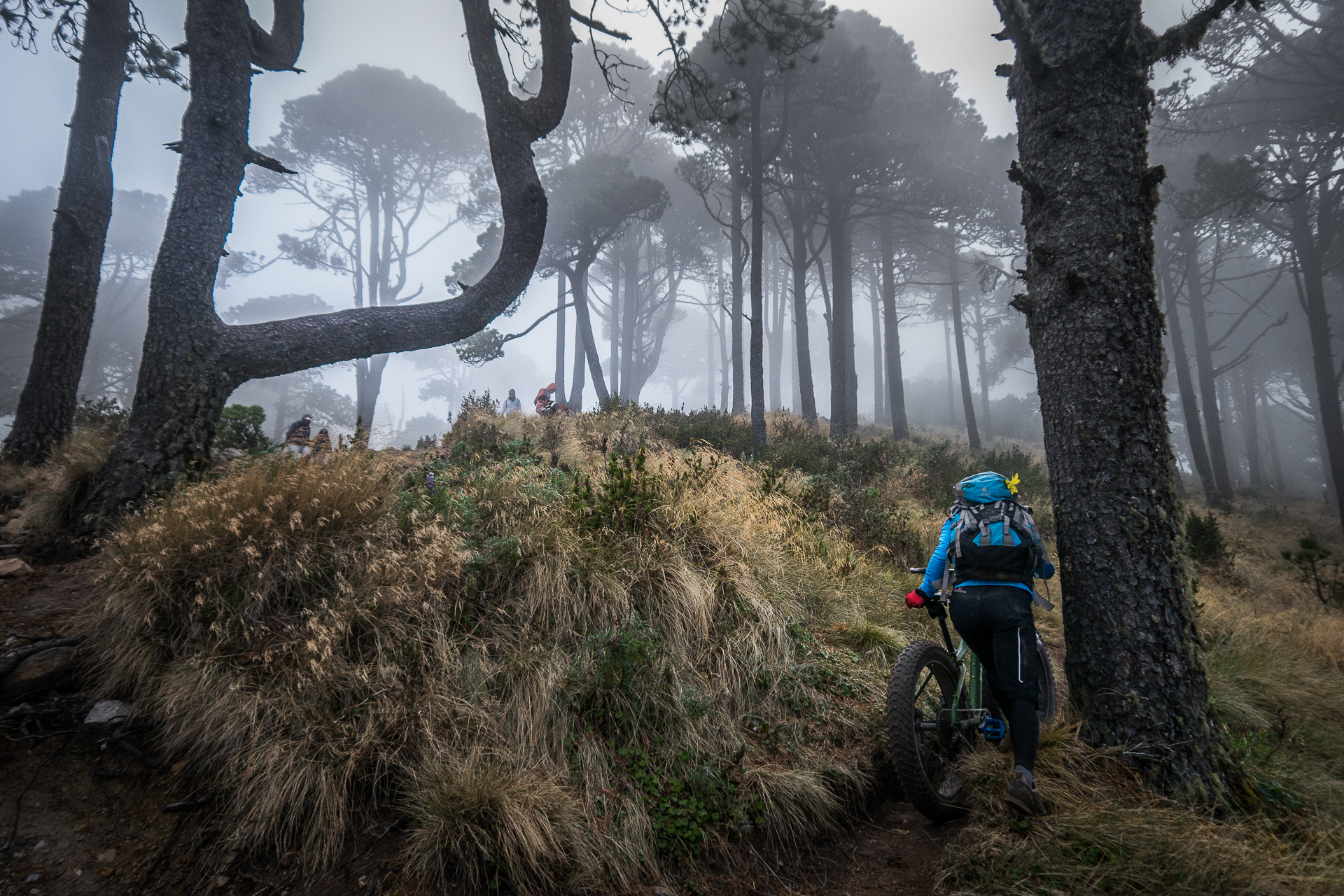
We finally hit a ridgeline, and there was an eerie feeling to the place as we continued up. The fog was otherworldly, almost alive, like a veil of heavy grey algae that we had to swim through. Standing over 100 feet tall, ghostly Araucauria trees slipped in and out of the mist as we trudged past. I looked up at them in awe. I could barely see the tops. I felt like I had gone back in time, walking past these ancient trees I had only seen before in pictures.
A Rebel Stronghold
Finally we reached the base of the summit cone. Just below us in an old steam vent crater stood the remnants of a building: the remains of an old rebel base from the civil war that ended twenty years ago. Tajumulco had been a rebel stronghold, and there are still 500 untriggered land mines lying buried somewhere around the mountain. I shuddered in the fog, silently vowing to stick to the trails on this one. This was not a place to get lost.
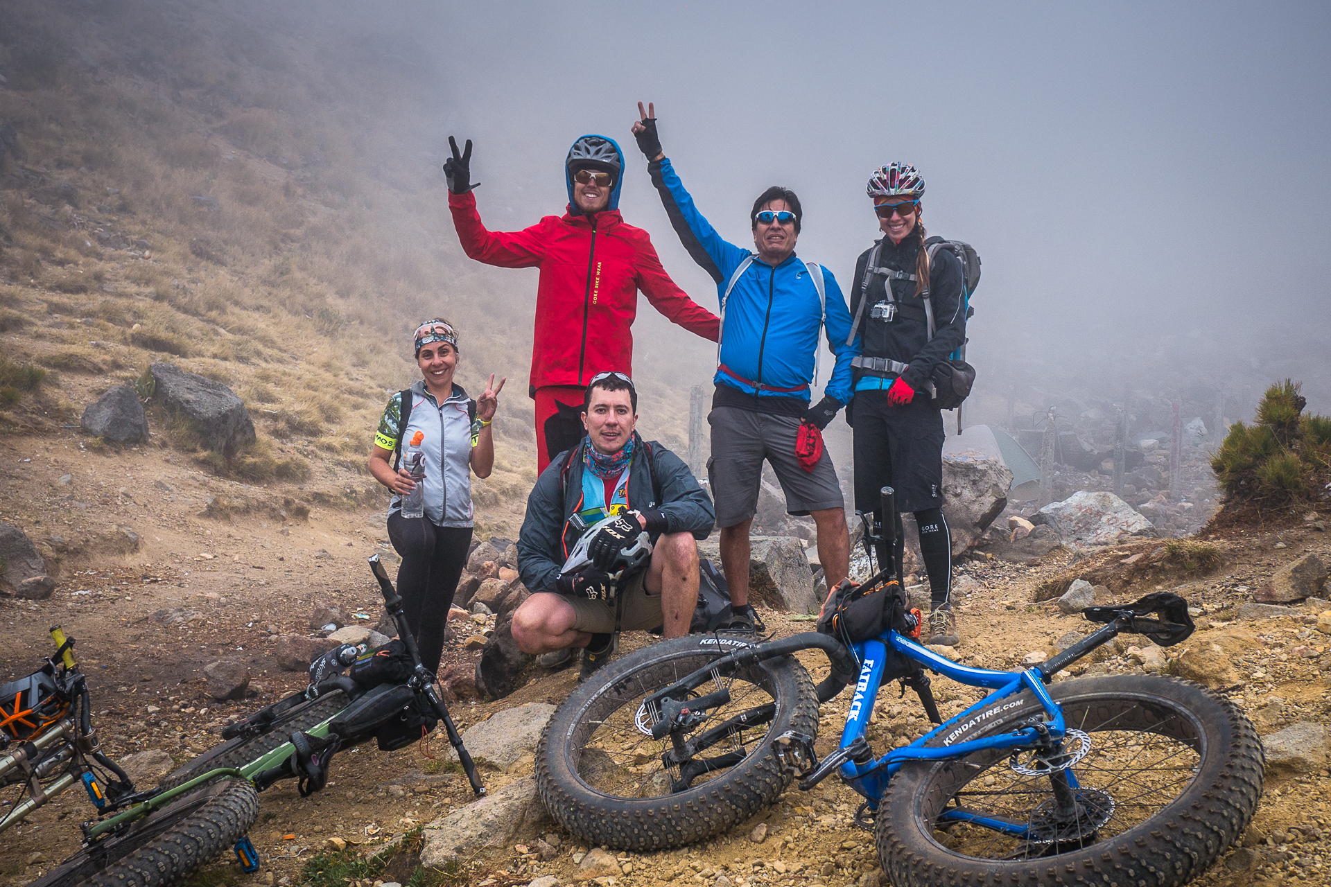
As we huddled close together in the rocks for warmth, our backs against the biting wind, we decided to pull the plug. Brendan was cracked, sick, and the summit was still enshrouded in the milky veil. Our friends flew past us from somewhere above, hooting and hollering as they descended wildly only half in control. We had to laugh, and cheered them on as they charged out of sight. It was the Guatemalan way.
The Golden Hour
Finally, a reward for our efforts.
As we slowly made our way down, the fog finally cracked, and we were rewarded for taking our time. A burst of warm golden light filtered through revealing the tops of the ancient Araucaria trees reaching for the sky, and bathing us in warmth.
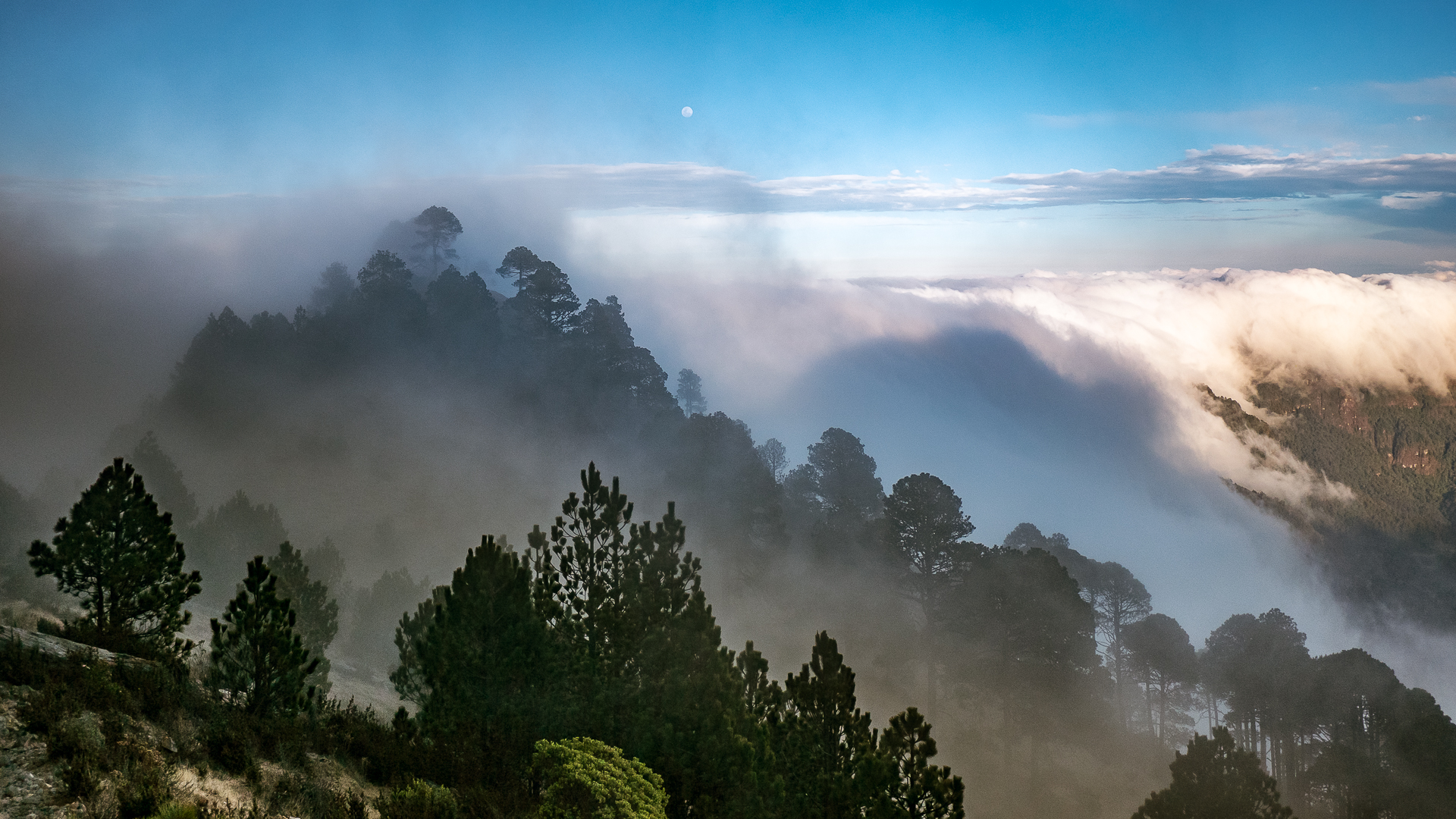
Suddenly we could see where we were: atop a huge ridgeline, with vast, mountainous terrain below stretching all the way to Mexico in the north, Xela in the south, and the Pacific Ocean far on the horizon. The clouds below us ebbed and flowed like waves in the valleys. The struggle was forgotten as we stood in awe of the scene around us.
A network in no-man's land
In this remote area of northern Guatemala, we were looking down upon a network of human life. Hundreds of tiny roads snaked along ridgelines, dropping precipitously down the canyons with tight switchbacks. The roads connected to countless tiny villages that don’t exist on any map, invisible to most of the world. This was a different sort of wilderness.
Timelapse at 13,000 ft.
Time to go down!
The ride down the flanks of Tajumulco was so fun it should be illegal. The trails were carved deeply into the soil like tiny canyons, changing quickly from shallow to handlebar high and back again, snaking through the trees and popping out into green meadows where the golden light and swirling fog danced around like some sort of trippy dream. Darkness came quickly as we re-entered the dark forest. A drizzly rain started to fall, making the roots, rocks and steep dropoffs tricky to negotiate.
Nighted
We donned lights and pulled out the GPS. We had not tracked our ascent route as we needed to ration batteries for the week. Looking at the topo, we knew we were headed in the right direction, but trails were snaking everywhere. Routefinding went from difficult to impossible. Slowly we continued on, being careful to stay on the ridgeline and not drop off into the canyons. Though neither of us said it, thoughts of untriggered landmines were in the back of both our minds.
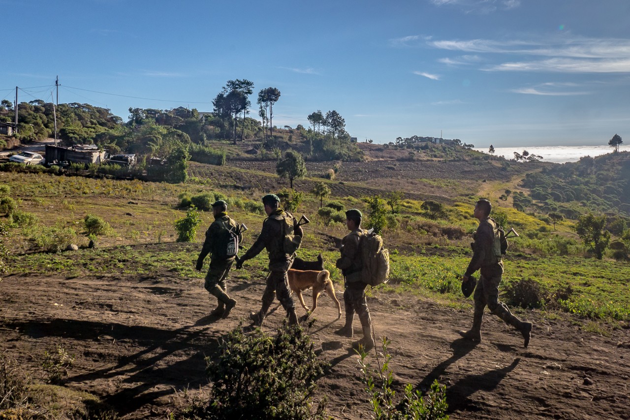
Suddenly, we saw lights off to our right. Was it a house? Maybe the one we were camped at? We stopped, contemplating. Then, flashlights pointed at us. Maybe it was our friends searching for us! We started moving towards them. As we got closer, we realized it was not our friends, but four soldiers from the Guatemalan army, complete with night vision goggles and assault rifles.
We are definitely in their territory: a shine of their lights behind them reveals a large military base, obviously built to ensure the guerrilla forces that had Tajumulco as a stronghold during the war don’t come back. Brendan and I look at each other, silently thankful we can communicate in Spanish as we explain our harmless intent. The soldiers point us the right way towards our camp and we ride into the night.
When we reached camp, our friends were overjoyed to see us. They had been worried. Sergio and Oscar had been out searching for us twice, and also for Pichi who had gotten onto the wrong trail and was lost alone for two hours in the dark. Somehow, she said, she had ended up two valleys over. She had just returned, exhausted.
Oscar was cooking dinner and tea, and we gladly contributed our share. The hot meal warmed us from the inside, and we crawled into our tent as the dust swirled and the wind howled around us, reminding us we were at 11,000ft. I was asleep before my head hit the pillow.
“Extreme” – go figure
Moving On
In the morning Brendan still felt weak, but his nausea was gone. We decided to ride north to Volcan Tacana as planned. We felt deflated by falling short on Santiaguito and now Tajumulco. We wondered aloud if we had bitten off more than we could chew, and if our goal was even possible.
Sergio, no stranger to these pursuits, has one piece of advice for us as he bids us farewell: “Con tiempo, todo se puede:” With time, all can be done.
- el Fin. -
Volcanarchy: Tajumulco pt. 1
A journey to the highest point in Central America: Volcán Tajumulco
Volcán Tajumulco (4,220m)
From the west, Volcàn Tajumulco towers above the coastal planes and the Chiapas region of Mexico, lifting like a hunched giant above the tropical haze. The mountain’s broad grey summit is one of the few places in central America that receives snowfall. From the east the volcáno is more attainable, sloping up gently from the San Marcos highlands where a mere 1000m of climbing brings you to its 4,220m summit.
Volcán Tajumulco (4,220m)
Of all the volcanoes Tajumulco is the most rideable by bike, with gentle pastures and livestock paths that spider up the mountainside. Route finding can be a bit tricky especially in the clouds.
In the Guatemalan civil war in the 70’s and 80’s the rebel army used the mountain as a base and installed over 1000 landmines on the mountain – this was no place to get lost!
4am: Panajachel
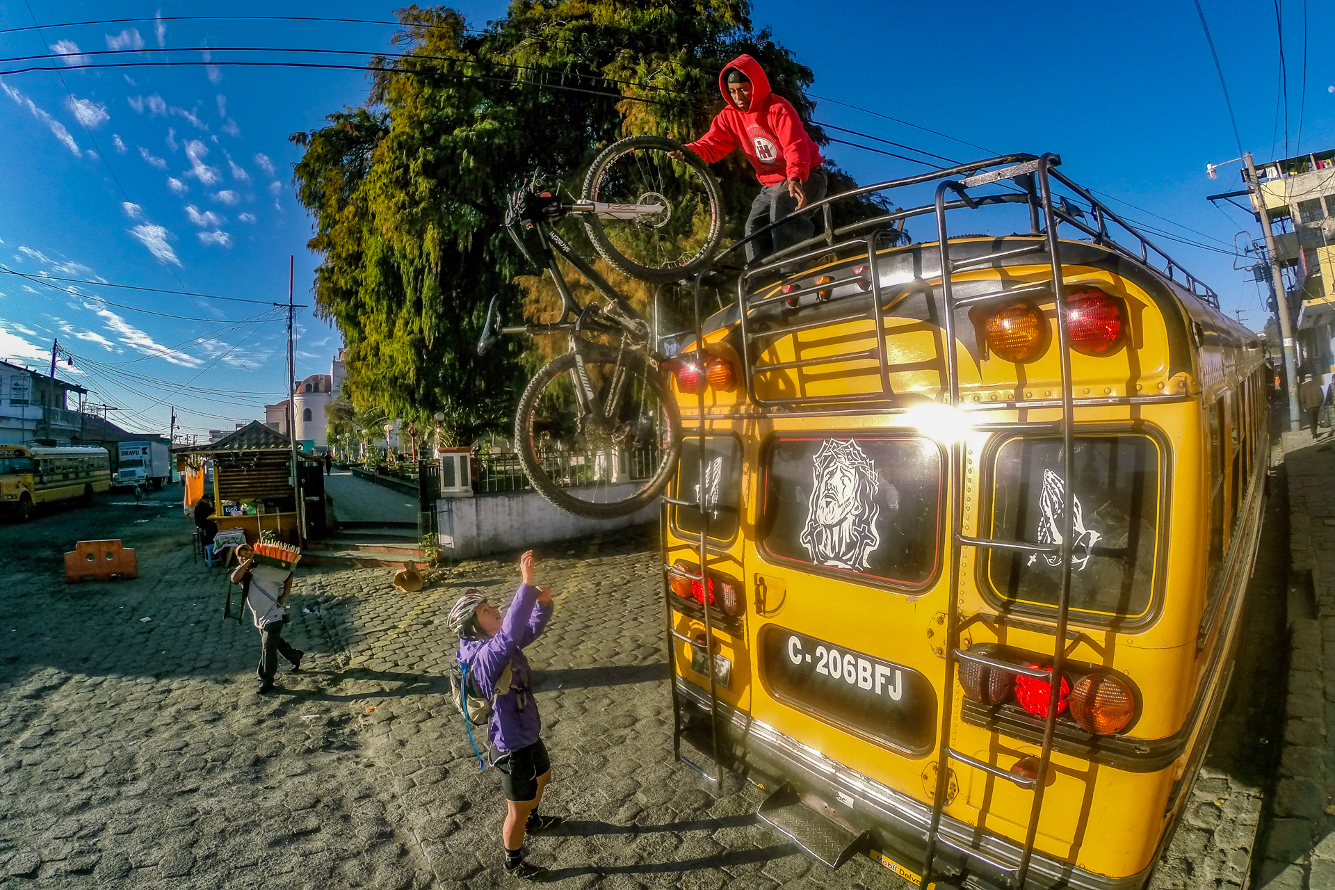
We set the alarm for 4am on the day that we were supposed to climb Volcán Tajumulco. Our plan was to to get the first chicken bus out of Panajachel around 5 or right when the sun came up. From there we would do the usual routine – transfer in Solola and hop off early in El Baranco at the intersection of the Panamerican highway. An early morning text confirmed our friends from the capital were on their way, and we had agreed on a rendezvous of 6am sharp.
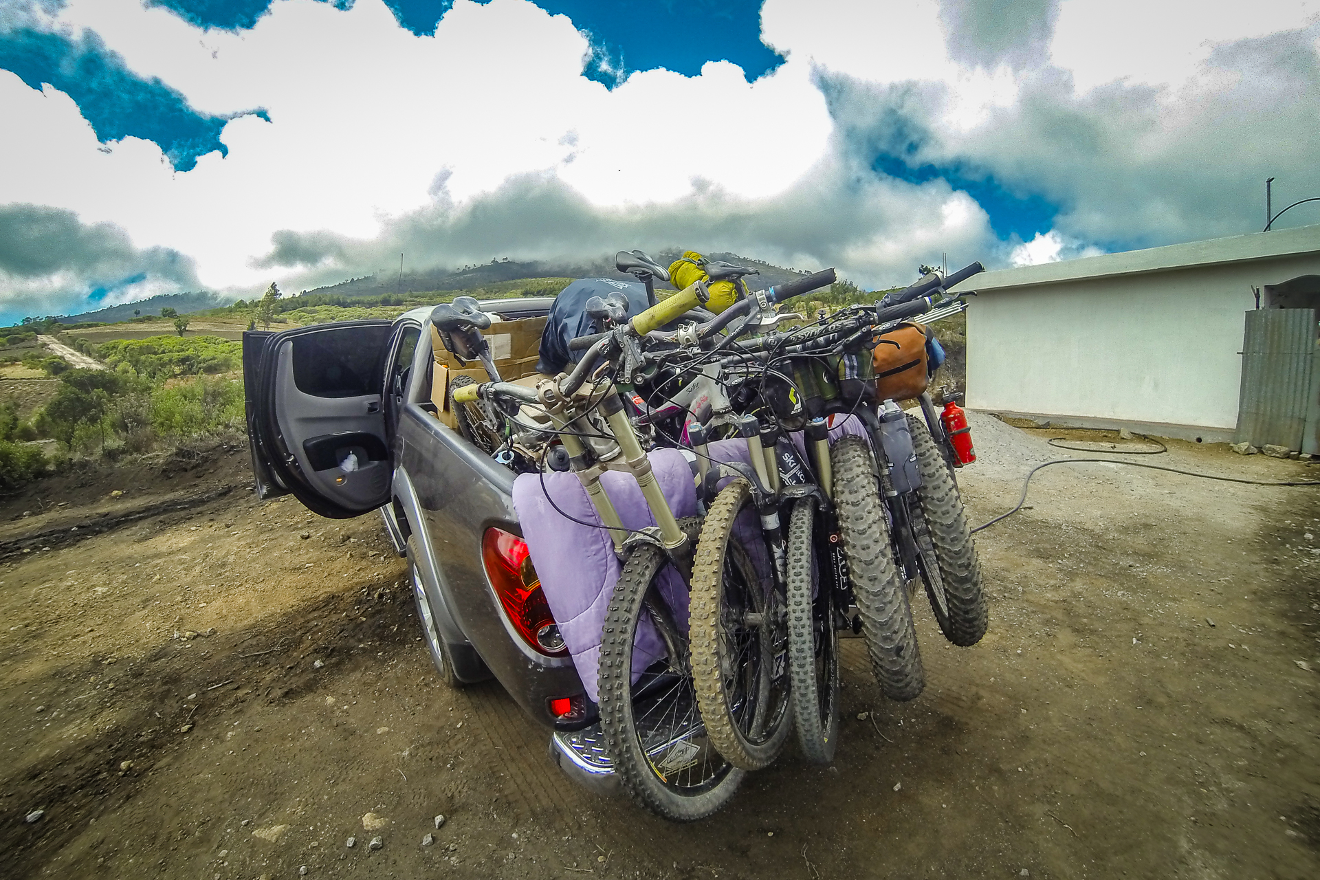
“Did you tell them how much stuff we’re gonna have with us?” Liz asked me, referring to our enormous fatbikes and backpacks loaded with camping and camera equipment. “They will find room to fit us,” I said confidently, “they’re Guatemalan.” Five people and five bicycles is a lot for any vehicle, not to mention that all of us would be carrying the extra supplies needed for camping. Liz and I were prepared to spend up to 6 days in the region and tick off the two largest volcanoes in the country: Volcán Tajumulco and Volcán Tacaná.
Gallery
A long way from home
For this leg of the journey we needed to travel from our home in Panajachel to the the remote northern border that Guatemala shares with Mexico. This involved 2 chicken bus rides and over 6 hours in a cramped pickup truck. When we finally pulled up at the base of the volcano it was early afternoon and we were all stiff, stretching in circles around the car. I was recovering from a sickness that had left me bedridden for 3 days, and had been fighting nausea all morning on the drive. I should have slept in and I was in no condition to be undertaking this serious of a climb. Our departure date was not up for discussion. Travelling along with our friends from the capital would save us over a day of travel over the traditional method (chicken bus). My plan was to recover “on the road” and take it slowly.
Sergio Valdez
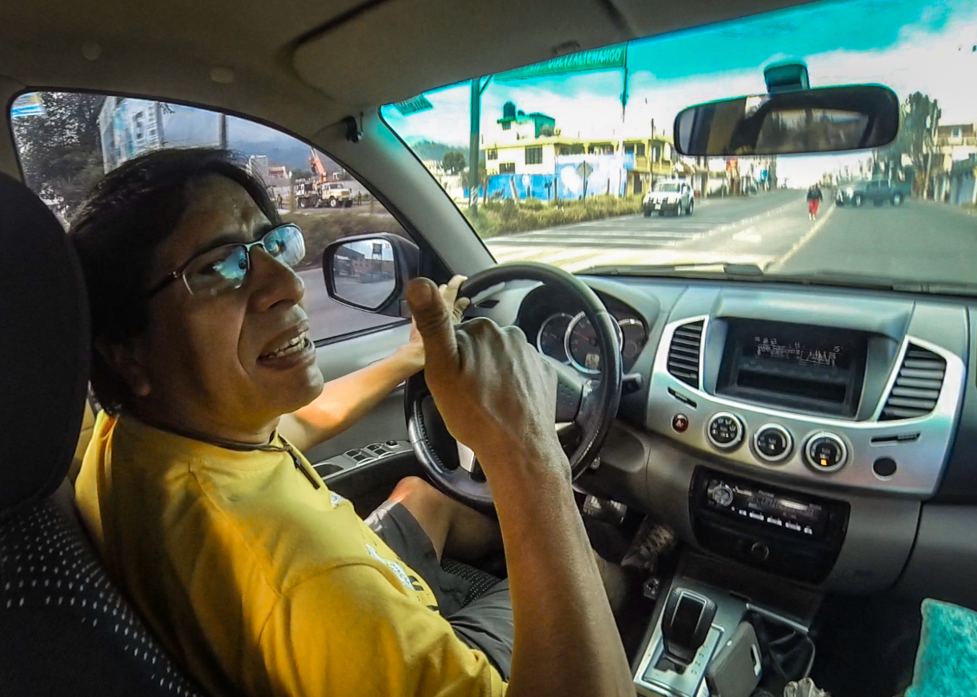
Sergio is the man to talk to about riding the volcanoes. He is fifty years old and has been mountain biking before it was called mountain biking. He has pioneered many of the major bike routes in the country including Acatenango, San Marcos and in the Petén. He proudly states that he has climbed every volcano in Guatemala. Sergio gets out of the city every chance he can get and this year for Semana Santa when he was planning a bicycle assault on Tajumulco, we were more than willing to join him.
Our city friends were much more motivated than we were – their plan was to drive 8 hours to Tajumulco, climb and bike it in a day then drive home the next – Talk about weekend warriors!
Sergio is an amazing source of beta. When we told him about our attempt on Volcán Santiaguito the week prior he just laughed and laughed – pulling out his phone and showing us a webpage with the difficulty ratings of the volcanoes. Santiaguito is the ONE volcano out of all the rest labeled “extreme,” no wonder we had no luck with our massive bicycles!
“Extreme” – go figure
We show up at the base of the volcano in typical Guatemalan fashion: arriving in a fury in our 30k dollar truck. We pull up into a driveway of a farmer and begin barking questions asking him if we can camp and park on his land. The farmers are, as usual, more than happy to oblige and after a bit of bartering we secure a parking space and camping for the night for 10Q a person ($1).
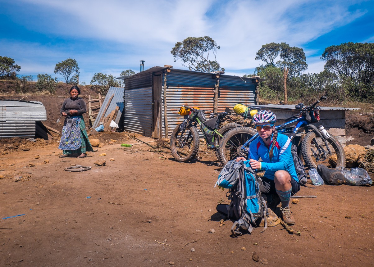
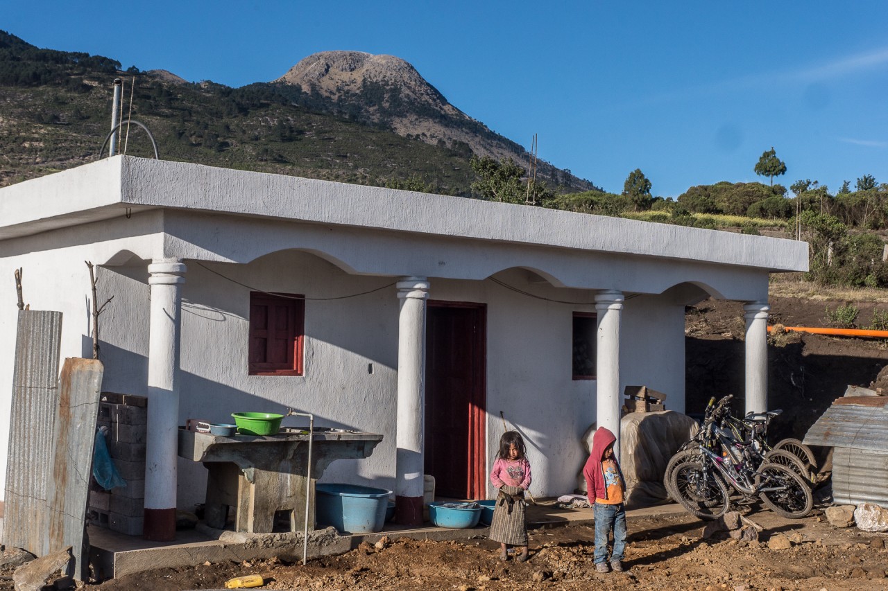
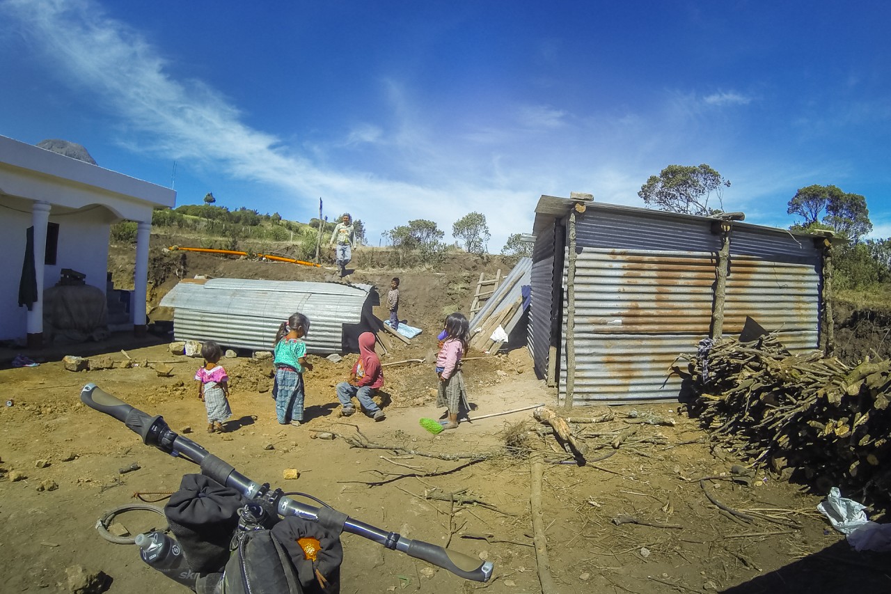
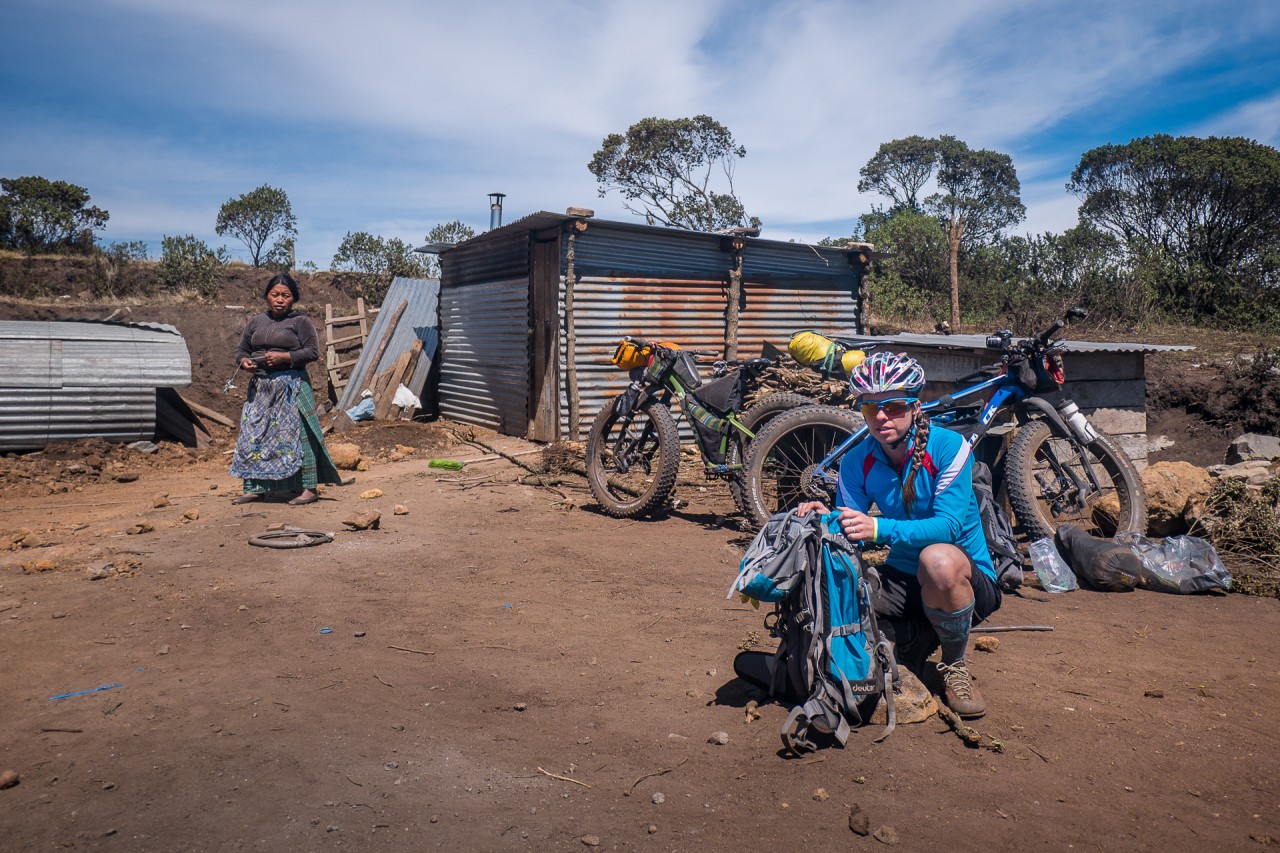
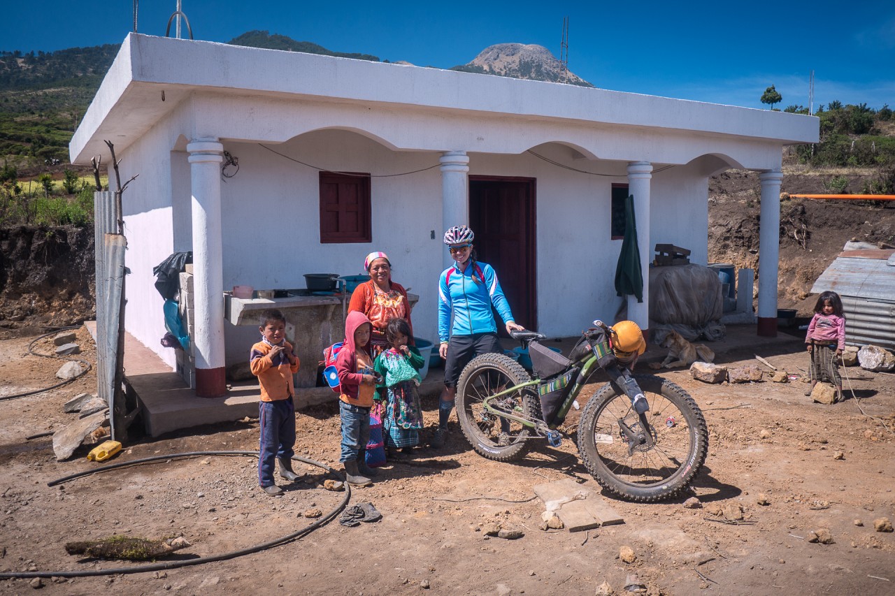
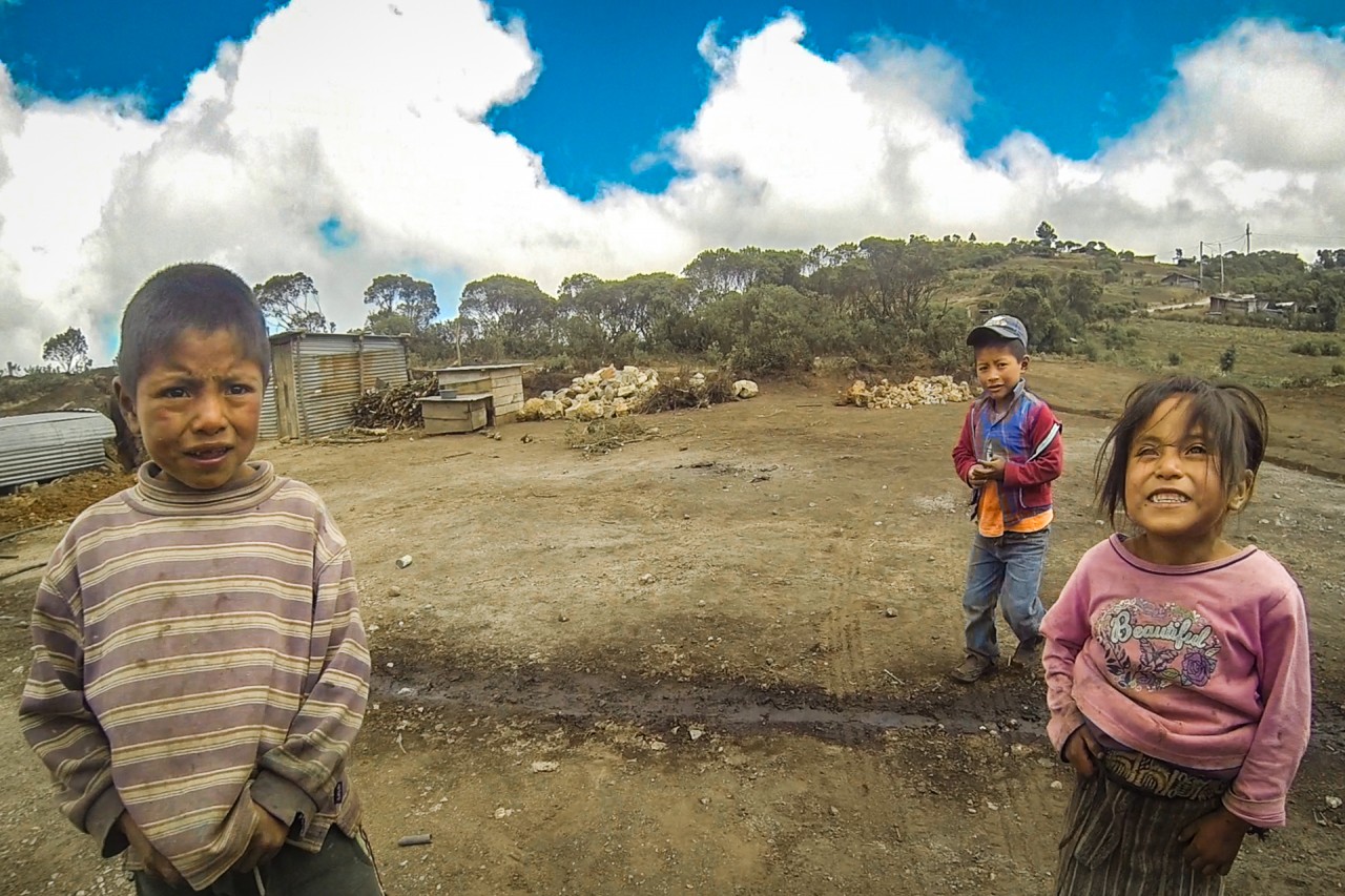
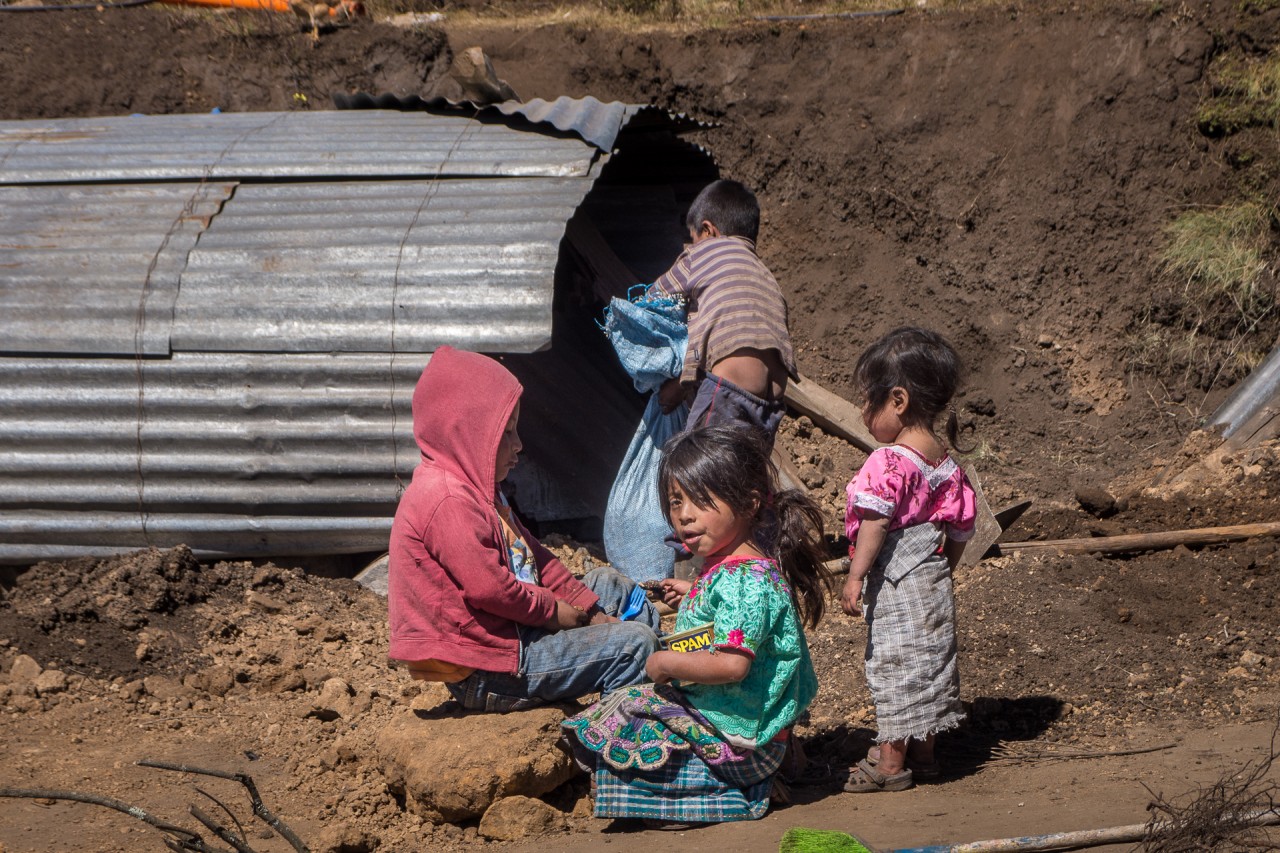
The farmer at the home below the volcano is living with his family – 6 children, wife and a grandmother in a single tin shack while they work on constructing the house. The children are in the yard playing with rope and eating spam with their hands out of tin cans. The kids are taking turns tying the rope around rocks and dragging them around to a larger rock pile, laughing as they played and worked. The weather is ominous with no view of the massive volcano above us – its summit enshrouded in clouds.
The Upward Slog
Haven’t we been through this before?
My last time up Tajumulco I left at 5am before the afternoon clouds moved in – today we were leaving at 2pm and I knew from a photography standpoint there would be no good views up there. We decided to go anyway. Our Guatemalan friends headed off eager to make time to the summit and Liz and I begrudgingly began pushing our fatbikes at the first incline. We were both exhausted.
About halfway up I started to crack with exhaustion and sat in the meadow defeated. The last time I had climbed this volcano I had done it in a little under 3hrs. I felt like I was treading earth – not getting anywhere. Slowly and steadily I proceeded.
Liz pushes uphill, carrying the gear for the two of us.

Guatemala
A vibrant land and culture
Guatemala is a wild and vibrant country not only in its landscapes, but in its native cultures and Mayan people. Guatemala is one of the most ethnically, culturally, and linguistically diverse countries; with twenty-one different Mayan languages spoken along with Spanish.
Guatemala is one of the poorest countries in Central America, largely a result of the decades-long civil war which ended in 1996. The country has been recovering from the war, but is still considered by many a dangerous place to travel.
Lake Atitlán from the summit of Volcan Atitlán with volcanoes San Pedro (left) and Volcán Tolimán (right)
Guatemala
Adventure Mountain Biking Paradise
by Brendan James
In the past year that I have been in Guatemala I have seen some of the most amazing things in my life. Amazing beauty, incredible poverty, amazing kindness, amazing natural wonders and amazing environmental destruction. Living, working and navigating this country has been a daily adventure for me.
The people of Guatemala are incredible. It was their openness to me that kept me here as a traveler and gave me new comfort in the world unknown. As one of the few gringos in the country racing mountain bikes – they embraced me. Guatemalans have given me hospice in their own homes and taken me into their extended family.
You really are never alone in Guatemala. The people here are constantly pushed deeper and deeper into the rugged mountains continuing a tradition of farming and subsistence living off the land.
When exploring within country you need to bring your manners as you never know when you will stumble upon the odd campesino workind the feilds or cutting wood. However, usually with a friendly greeting and a bit of small talk they are always willing to help you along your way.
There is no such thing as “too remote” for a village in Guatemala. Roads begin and end in the middle of nowhere- cuttoff by enormous landslides. The infrastructure of the country is webed together in a unofficial transportation network of Tuk-Tuks, Chicken buses, Fletes (trucks) and pickups. You never have to wait more than 15minutes for a ride in Guatemala, and more likely than not they will ask you first where you want to go.
Guatemala is a living anthropological site with an incredible diversity of people and culture. 80% of the population is indigenous and for many spanish is a second language. The density of tribes here is profound. At lake Atitlan it is not uncommon to run into a different traje or traditional clothes from one town to the next – each village speaking their own distinctive language.
Guatemala! Pura Utz Pin Pin!
The Land of Volcanoes
Nestled between the Caribbean and the Pacific Ocean Guatemala is incredibly mountainous – with sharp ridge lines percolated by deep canyons. Guatemala is home to twenty-two volcanoes, ten of which are over 10,000 feet and seven of which are active. For this project we attempted five of them:
View from the summit of Volcan Acatenango, Guatemala’s highest volcanoes in a chain along the Sierra Madre de Chiapas
Fatbikes in a Foreign Land
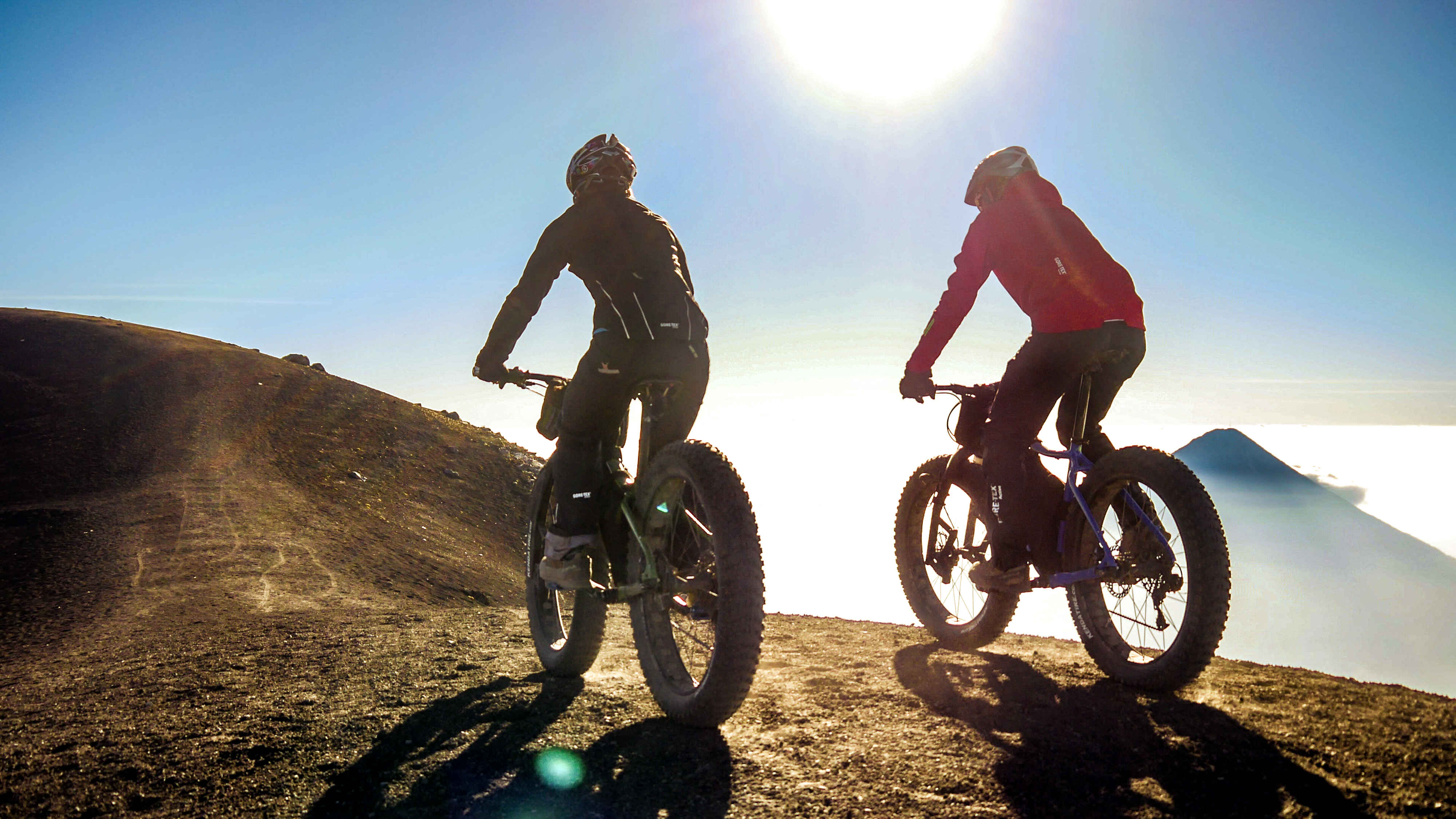
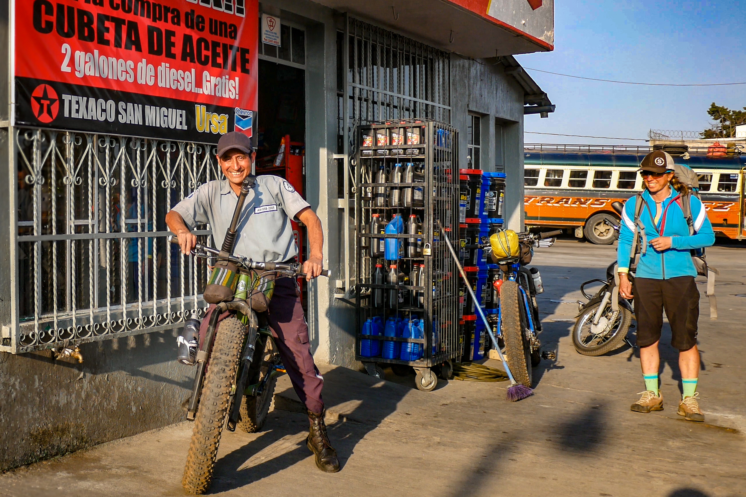
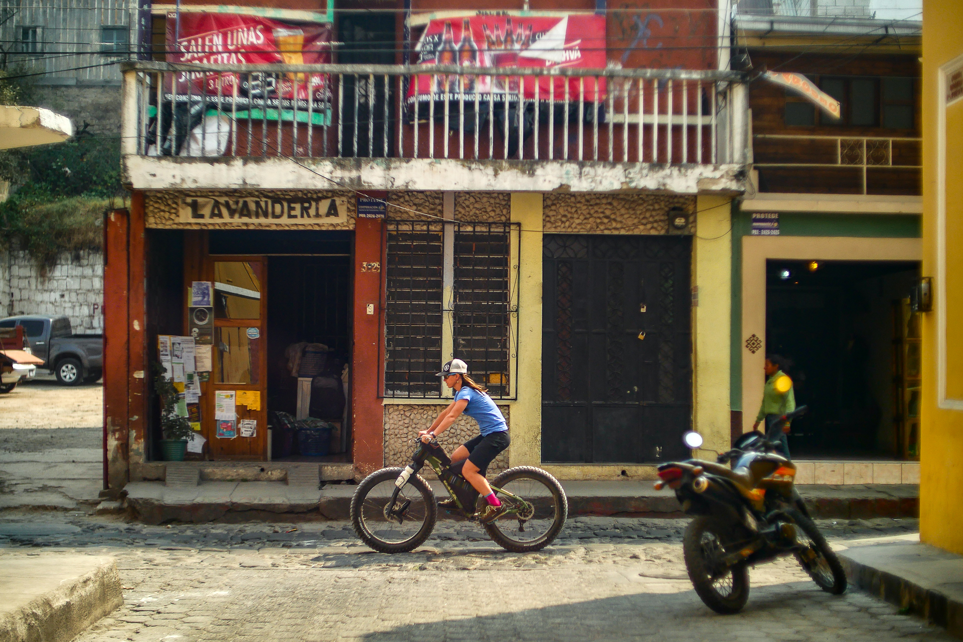
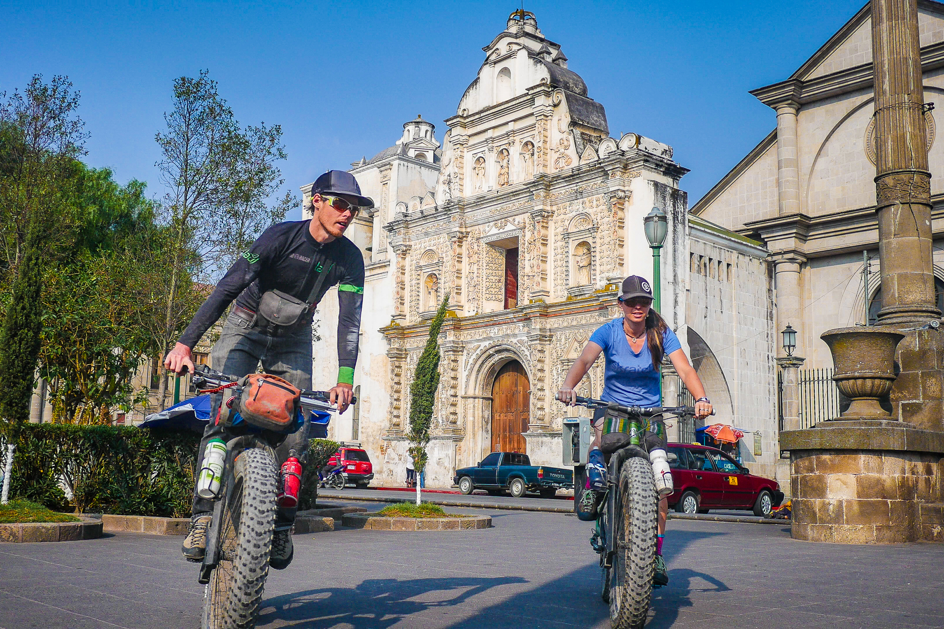
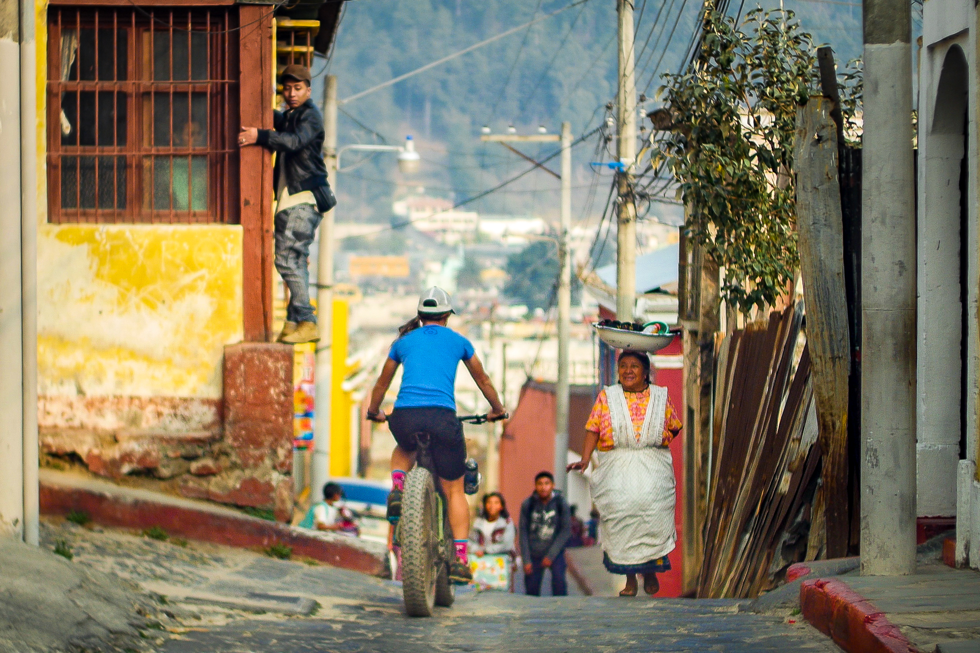
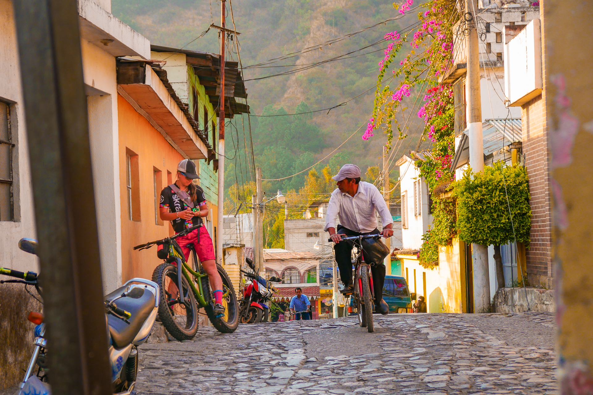
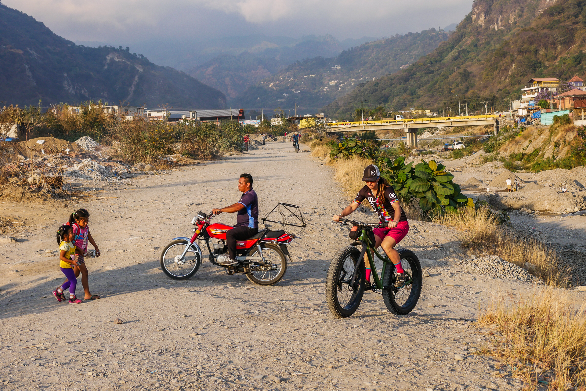
For this trip we knew we would be taking fatbikes where they had never gone before. We became quite a spectacle in Guatemala where the locals would cry out “Bici Gorda! Bici Gorda!” (fatbike in spanish). Everyone wanted to pick up the bikes and feel the tires.
Equipment:
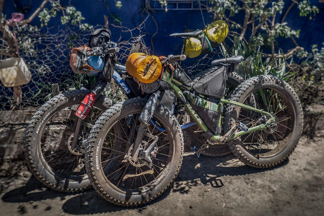
For this expedition we brought two Alaskan built Fatback Rhino Bikes with Lauf Carbonara Suspension forks and 4.5″ tires.
The bikes were outfitted with custom made bikepacking equipment by Mayasak in Panajachel.
For the extreme mountain conditions at 13,000ft we brought Gore Bike Wear outerwear and photochromatic Julbo eyeglasses.
Nutritional and hydration support provided by SkratchLabs out of Colorado.
Photography equipment including Panasonic Lumix Micro 4/3rds cameras.




Bikes:
Fatback Rhino
Lauf Carbonara
SRAM XX1
Kenda Juggernaut Tires
Race Face Componentry
Camping
Primus Gravity II MF Stove
GSI Cookware
BigAgnus Jackrabbit 2 Tent
Marmot Sleeping Bags
Thermarest Sleeping pad
Electronics:
2x Panasonic G7 4k Camera2
2x Gopro Hero3 Black Cameras
Various Gopro Mounts
Tripod, Monopod
Garmin 310xt GPS
Luggage:
Deuter Guide Tour 35SL Backpack
Arcteryx NoZone 35 Backpack
Mayasak Frame Bags
Mayasak Headset Bags
Mayasak Seat bag
Clothing:
GORE Bike Wear
Julbo Stunt Glasses
Julbo Aero Photochrromatic Glasses
Julbo TREK Photochromatic Glasses
La Sportiva Down Jacket
La Sportiva Boulder Approach Shoes
