Published: by PICSPORADIC
All of the photos on this page can be purchased for download or print ? Visit store
[views]
Totonicapán, Guatemala
A visit to the communal forest of the 48 Cantones
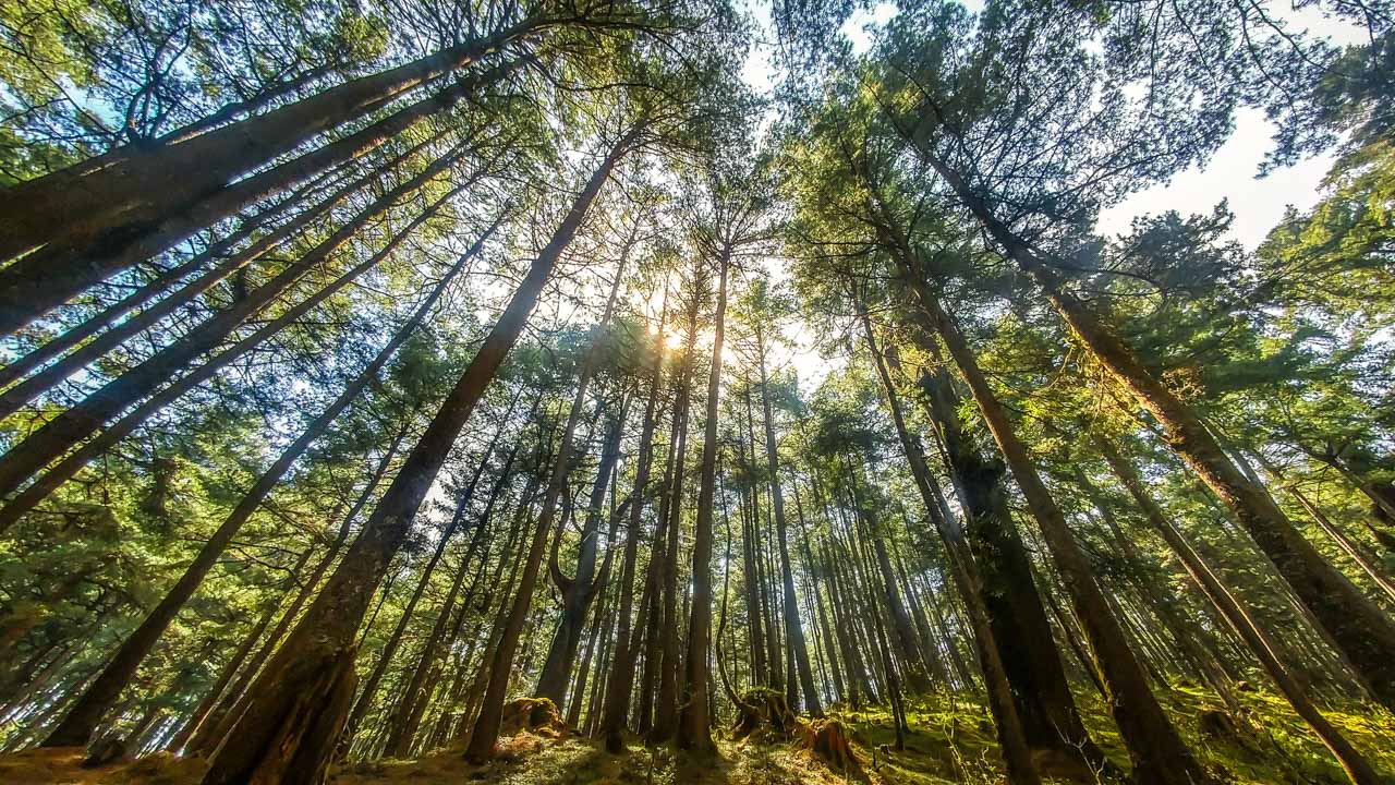
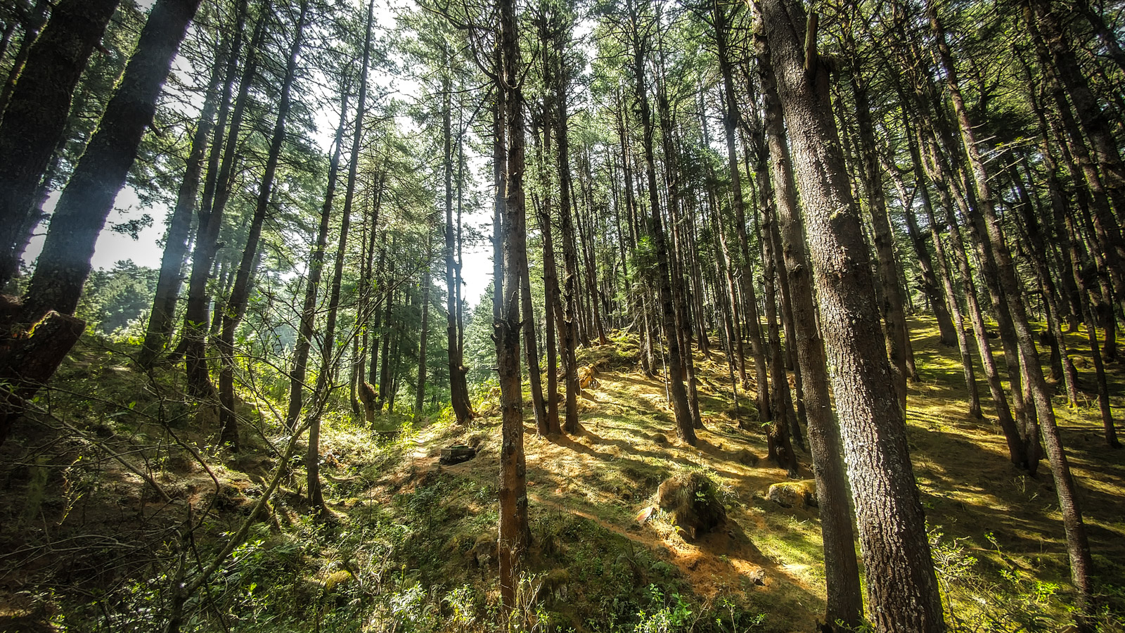
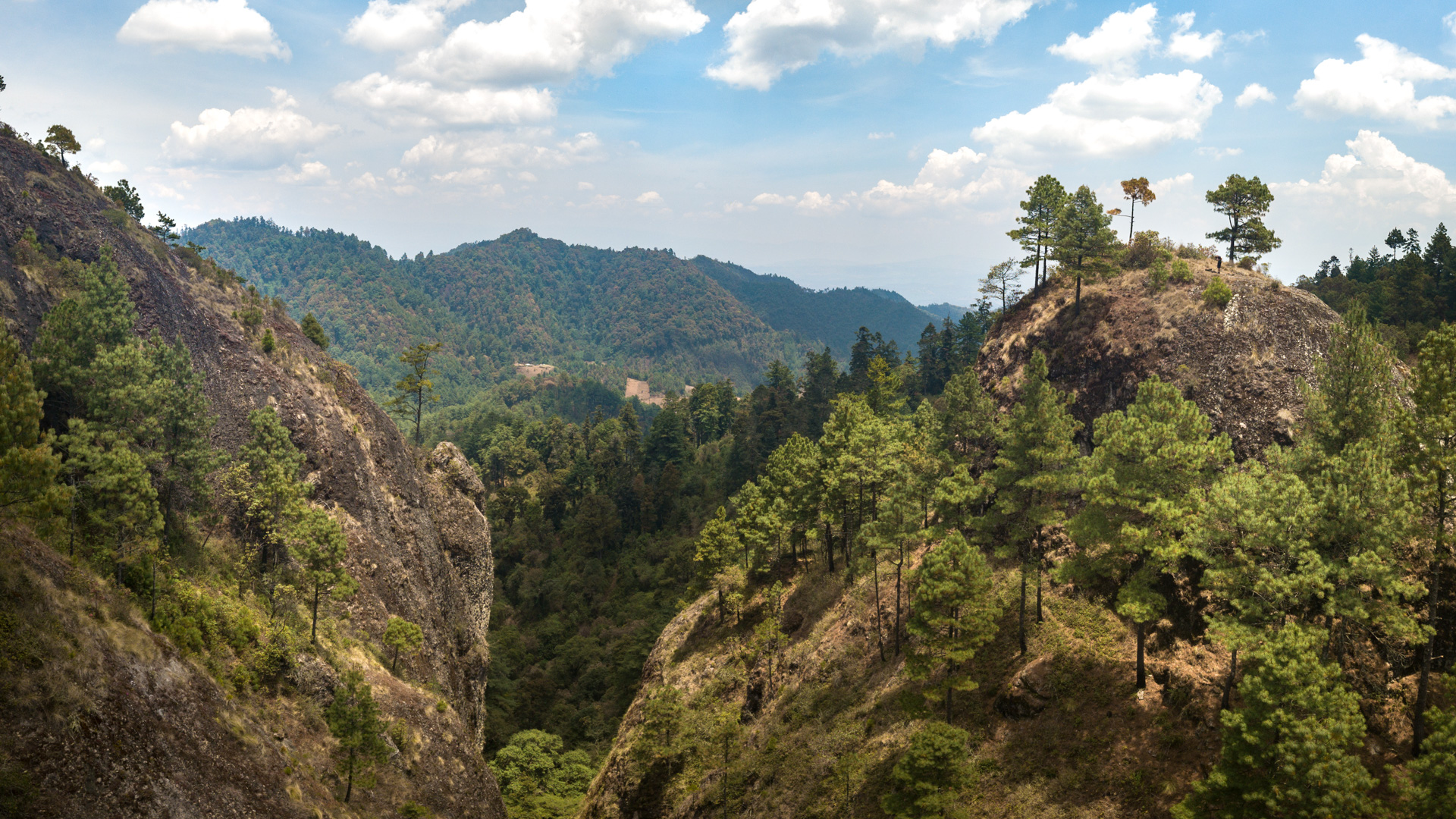
Keeping tradition with my recent weekend epics in and around Guatemala I made a second visit to an area few locals even know about: Totonicápan: a high mountain forest located at 3200m (11,000ft).
The area is home to hundreds of springs that supply water to the communities below. Smartly, the 48 cantones (small towns) in the region have banded together to protect their water sources – the result is Parcialidad Vásquez, Totonicapán: the largest protected coniferous forest in all of Central America.
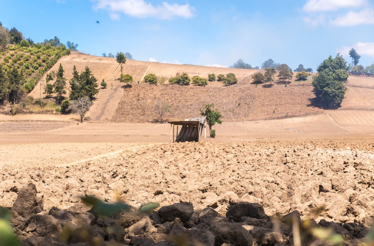
Guatemala has tropical climate with temperatures pretty much averages the same year round – the seasons, however vary drastically. For half the year (sept-april) the highlands receive no rain. During this time the deciduous trees drop their leaves, and the aquifers dry out By the time march rolls around the land is so dry that the earth is covered with a loose dust – more like fine powder.
Climate Crossroads
During the dry season nearly all of the water in Guatemala comes through cloud conductivity. Situated between two oceans – the 2000-4000m the highlands have steady air currents and cloud cover – water condenses in the forests and feeds large underground aquifers.
In 2018 Guatemala is at crossroad of deforestation and desertification. Every year the forests are pushed back farther – fueled by steep population growth. The indigenous population (70+ % of the country) pushes deeper into the forests to clear land and establish homesteads. Environmental protection effort within the country is just beginning to gain steam in terms of establishing protected lands and national parks bu there is little enforcement to keep people from cutting trees in protected areas. -Which is why a community protected area like Parcilidad Vásquez can be so important.
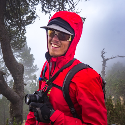
Brendan James
Adventure photographer, athlete and bike guide based in Antigua, Guatemala. Full bio
Thank you to:
Defiant Pack
Custom Frame Bags, Bikepacking, Cargo, Ski Carry Made in Colorado.
www.defiantpack.com
Gallery
[jig_vc][justified_image_grid row_height=150 height_deviation=100 caption=off margin=5px orderby=rand limit=30 max_rows=7 last_row=hide rml_id=176][/jig_vc]Recent Posts
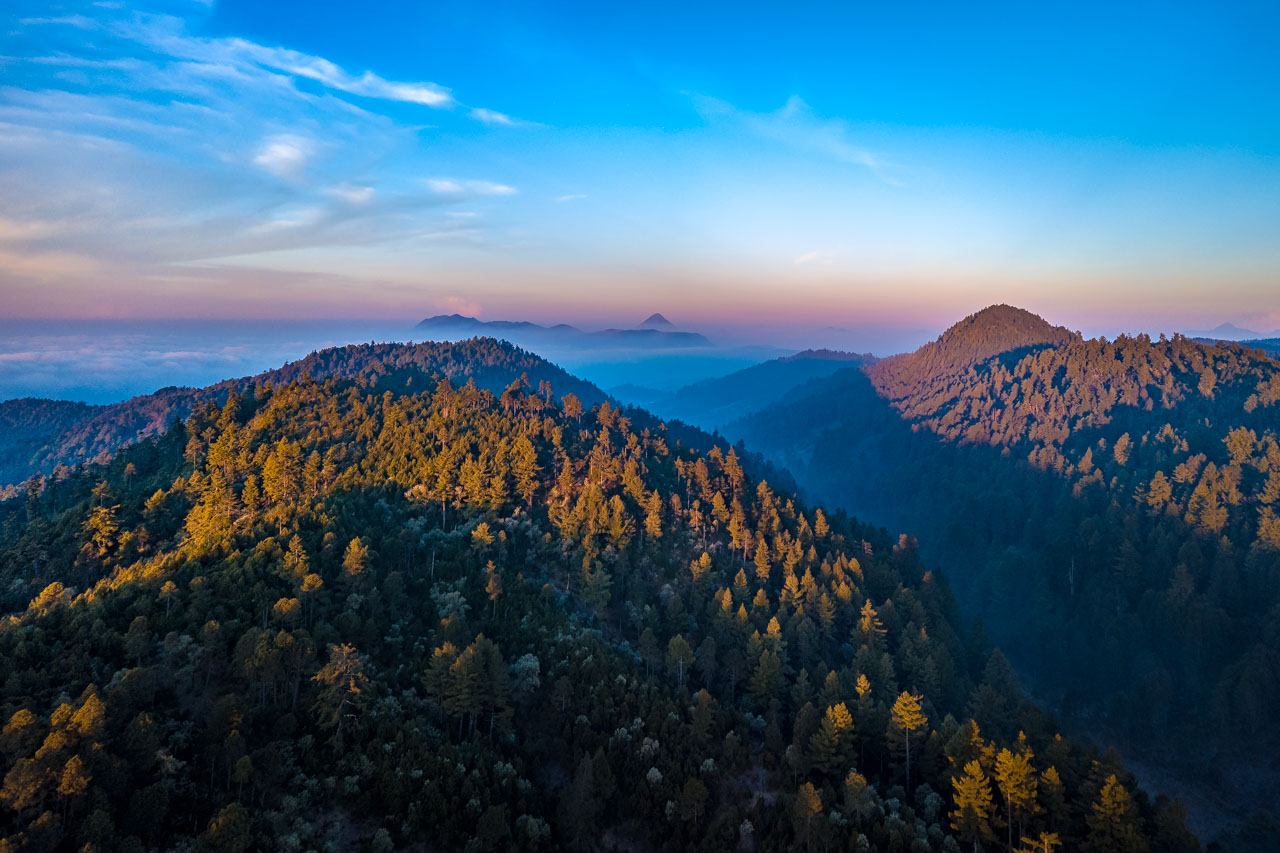
[jig_vc][justified_image_grid row_height=100 caption=fade caption_opacity=1 caption_bg_color=109,76,52,0.8 caption_text_color=white caption_title_size=12px v_center_captions=yes specialfx=everything specialfx_type=desaturate orderby=menu_order max_rows=2 recent_posts=yes recents_description=nicetime][/jig_vc]Sun strikes the mountains looking west towards Quetzaltenango and Volcán Santa Maria. | ?
Back to Bike Bum
Escape to the hills
I broke out of work early leaving Antigua around 4 pm. My first objective: Chimaltenangoabout 300m vertical above the town. By the time I reached the madness at the pan-american highway it was already starting to get dark. With the help of a few ayudantes I threw my bike up ontop of a chicken bus and sped off into the evening fog.
I arrived at Los Encuentros a little after 9 in temperatures around freezing. I stocked up of food and beer and began the 20km ride up to cumbre Maria Tecún – lit by headlight.
About halfway up the climb to 3200m a pickup truck came up behind me, matching my speed. It got annoying to the point that I stopped and asked them was going on. The truck pulled up along side me loaded with men. “where are you going” they asked me – I told them my plan was to bike through the night to Totonicápan. “this land is private” they told me “yes, but I am on a public road” I said a bit nervously.
After a bit of back and forth the men in the truck sped off – on a road I knew had no exit. I headed my inner voice and pulled off into the woods on the nearest trail – extinguishing my light and taking a break for a piss. – Sure enough the pickup doubled back. Creeping slowly along the road. I ducked behind a boulder and waited for them to pass. I resolved to continue with as little light as possible – advancing quickly to the trailhead.
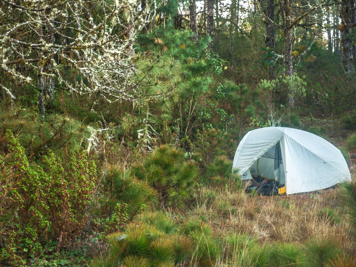
Bikebum camp – at around 11,000ft we got frost at night| ?
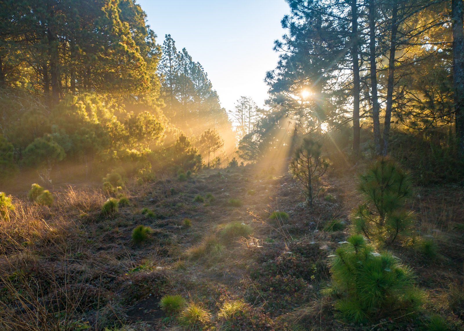
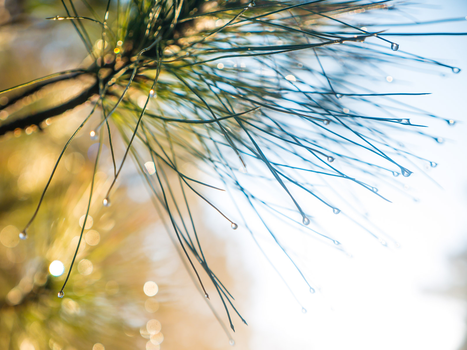
First rays of light filtering through the trees. Totonicapán, Guatemala (3300m) |?
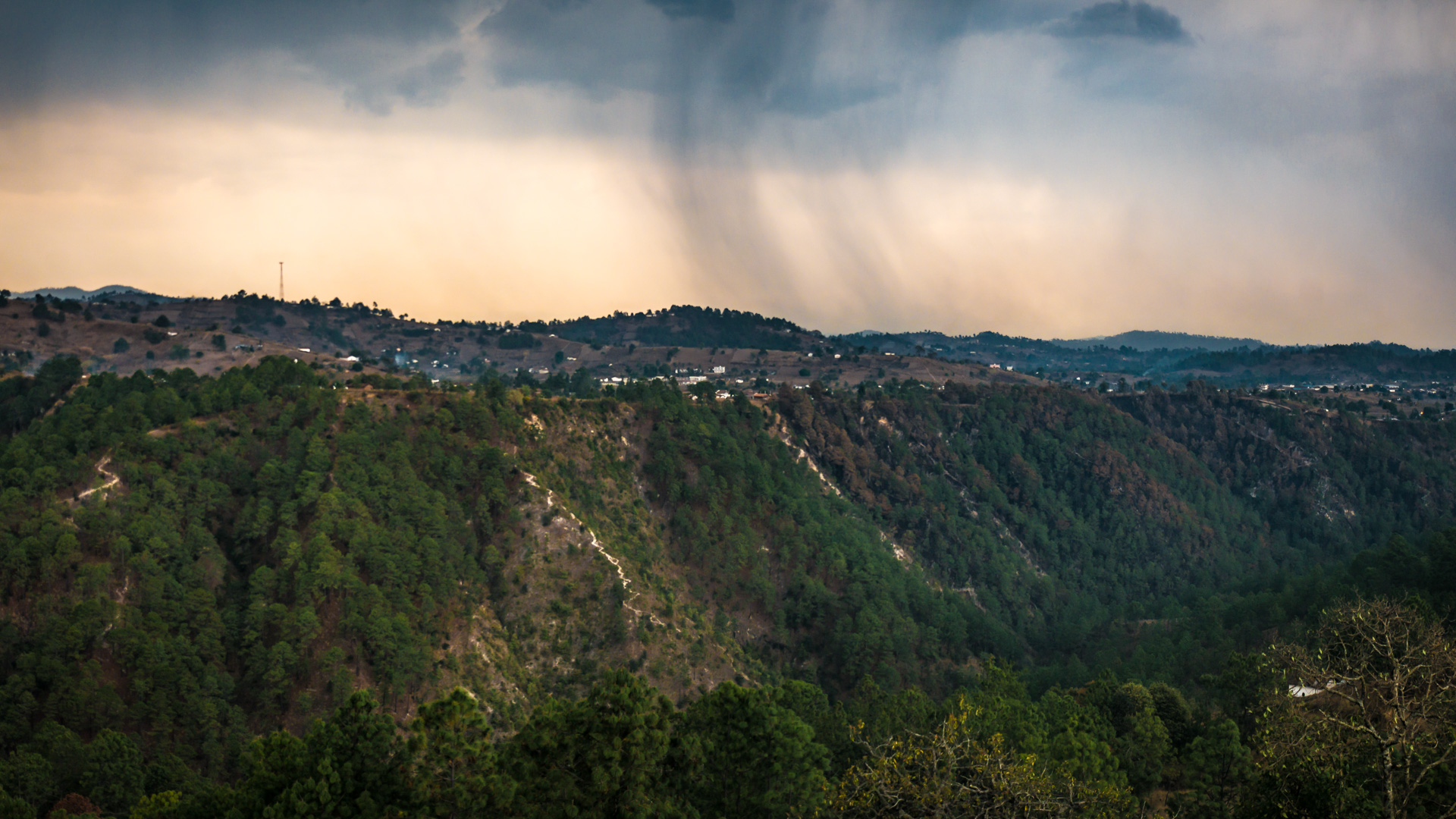
Sunrise over Quiché with it’s many canyons and ridges holding the morning fog. |? Purchase
Slightly Paranoid
I reached the summit of Maria Tecún around midnight. After my encounter earlier that evening I scoured the forest and retreated far from the trail to pitch my tent.
There are very few places in the Guatemalan highlands where you can wild camp. Campesios rise early and guardianes patrol enormous tracts of private land. That being said it hasn’t stopped me from trying to camp where I can. Camping in Guatemala has made me extremely paranoid about finding a hidden spot. About eight times out of ten I am awoken by someone, usually armed.
Sweet Reprive
I have never adapted well to the urban establishments in Latin America. Which is why a quiet night in the wilderness is like medication to me. Towns in Guatemala grid themselves out with concrete towers in a patchwork with livestock and farmland. Latin American life is noisy – and life in Antigua more so with the churches in a constant competition to out firework each other. Each weekend – bombs and fireworks go well past midnight – and the first bombs of the day set off around 5am like the muslim adhan. Dogs and roosters fill in the spaces in-between.
It’s really a shame because Guatemala has so many areas of natural beauty – and solice. But I have yet to find a way to live as a foreigner outside the urban center.
Enormous cypress trees stretch up in the forests of Totonicapán. ? Purchase
A network of Aqueducts
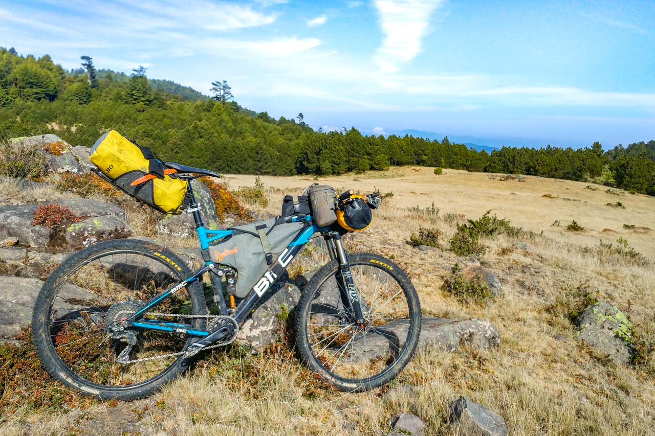
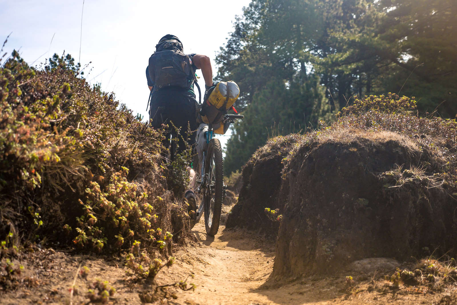
The communal forest of Totonicapán is dotted with countless springs and aqueducts. Each spring has the name of the municipality it feeds painted on it along with a color code – corresponding water pipe buried below. The area has an enormous trail system – which coincidentally is mostly ridable, even on the bikepacking setup. Following the color blazed on the trees you can follow the waterlines below.
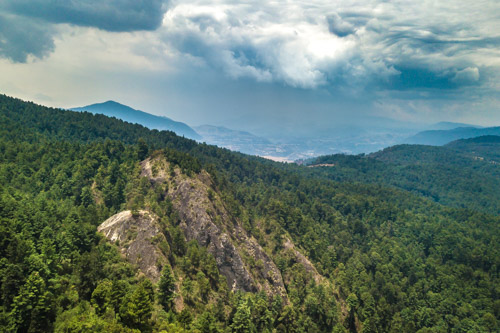
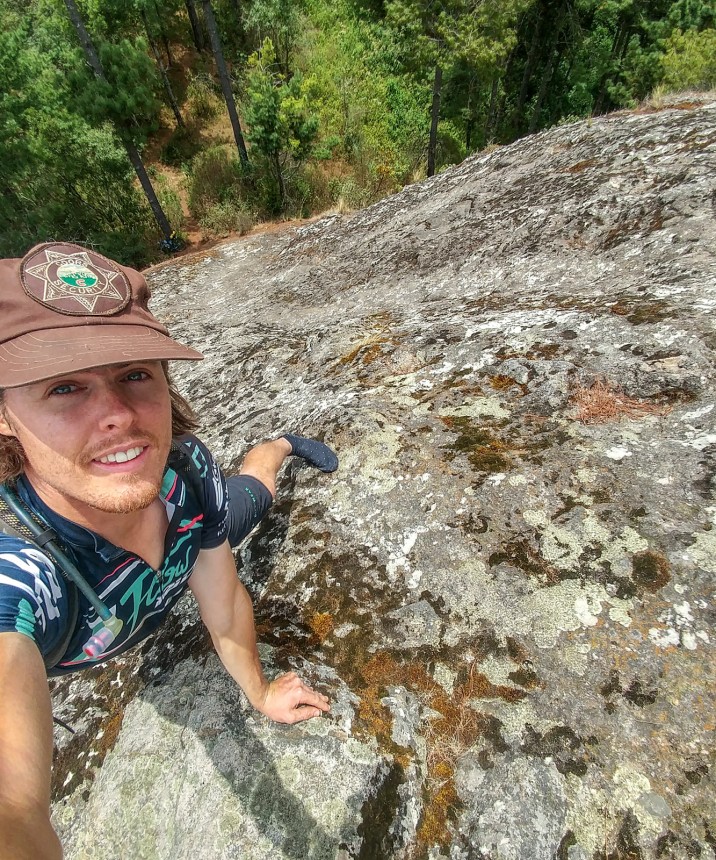
That is not to say I didn’t get lost more than once // cliffed out or stuck in a section with no way out but down. For happenstance I stumbled across an enormous cliff formation with views over the forest. I pulled off my bike cleats and scrambled to the top, only to find two Mayan men up at the top – barefoot as well. Holding a fire ceremony. One of them had to be 80 years old.
We talked for a bit and I left them to their rituals, exploring around the far side of the cliff. Not that any rock climber would make it this far out into the forests of Totonicapán Guatemala, but if they did they would find incredible granite towers just waiting to be climbed.
Scrambling to the top of one of the granite towers in the forest. | ?
Someimes lost isn’t so bad – stumbling across these enormous cliff formations – complete with Mayan prayer sites at the summits. |?
Quiché
Hunting for singletrack in the home of the K'iche' Maya
Down and down – I followed the logging trails until I hit pavement. I made it! It is always a relief to not have to hike out. I was back on my map – a road I had ridden many times before. I stopped at a tienda and loaded up on simple sugars before continuing onward to Santa Cruz del Quiché.
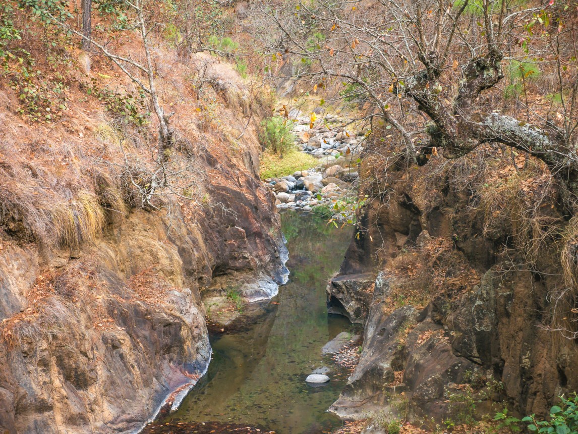
Although I was feeling a bit exhausted – a faint track on satilite view enticed me to descend into a dry canyon. I came across a couple women at the bottom, whom I understandably startled as they were washing their cloths. After a breif hike-a-bike I stumbled upon a perfect singletrack trail winding along a cliff through the canyon.
In the dry canyons of Quiché water is rare. One must descend hundreds of meters before you reach a small stream like this at the bottom.
We made it
Part of what makes this area so special is the abundance of footpaths. Quiché and Totonicapán are home to countless small indigenous villages living much like they did 400 years ago – working the land, farming, logging and weaving. To approach this region is to arrive without a map. Looking across the deep canyons and vallies you can let your imagination wander with the countless opportunities for exploration – visible in the numerous trails and 4×4 roads that switchback the hillsides.
I would go on to reunite that evening with my friends from Escarabajos Quiché – the local mountain bike club. I arrived in the rain to the the town were I once lived for two months – my frined Tony Tavico put me up in his father’s hotel for the night above the tire repair shop that he owns. Tomorrow I will drop the bikepacking bags and head to Lake Atitlán – a full 75km from here on a new route that they have been working on.
The spirit of mountain biking lives on in Guatemala.
-Brendan James
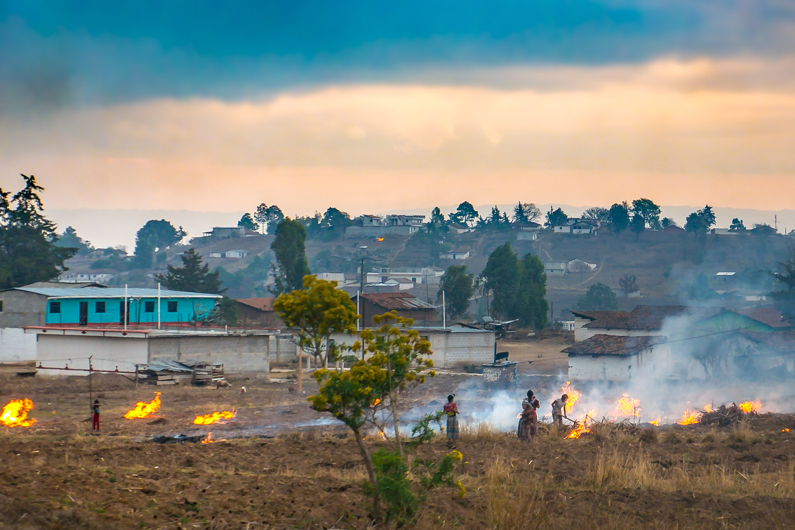
Taking advantage of the rains – locals light fire to cornstalks clearing their fields in preparation for planting. |?
Route Map
Gallery
Published: by PICSPORADIC
[views]
Like what you read?
The best way you can support the work I do is through purchasing photos and prints on this site.
I love seeing my photos in print!
All photos here are available in high resolution – they can be downloaded and printed at up to 48in on the longest side. Prices start at $2.99
Check out the store for more: www.picsporadic.com/digital
